St. Maries in Benewah County, Idaho — The American West (Mountains)
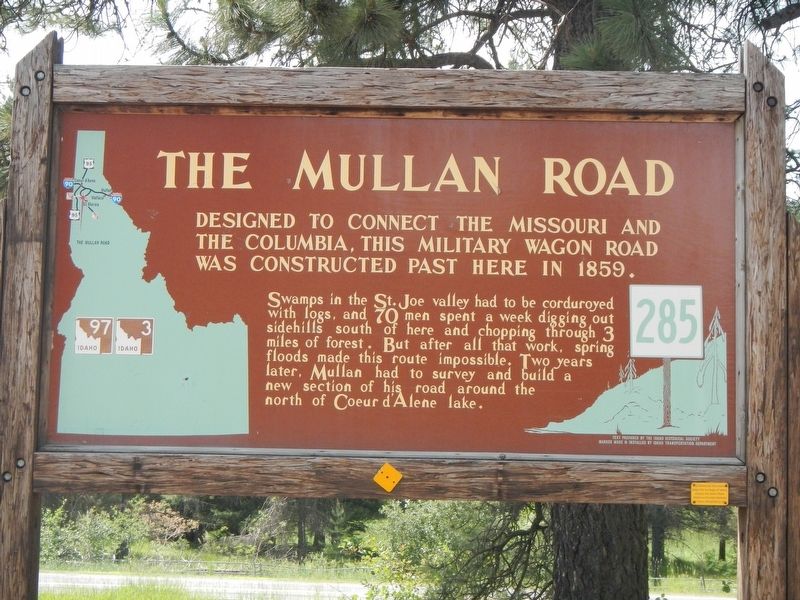
The Mullan Road
Swamps in the St. Joe valley has to be corduroyed with logs, and 70 men spent a week digging out sidehills south of here and chopping through 3 miles of forest. But after all that work, spring floods made the route impossible. Two years later, Mullan had to survey and build a new section new section of his road around the north of Coeur d'Alene lake.
Erected by Idaho Department of Transportation. (Marker Number 285.)
Topics and series. This historical marker is listed in these topic lists: Military • Roads & Vehicles. In addition, it is included in the Idaho State Historical Society series list.
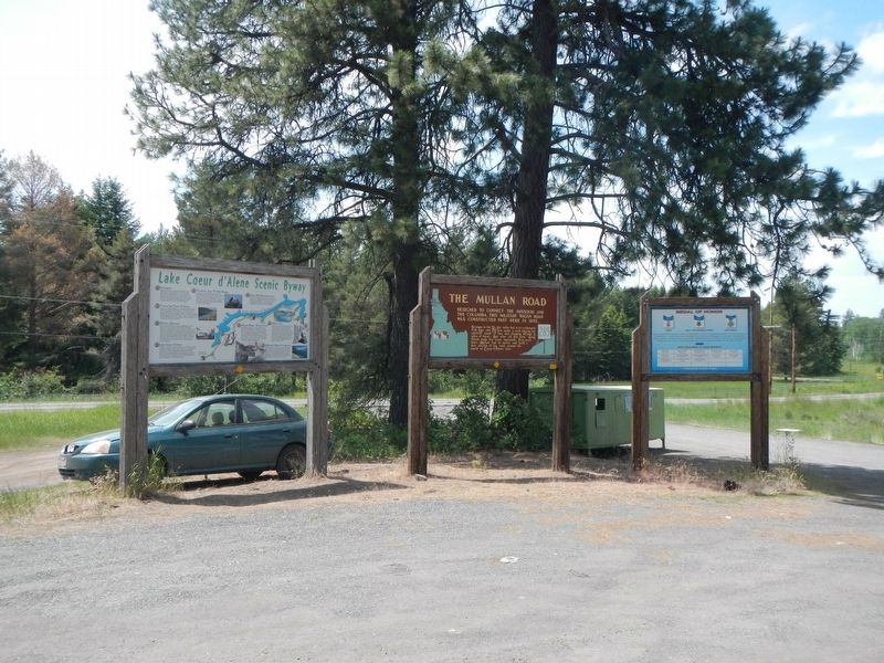
Location. 47° 23.976′ N, 116° 39.671′ W. Marker is in St. Maries, Idaho, in Benewah County. Marker is at the intersection of State Highway 3 at milepost 96 and State Highway 97, on the right when traveling south on State Highway 3. Touch for map. Marker is at or near this postal address: 45800 Idaho Highway 3, Saint Maries ID 83861, United States of America. Touch for directions.
Other nearby markers. At least 8 other markers are within 7 miles of this marker, measured as the crow flies. Saint Joseph Indian Mission (approx. 2˝ miles away); Once an area of many uses by the Coeur d'Alene People (approx. 5.7 miles away); Heyburn State Park (approx. 6.1 miles away); Submerged Valley (approx. 6.3 miles away); Mullan Trail Road (approx. 6.6 miles away); John Mullan (approx. 6.6 miles away); Splash Dam at Hobo Creek (approx. 6.6 miles away); Willamette Steam Donkey Engine (approx. 6.6 miles away). Touch for a list and map of all markers in St. Maries.
Also see . . . The Mullan Road: A Real Northwest Passage -- History Link. Not all the advice he got was accurate. In key matters his crafty associates sometimes gave him information deliberately designed to confuse, mislead, and delay. He was patient and discriminating and well aware of the limitations of his local resources. Bit by bit, sometimes by trial and error, he sorted out this intelligence until he finally had the right answers. (Submitted on August 19, 2018, by Barry Swackhamer of Brentwood, California.)
Credits. This page was last revised on August 19, 2018. It was originally submitted on August 19, 2018, by Barry Swackhamer of Brentwood, California. This page has been viewed 333 times since then and 52 times this year. Photos: 1, 2, 3. submitted on August 19, 2018, by Barry Swackhamer of Brentwood, California.


