Harrison in Kootenai County, Idaho — The American West (Mountains)
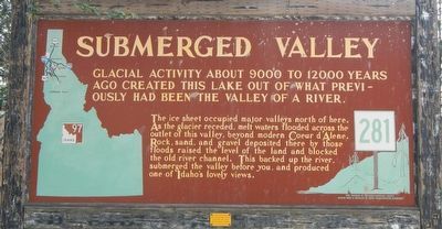
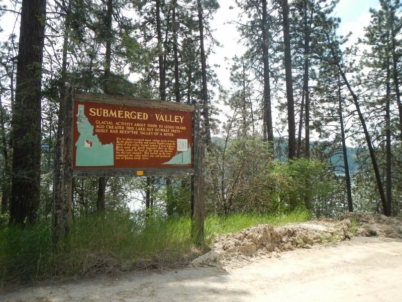
Submerged Valley
The ice sheet occupied major valleys north of here. As the glacier receded, melt waters flooded across the outlet of this valley, beyond modern Coeur d'Alene. Rock, sand, and gravel deposited there by those floods raised the level of the land and blocked the old river channel. This backed up the river, submerged the valley before you, and produced on of Idaho's lovey views.
Erected by Idaho Department of Transportation. (Marker Number 281.)
Topics and series. This historical marker is listed in this topic list: Natural Features. In addition, it is included in the Idaho State Historical Society series list.
Location. 47° 26.881′ N, 116° 46.534′ W. Marker is in Harrison, Idaho, in Kootenai County. Marker is on Harrison Road (State Highway 97 at milepost 67) near East O'Gara Road, on the left when traveling north. Touch for map. Marker is in this post office area: Harrison ID 83833, United States of America. Touch for directions.
Other nearby markers. At least 8 other markers are within 13 miles of this marker, measured as the crow flies. Hnpetptqwe'n Wayside (approx. 6 miles away); The Mullan Road (approx. 6.3 miles away); Once an area of many uses by the Coeur d'Alene People (approx. 6˝ miles away); Heyburn State Park (approx. 6˝ miles away); Saint Joseph Indian Mission (approx. 7.2 miles away); Mullan Trail Road (approx. 12.6 miles away); John Mullan (approx. 12.6 miles away); Splash Dam at Hobo Creek (approx. 12.6 miles away).
Credits. This page was last revised on August 19, 2018. It was originally submitted on August 19, 2018, by Barry Swackhamer of Brentwood, California. This page has been viewed 317 times since then and 14 times this year. Photos: 1, 2. submitted on August 19, 2018, by Barry Swackhamer of Brentwood, California.

