Bonners Ferry in Boundary County, Idaho — The American West (Mountains)
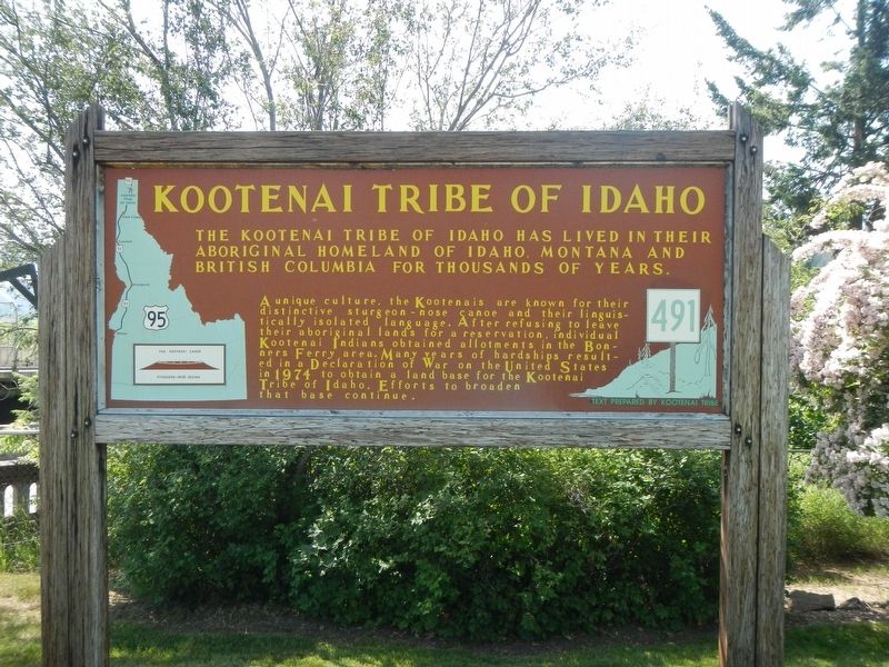
Kootenai Tribe of Idaho
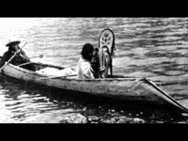
A unique culture, the Kootenais are known for their distinctive sturgeon-nose canoe and their linguistically isolated language. After refusing to leave their aboriginal lands for a reservation, individual Kootenai Indians obtained allotments in the Bonners Ferry area. Many years of hardships resulted in a Declaration of War on the United States in 1974 to obtain a land base for the Kootenai Tribe of Idaho. Efforts to broaden that base continue.
Erected by Idaho Department of Transportation. (Marker Number 491.)
Topics and series. This historical marker is listed in this topic list: Native Americans. In addition, it is included in the Idaho State Historical Society series list. A significant historical year for this entry is 1974.
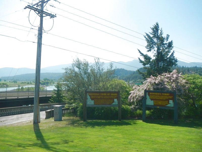
Location. 48° 42.084′ N, 116° 18.888′ W. Marker is in Bonners Ferry, Idaho, in Boundary County. Marker is at the intersection of Chinook Street and U.S. 95, on the right when traveling east on Chinook Street. Touch for map. Marker is at or near this postal address: 6495 Chinook Street, Bonners Ferry ID 83805, United States of America. Touch for directions.
Other nearby markers. At least 8 other markers are within walking distance of this marker. Bonner's Ferry (a few steps from this marker); Crossing the Kootenai (approx. ¼ mile away); Pelton Wheel (approx. ¼ mile away); Solving Power Problems (approx. ¼ mile away); Electrifying Bonners Ferry (approx. ¼ mile away); Logging Railroads (approx. 0.3 miles away); Railroad Services (approx. 0.3 miles away); Semaphores (approx. 0.3 miles away). Touch for a list and map of all markers in Bonners Ferry.
Also see . . . Kootenai Tribe of Idaho -- Wikipedia. On September 20, 1974, the 67 members of the Kootenai Tribe formally declared war on the United States, seeking federal recognition.... They did not engage in violence, and, by calling attention to their situation, the tribe was deeded 12.5 acres (5.1 ha) of federal land surrounding the former mission in Bonners Ferry. (Submitted on August 20, 2018, by Barry Swackhamer of Brentwood, California.)
Credits. This page was last revised on August 20, 2018. It was originally submitted on August 20, 2018, by Barry Swackhamer of Brentwood, California. This page has been viewed 306 times since then and 29 times this year. Photos: 1, 2, 3. submitted on August 20, 2018, by Barry Swackhamer of Brentwood, California.


