Near State Line in Greene County, Mississippi — The American South (East South Central)
Clark Cemetery
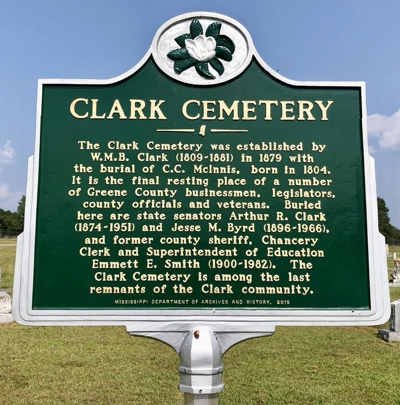
Photographed by Mark Hilton, August 23, 2018
1. Clark Cemetery Marker
Erected 2015 by Mississippi Department of Archives and History.
Topics and series. This historical marker is listed in these topic lists: Cemeteries & Burial Sites • Industry & Commerce • Settlements & Settlers. In addition, it is included in the Mississippi State Historical Marker Program series list. A significant historical year for this entry is 1879.
Location. 31° 17.161′ N, 88° 34.43′ W. Marker is near State Line, Mississippi, in Greene County. It is on Old Avera Road 0.1 miles south of Kate James Road, on the right when traveling north. Located in Clark (Clark Chapel) Cemetery.
this page online

Regionally, this marker is in East Mississippi and in the Pine Belt. It is also in the American South, specifically in the Deep South, and in the Piney Woods. Globally, it is in North America, a Gulf of Mexico state, the Western Hemisphere, the Western World, and the Anglosphere. Historically, it finds itself in what was once New Spain, the territory of the Mississippian Culture, one of the Confederate States of America, and the Antebellum South.
Other nearby markers. At least 6 other markers are within 14 miles of this marker, measured as the crow flies: Byron Patton "Pat" Harrison (approx. 9.3 miles away); Confederate Veterans of Greene County (approx. 9.3 miles away); Battle of McLeod's Mill (approx. 9.6 miles away); Fruitdale Brethren Church (approx. 10.4 miles away in Alabama); Fruitdale Union Chapel (approx. 10½ miles away in Alabama); South Oak Grove Baptist Church (approx. 13.8 miles away in Alabama).
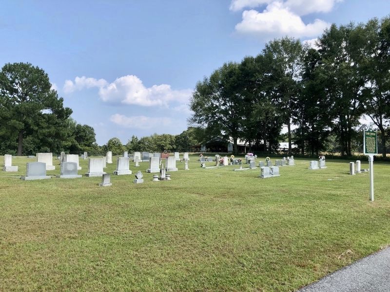
Photographed by Mark Hilton, August 23, 2018
2. Clark Cemetery Marker at the Clark Chapel Cemetery.
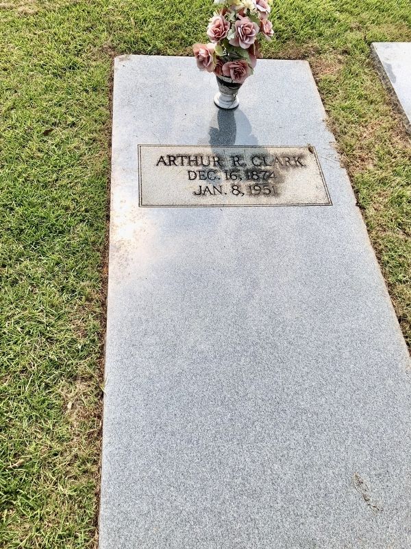
Photographed by Mark Hilton, August 23, 2018
3. Nearby grave of Arthur Clark, noted on marker.
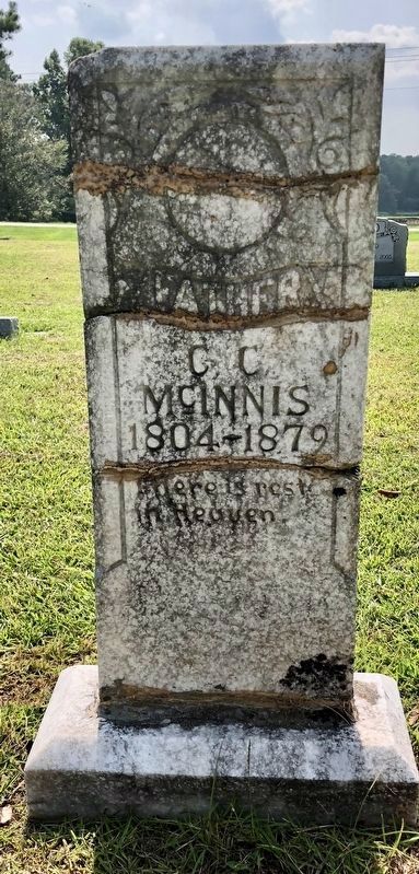
Photographed by Mark Hilton, August 23, 2018
4. Nearby grave of С.С. McInnis noted on marker.
Photographed by Mark Hilton, August 23, 2018
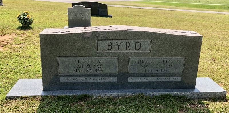
5. Nearby grave of Jesse Byrd (on left), noted on marker.
Credits. This page was last revised on November 23, 2019. It was originally submitted on August 23, 2018, by Mark Hilton of Montgomery, Alabama. This page has been viewed 760 times since then and 58 times this year. Photos: 1, 2, 3, 4, 5. submitted on August 23, 2018, by Mark Hilton of Montgomery, Alabama.
Editor’s want-list for this marker. Photo of grave of Emmett Smith. • Can you help?
