French Quarter in New Orleans in Orleans Parish, Louisiana — The American South (West South Central)
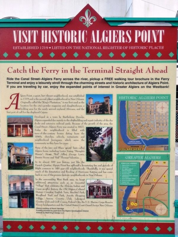
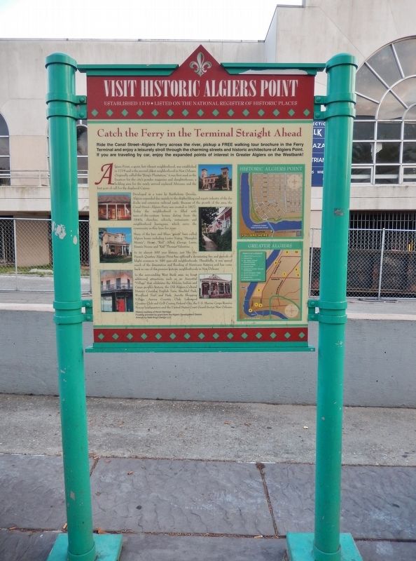
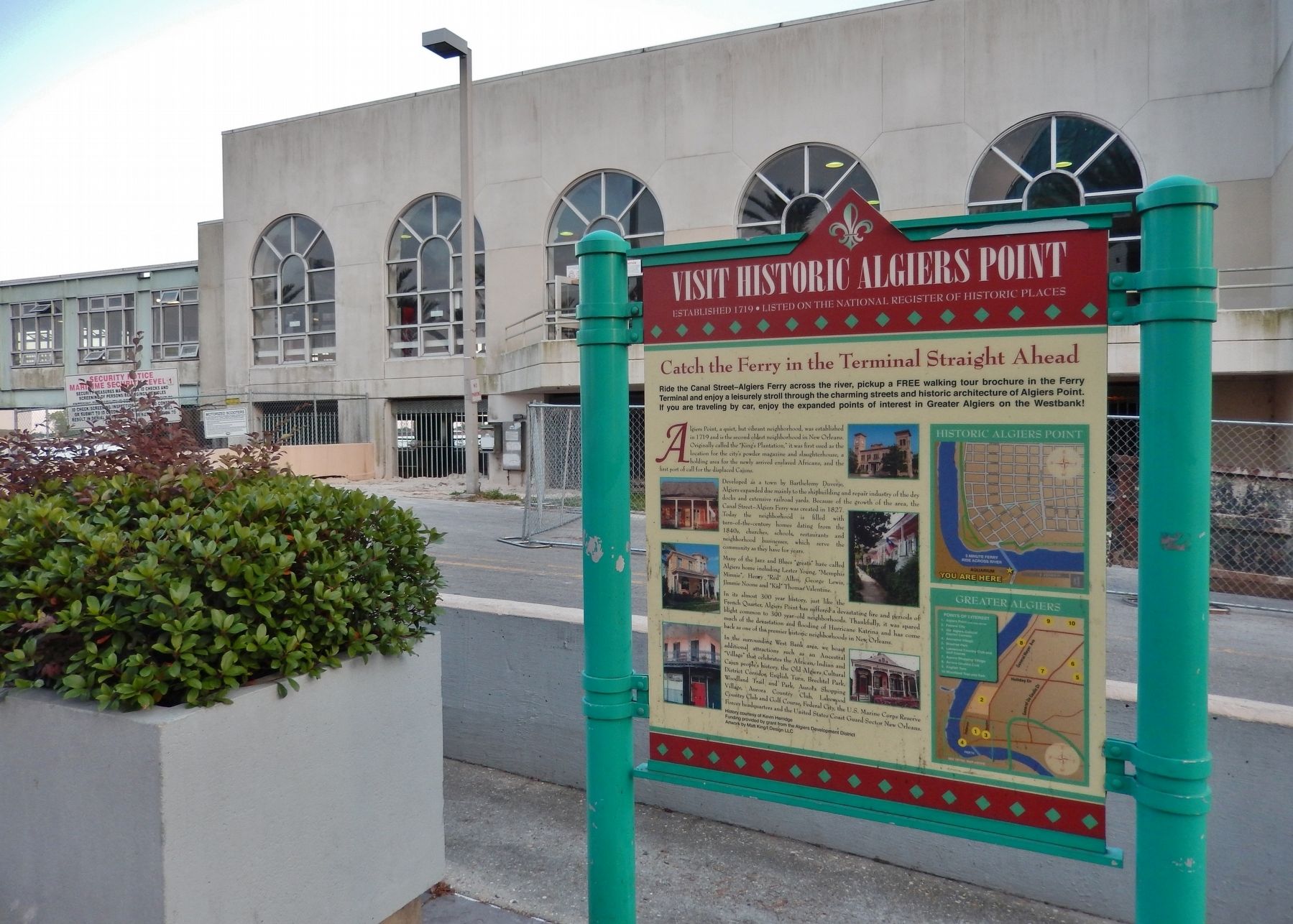
Visit Historic Algiers Point
Established 1719 • Listed on the National Register of Historic Places
Catch the Ferry in the Terminal Straight Ahead
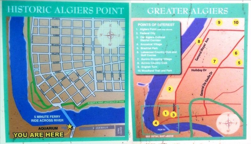
Ride the Canal Street—Algiers Ferry across the river, pickup a FREE walking tour brochure in the Ferry Terminal and enjoy a leisurely stroll through the charming streets and historic architecture of Algiers Point. If you are traveling by car, enjoy the expanded points of interest in Greater Algiers on the Westbank!
Algiers Point, a quiet, but vibrant neighborhood, was established in 1719 and is the second oldest neighborhood in New Orleans. Originally called the "King's Plantation," it was first used as the location for the city's powder magazine and slaughterhouse, a holding area for the newly arrived enslaved Africans, and the first port of call for the displaced Cajuns.
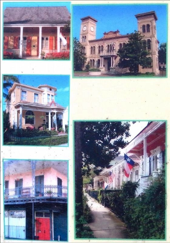
Developed as a town by Barthelemy Duverje, Algiers expanded due mainly to the shipbuilding and repair industry of the dry docks and extensive railroad yards. Because of the growth of the area, the Canal Street—Algiers Ferry was created in 1827. Today the neighborhood is filled with turn-of-the-century homes dating from the 1840s, churches, schools, restaurants and neighborhood businesses, which serve the community as they have for years.
Many of the Jazz and Blues "greats" have called Algiers home including Lester Young, "Memphis Minnie", Henry "Re'd" Allen, George Lewis, Jimmie Noone and "Kid" Thomas Valentine.
In its almost 300 year history, just like the French Quarter, Algiers Point has suffered a devastating fire and periods of blight common to 360 year-old neighborhoods. Thankfully, it was spared much of the devastation and flooding of Hurricane Katrina and has come hack as one of the premier historic neighborhoods in New Orleans.
In the surrounding West Bank area, we boast additional attractions such as an Ancestral "Village" that celebrates the African, Indian and Cajun, people's history, the Old Algiers Cultural District Corridor, English Turn, Brechtel Park, Woodland Trail and Park, Aurora Shopping Village, Aurora Country Club, Lakewood Country Club and Golf Course, Federal City, the U.S. Marine Corps Reserve Forces headquarters and the United Stales Coast Guard Sector New Orleans.
History courtesy of Kevin Herridge.
Funding provided by grant from the Algiers Development District
Artwork by Matt King/I Design LLC
Topics. This historical marker is listed in these topic lists: African Americans • Colonial Era • Settlements & Settlers. A significant historical year for this entry is 1719.
Location. 29° 56.996′ N, 90° 3.78′ W. Marker is in New Orleans, Louisiana, in Orleans Parish. It is in the French Quarter. Marker is on Canal Street east of Badine Street East, on the left when traveling east. Marker is located on the Riverwalk Plaza midway between Badine Street and the Canal Street Ferry Terminal. Touch for map. Marker is at or near this postal address: 1 Canal Street, New Orleans LA 70130, United States of America. Touch for directions.
Other nearby markers. At least 8 other markers are within walking distance of this marker. Gálvez Monument (within shouting distance of this marker); Canal Street Historic District (approx. ¼ mile away); United States Customhouse (approx. ¼ mile away); Bienville's Plantation (approx. ¼ mile away); 114 Magazine Street (approx. ¼ mile away); Bank’s Arcade (approx. 0.3 miles away); 700 South Peters (approx. 0.3 miles away); Bienville Monument (approx. 0.3 miles away). Touch for a list and map of all markers in New Orleans.
Also see . . .
1. Algiers Point. Algiers Point is a location on the Lower Mississippi River in New Orleans, Louisiana. In river pilotage, Algiers Point is simply one of the many points of land around which the river flows—albeit a significant one. The course of the Mississippi River past and through New Orleans is in the shape of a crescent. As the river reaches the downriver end of that crescent, flowing by then in a northerly direction, it makes a sharp "right-hand" turn to the east. The French Quarter, Faubourg Marigny and Bywater lie on the outside of the bend on the river's left descending bank. The point of land on the river's right descending bank is, and has historically been, called Algiers Point. (Submitted on August 24, 2018, by Cosmos Mariner of Cape Canaveral, Florida.)
2. The History of Algiers. Originally owned by Bienville as part of the "King’s Plantation," that stretched from Plaquemines to Donaldsonville and then to Natchez. It would be the site of the pens that held the enslaved Africans, that were rested, cleaned up, and ferried across the river to the French Quarter, where they would be sold into a lifetime of slavery either locally or up and down the length of the river to the new French landowners. The First Settlers were the French, and later the Spanish, who cleared the land with the help of the slaves. Later immigrant groups were "les Americains" from the eastern seaboard after the 1803 Louisiana Purchase. Then came the Germans, the Irish, the Italians and Sicilians, and other smaller European groups of immigrants. (Submitted on August 24, 2018, by Cosmos Mariner of Cape Canaveral, Florida.)
Credits. This page was last revised on February 12, 2023. It was originally submitted on August 24, 2018, by Cosmos Mariner of Cape Canaveral, Florida. This page has been viewed 706 times since then and 135 times this year. Photos: 1, 2, 3, 4, 5. submitted on August 24, 2018, by Cosmos Mariner of Cape Canaveral, Florida. • Bernard Fisher was the editor who published this page.
