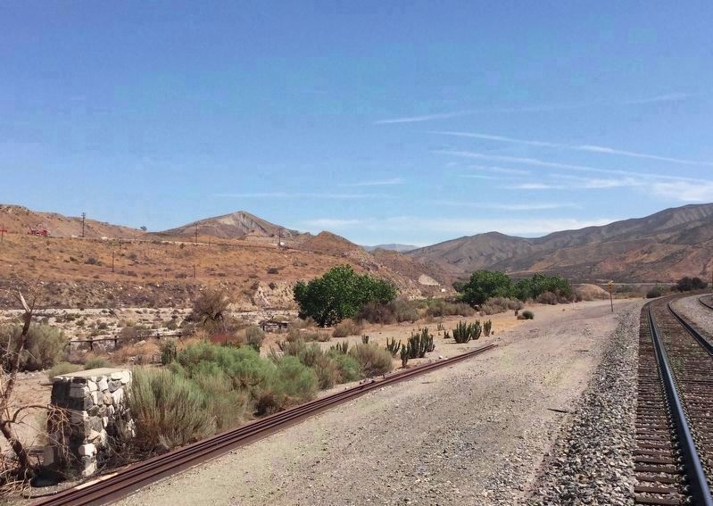
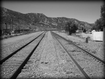
Canyon Country near Santa Clarita in Los Angeles County, California — The American West (Pacific Coastal)
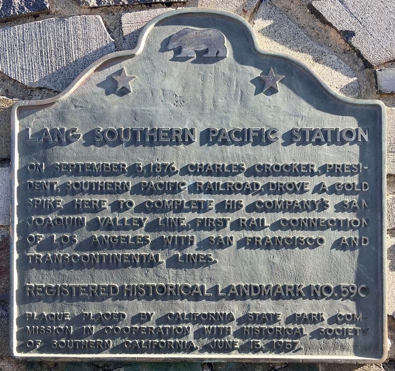
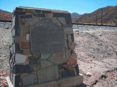
Lang Southern Pacific Station
Erected 1957 by California State Parks Commission and The Historical Society of Southern California. (Marker Number 590.)
Topics and series. This historical marker is listed in these topic lists: Notable Events • Railroads & Streetcars. In addition, it is included in the California Historical Landmarks, and the Southern Pacific Railroad series lists. A significant historical date for this entry is September 5, 1876.
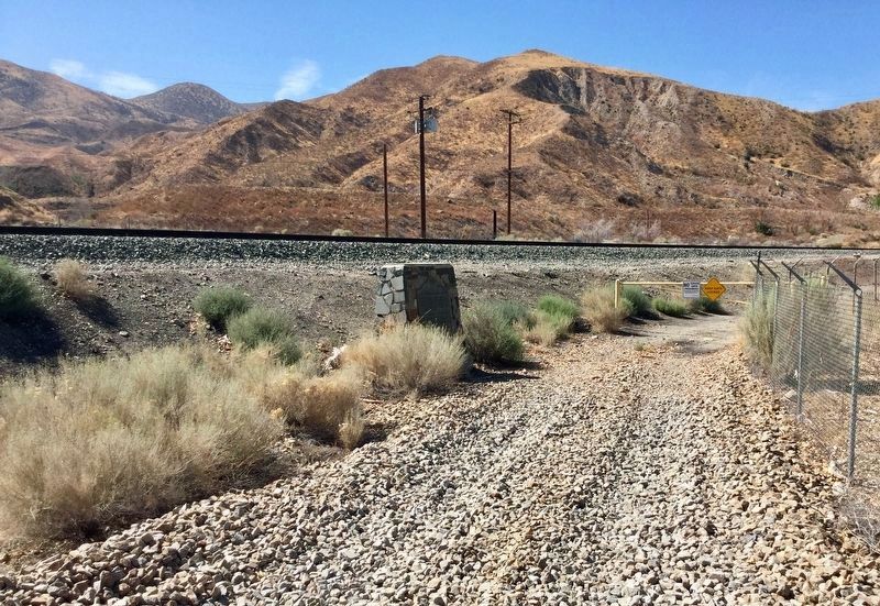
Location. 34° 25.869′ N, 118° 22.733′ W. Marker is near Santa Clarita, California, in Los Angeles County. It is in Canyon Country. Marker is on Lang Station Road, 0.2 miles south of Soledad Canyon Road, on the right when traveling south. Marker is just before the railroad tracks on right side of the road. Touch for map. Marker is at or near this postal address: 14000 Lang Station Rd, Santa Clarita CA 91390, United States of America. Touch for directions.
Other nearby markers. At least 8 other markers are within 7 miles of this marker, measured as the crow flies. Lang Station (approx. 3.4 miles away); Chinese Railroad Workers (approx. 3.4 miles away); In Honor of All Chinese Railroad Workers (approx. 3.4 miles away); Toney Residence (approx. 5.2 miles away); Walker Ranch (approx. 5.4 miles away); White Oil Seep (approx. 5.6 miles away); The Walker Cabin (approx. 6.3 miles away); Oil in Placerita Canyon (approx. 6.4 miles away). Touch for a list and map of all markers in Santa Clarita.
Also see . . .
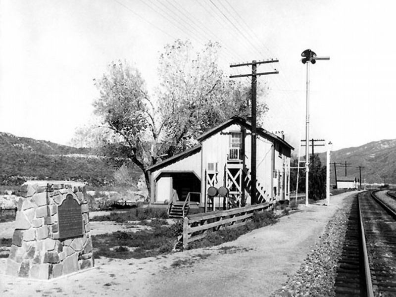
1. Santa Clarita Valley Historical Society. The Historical Society's website offers links to additional information and vintage photos of the station, the town, and the people of Lang. (Submitted on May 13, 2010.)
2. The Story of the Golden Spike. Former Governor, Leland Stanford, and Charles Crocker, who had supervised the building of the railroad from California eastward, and who was president of a newly acquired subsidiary, the Southern Pacific Railroad and another former governor, John G. Downey, a leading citizen of Los Angeles, worked out a deal for the Southern Pacific to build a line out of Los Angeles, to join with the Southern Pacific line then being built southward through the San Joaquin valley, connecting with the Central Pacific main line near Stockton. (Submitted on May 13, 2010.)
3. Lang Station Landmark Plaque. Article from the Santa Clarita Valley History website on this marker and the town of Lang. Excerpt:
The location was already known as "Lang," as it was the place where homesteader John Lang had built a hotel in 1871 where health-conscious patrons could enjoy his hot, sulfurous springs (ergo, Sulphur Springs).(Submitted on September 7, 2019.)
4. Southern Pacific Railroad: Driving the last golden spike at Lang Southern Pacific Station.
"Lang Station" is a local colloquialism for the "wedding of the rails" that joined Los Angeles and San Francisco. It was a watershed event in California history, putting Los Angeles on the (railroad) map of the United States. Train tracks laid north out of Los Angeles and south out of San Francisco met on John Lang's homestead in Soledad Canyon and culminated in a "golden spike" ceremony on September 5, 1876, similar to the more famous golden spike ceremony in Utah that marked the completion of the Transcontinental Railroad in 1869. Now, in 1876, Los Angeles had a direct link to the Transcontinental Railroad and was transformed from an isolated, politically impotent and sparsely populated outpost into a budding metropolis that would eclipse San Francisco in population and industry."(Submitted on April 15, 2024, by Robert Schwemmer of Santa Clarita, California.)
SCVHistory.com
Credits. This page was last revised on April 15, 2024. It was originally submitted on May 13, 2010, by Konrad R Summers of Santa Clarita, California. This page has been viewed 4,027 times since then and 116 times this year. Last updated on August 24, 2018, by Craig Baker of Sylmar, California. It was the Marker of the Week September 8, 2019. Photos: 1. submitted on January 26, 2022, by Craig Baker of Sylmar, California. 2. submitted on May 13, 2010, by Konrad R Summers of Santa Clarita, California. 3, 4, 5. submitted on August 24, 2018, by Craig Baker of Sylmar, California. 6. submitted on May 13, 2010, by Konrad R Summers of Santa Clarita, California. • Andrew Ruppenstein was the editor who published this page.
