
Long Beach in Harrison County, Mississippi — The American South (East South Central)
Hurricane Katrina
⎯⎯⎯
Storm Recovery
Photographed by Mark Hilton, August 23, 2018
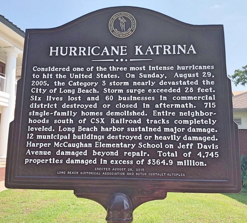
1. Hurricane Katrina Marker
Considered one of the three most intense hurricanes to hit the United States. On Sunday, August 29, 2005, the Category 3 storm nearly devastated the City of Long Beach. Storm surge exceeded 28 feet. Six lives lost and 60 businesses in commercial district destroyed or closed in aftermath. 715 single-family homes demolished. Entire neighborhoods south of CSX Railroad tracks completely leveled. Long Beach harbor sustained major damage. 12 municipal buildings destroyed or heavily damaged Harper McCaughan Elementary School on Jeff Davis Avenue damaged beyond repair. Total of 4,745 properties damaged in excess of $364.9 million.
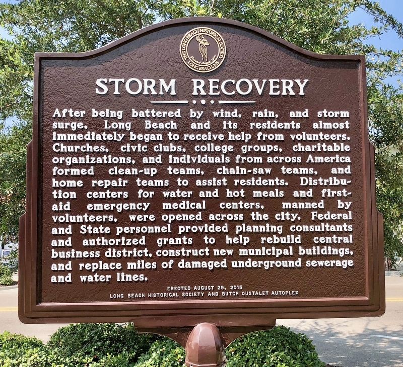
After being battered by wind, rain, and storm surge, Long Beach and its residents almost immediately began to receive help from volunteers. Churches, civic clubs, college groups, charitable organizations, and Individuals from across America formed clean-up teams, chain-saw teams, and home repair teams to assist residents. Distribution centers for water and hot meals and first-aid emergency medical centers, manned by volunteers, were opened across the city.
this page online
Erected 2015 by Long Beach Historical Society and Butch Oustalet Autoplex.
Topics. This historical marker is listed in these topic lists: Disasters • Education • Waterways & Vessels. A significant historical date for this entry is August 29, 2005.
Location. 30° 20.944′ N, 89° 9.021′ W. Marker is in Long Beach, Mississippi, in Harrison County. It is on Jeff Davis Avenue north of East 3rd Street, on the right when traveling north. Located near the Long Beach City Library. Touch for map. Marker is at or near this postal address: 209 Jeff Davis Avenue, Long Beach MS 39560, United States of America. Touch for directions.

Regionally, this marker is in the American South, specifically in the Deep South, and on the Gulf Coast. Globally, it is in North America, a Gulf of Mexico state, the Western Hemisphere, the Western World, and the Anglosphere. Historically, it finds itself in what was once New Spain, the
Photographed by Mark Hilton, August 23, 2018
2. Storm Recovery Marker
Other nearby markers. At least 8 other markers are within walking distance of this marker: City of Long Beach Centennial 1905-2005 (within shouting distance of this marker); Long Beach Schools (within shouting distance of this marker); Early Bank and Post Office (within shouting distance of this marker); Long Beach Presbyterian Church (about 600 feet away, measured in a direct line); Long Beach World War II Monument (approx. 0.2 miles away); War Memorial Park (approx. 0.2 miles away); First Baptist Church Original Site (approx. 0.2 miles away); United Methodist Church (approx. 0.2 miles away). Touch for a list and map of all markers in Long Beach.
Photographed by Mark Hilton, August 23, 2018
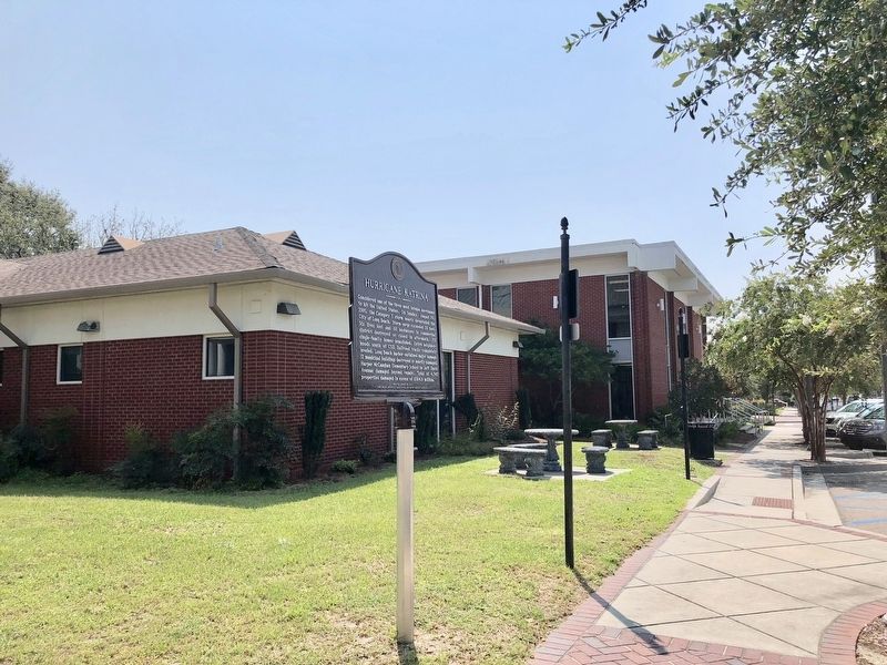
3. Hurricane Katrina / Storm Recovery Marker near the City Library.
Photographed by Mark Hilton, August 23, 2018
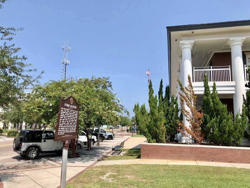
4. Looking north on Jeff Davis Avenue with City Hall on right.
Credits. This page was last revised on October 2, 2020. It was originally submitted on August 24, 2018, by Mark Hilton of Montgomery, Alabama. This page has been viewed 747 times since then and 60 times this year. Photos: 1, 2, 3, 4. submitted on August 24, 2018, by Mark Hilton of Montgomery, Alabama.
