Near Eureka in St. Louis County, Missouri — The American Midwest (Upper Plains)
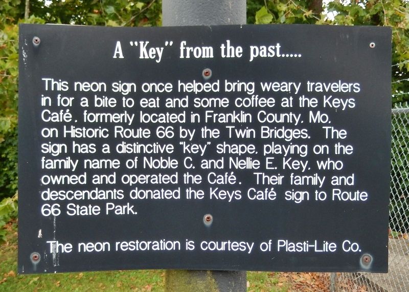
A "Key" from the past…
Photographed by Cosmos Mariner, September 13, 2017
1. A "Key" from the past Marker
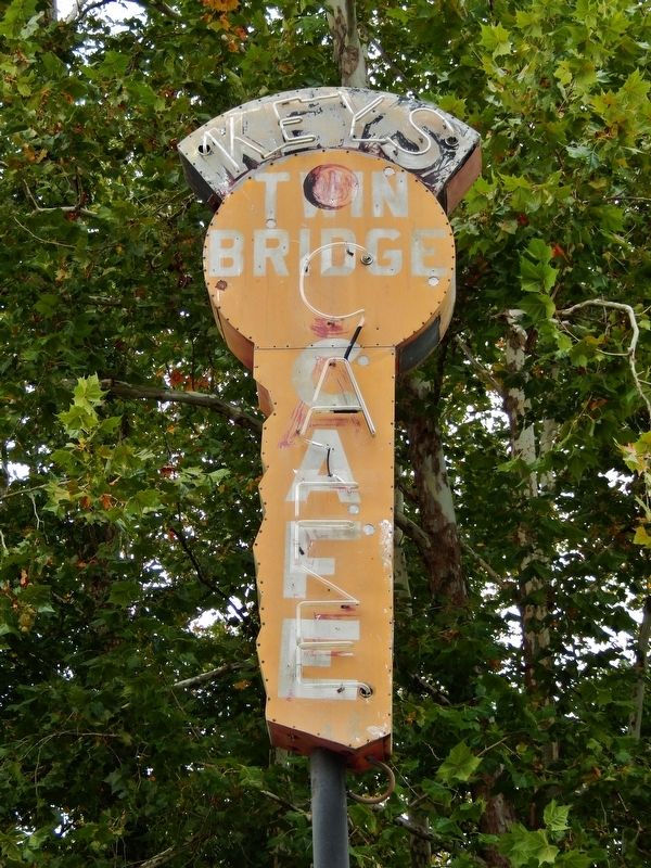
This neon sign once helped bring weary travelers in for a bite to eat and some coffee at the Keys Café, formerly located in Franklin County, MO, on Historic Route 66 by the Twin Bridges. The sign has a distinctive "key" shape, playing on the family name of Noble C. and Nellie E. Key, who owned and operated the Café. Their family and descendants donated the Keys Café sign to Route 66 State Park.
Erected by Missouri Route 66 State Park.
Topics and series. This historical marker is listed in these topic lists: Industry & Commerce • Roads & Vehicles. In addition, it is included in the U.S. Route 66 series list.
Location. 38° 30.349′ N, 90° 35.433′ W. Marker is near Eureka, Missouri, in St. Louis County. It can be reached from the intersection of Lewis Road and North Outer Road East. Marker is located outside Missouri's Route 66 State Park Visitor Center, near the northeast corner of the building. Access to North Outer Road and the Visitor Center is from exit 266 off Interstate 44 (US Highway 50). Touch for map.
this page online

Regionally, this marker is in Greater St. Louis. It is also in the American Midwest, in the Lewis & Clark Corridor, in the Corn Belt, and in the Great River Road Region. Globally, it is in North America, the Western Hemisphere, the Western World, and the Anglosphere. Historically, it finds itself in what was once the Viceroyalty of New France, the territory of the Mississippian Culture, the Louisiana Purchase, and the Antebellum South.
Other nearby markers. At least 8 other markers are within 4 miles of this marker, measured as the crow flies: A Route to the Past, a Bridge to the Future (within shouting distance of this marker); The Restoration of the Route 66 Bridge (within shouting distance of this marker); Meramec Greenway - Flat Creek Trail at Kircher Park (approx. 1.3 miles away); Eureka's First Fire Station (approx. 2.1 miles away); Eureka High School (approx. 2.1 miles away); Meramec Greenway - Flat Creek Trail at Lions Park (approx. 2.2 miles away); In Honor of all Eureka Residents who Served Their Country
Photographed by Cosmos Mariner, September 13, 2017
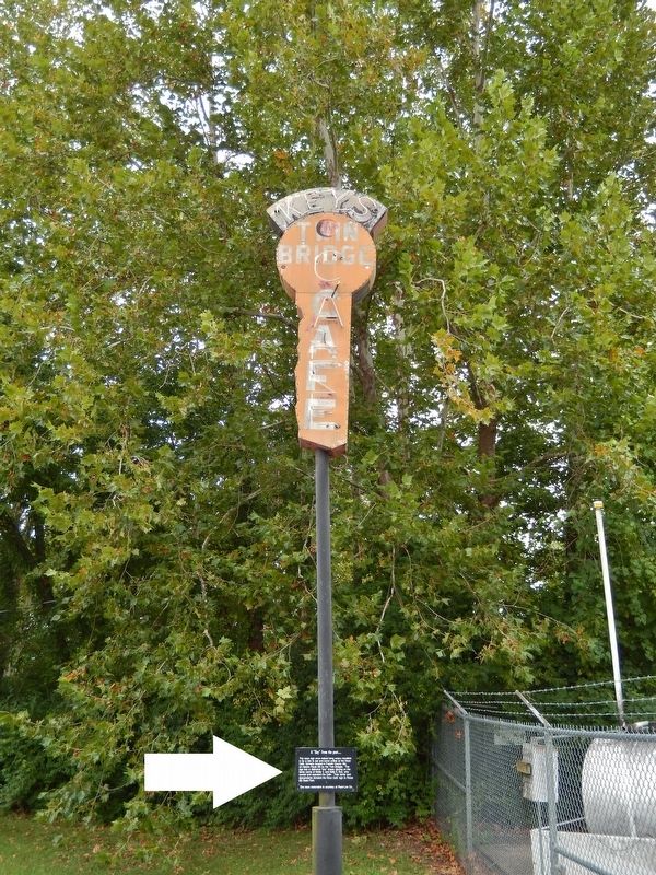
2. A "Key" from the past Marker (tall view; marker is mounted at eye-level on pole)
Photographed by Cosmos Mariner, September 13, 2017
3. Keys Cafe Neon Sign
The Route 66 website entry
Click for more information.
Click for more information.
Photographed by Cosmos Mariner, September 13, 2017
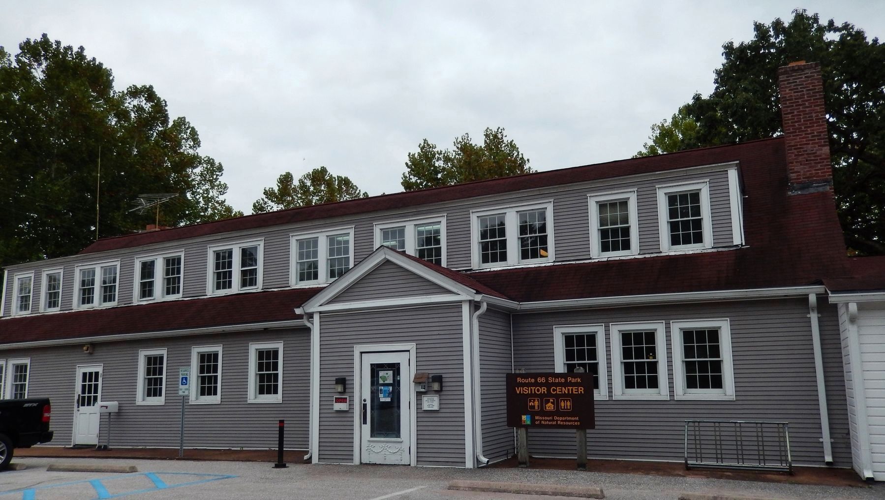
4. Route 66 State Park Visitor Center (wide view; marker is located near east end of building)
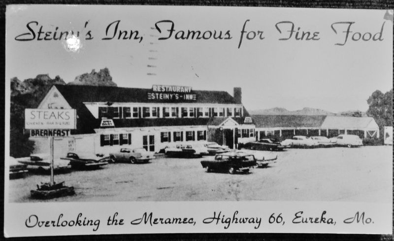
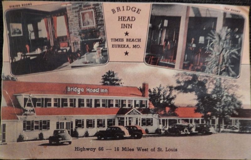
Visitor Center is located in historic building that was formerly the Steins Inn & also the Bridge Head Inn.
Photographed by Cosmos Mariner, September 13, 2017
5. Steins Inn Post Card (on display inside visitor center)
Photographed by Cosmos Mariner, September 13, 2017
6. Bridge Head Inn Post Card (on display inside visitor center)
Credits. This page was last revised on June 6, 2022. It was originally submitted on August 24, 2018, by Cosmos Mariner of Cape Canaveral, Florida. This page has been viewed 821 times since then and 58 times this year. Photos: 1, 2, 3, 4, 5, 6. submitted on August 25, 2018, by Cosmos Mariner of Cape Canaveral, Florida. • Bill Pfingsten was the editor who published this page.
