
Hamilton in Butler County, Ohio — The American Midwest (Great Lakes)
The Miami Canal
Photographed by Rev. Ronald Irick, August 21, 2018
1. The Miami Canal Marker
Side A
Side A
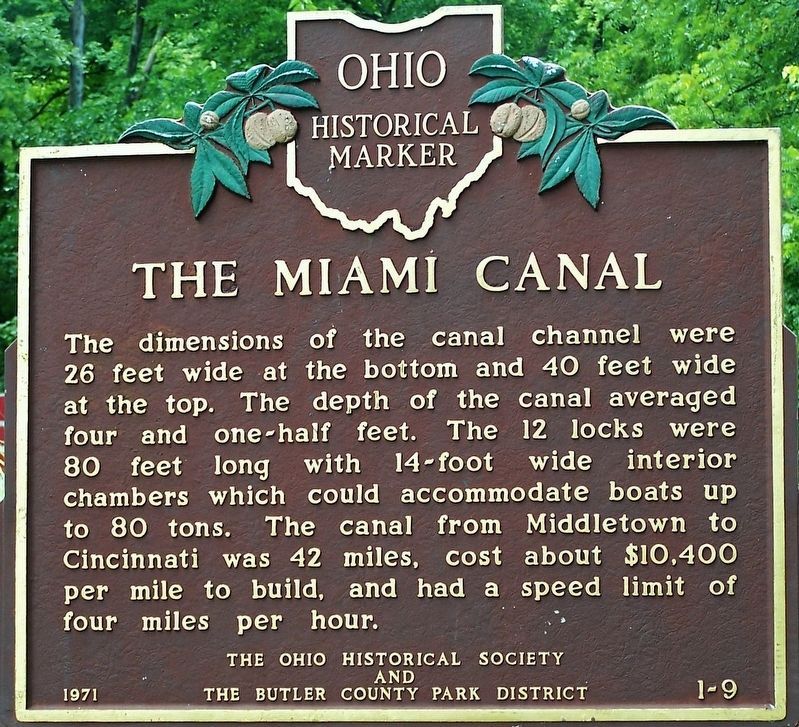
The dimensions of the canal channel were 26 feet wide at the bottom and 40 feet wide at the top. The depth of the canal averaged four and one-half feet. The 12 locks were 80 feet long with 14-foot wide interior chambers which could accommodate boats up to 80 tons. The canal from Middletown to Cincinnati was 42 miles, cost about $10,400 per mile to build, and had a speed limit of four miles per hour.
Side B
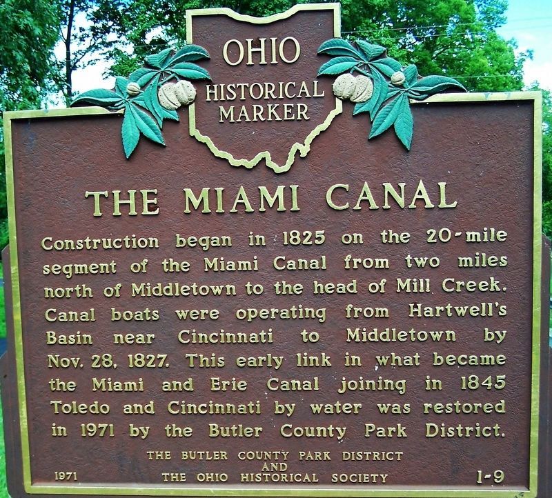
Construction began in 1825 on the 20-mile segment of the Miami Canal from two miles north of Middletown to the head of Mill Creek. Canal boats were operating from Hartwell's Basin near Cincinnati to Middletown by Nov. 28, 1827. This early link in what became the Miami and Erie Canal joining in 1845 Toledo and Cincinnati by water was restored in 1971 by the Butler County Park district.
Erected 1971 by The Butler County Park District, The Ohio Historical Society. (Marker Number 1-9.)
Topics and series. This historical marker is listed in this topic list: Waterways & Vessels. In addition, it is included in the Ohio Historical Society / The Ohio History Connection series list.
Location. 39° 25.295′ N,
this page online

Regionally, this marker is in Greater Cincinnati and in the Miami Valley. It is also in the American Midwest. Globally, it is in North America, the Western Hemisphere, the Western World, and the Anglosphere. Historically, it finds itself in what was once the Haudenosaunee (Iroquois) Confederacy, the territory of the Mississippian Culture, and the Northwest Territory.
Other nearby markers. At least 8 other markers are within 3 miles of this marker, measured as the crow flies: Welcome to Rentschler Forest MetroPark (a few steps from this marker); Walter A. Rentschler (about 600 feet away, measured in a direct line); Hamilton Civil War Memorial (approx. 2½ miles away); "Flags for the Fallen" (approx. 2½ miles away); Butler County's First Green Restroom (approx. 2.6 miles away); Sanitary Outhouse (approx.
Photographed by Rev. Ronald Irick, August 21, 2018
2. The Miami Canal Marker
Side B
Additional commentary.
1. Lock Size Description
The lock dimensions stated on the marker sign are incorrect. The specified size for all locks in Ohio's Canal Systems is 90 feet long by 15 feet wide inside the lock chamber. Boat dimensions were typically 85 feet bow to stern with a 14 1/2 feet beam. —Dave Gschwind, Trustee, Canal Society of Ohio
— Submitted October 18, 2024, by David Gschwind of West Chester, Ohio.
Photographed by Rev. Ronald Irick, August 21, 2018
3. The Miami Canal Marker
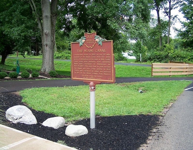
Full view of marker
Photographed by Rev. Ronald Irick, August 21, 2018
4. The Miami Canal Marker
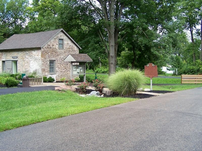
Marker with the Old Stone House. The Great Miami River is in the background, the photographer is standing near the canal bed.
Credits. This page was last revised on January 1, 2026. It was originally submitted on August 25, 2018, by Rev. Ronald Irick of West Liberty, Ohio. This page has been viewed 637 times since then and 45 times this year. Photos: 1, 2, 3, 4. submitted on August 25, 2018, by Rev. Ronald Irick of West Liberty, Ohio. • Andrew Ruppenstein was the editor who published this page.
