Gulf Shores in Baldwin County, Alabama — The American South (East South Central)
Navy Cove / Pilot Town
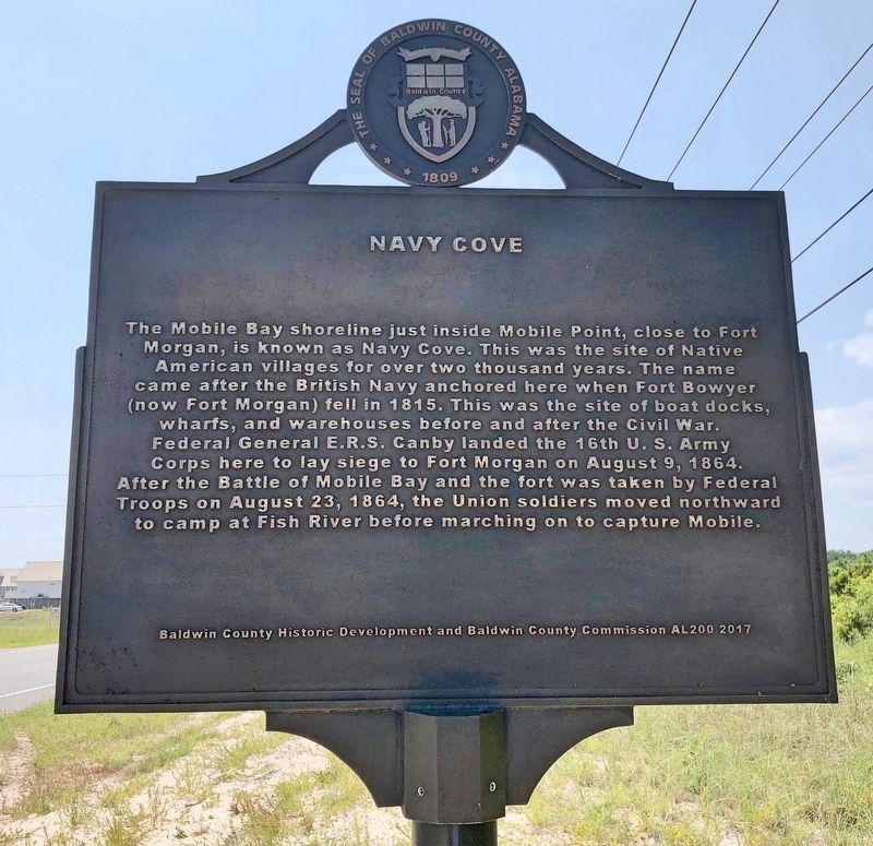
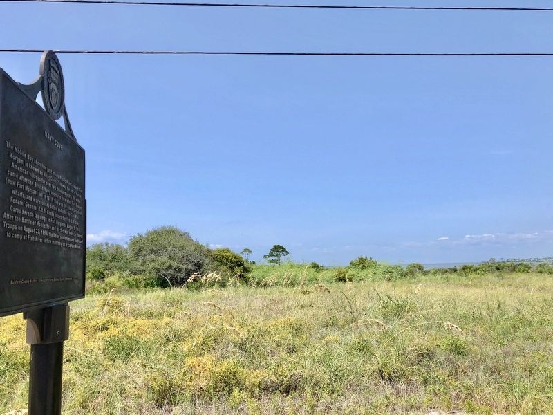
The Mobile Bay shoreline just inside Mobile Point, close to Fort Morgan, is known as Navy Cove. This was the site of Native American villages for over two thousand years. The name came after the British Navy anchored here when Fort Bowyer (now Fort Morgan) fell in 1815. This was the site of boat docks, wharfs, and warehouses before and after the Civil War. Federal General E.R.S. Canby landed the 16th U. S. Army Corps here to lay siege to Fort Morgan on August 9, 1864. After the Battle of Mobile Bay and the fort was taken by Federal Troops on August 23, 1864, the Union soldiers moved northward to camp at Fish River before marching on to capture Mobile.
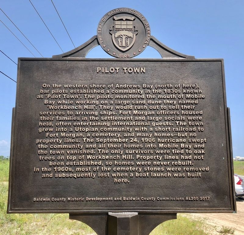
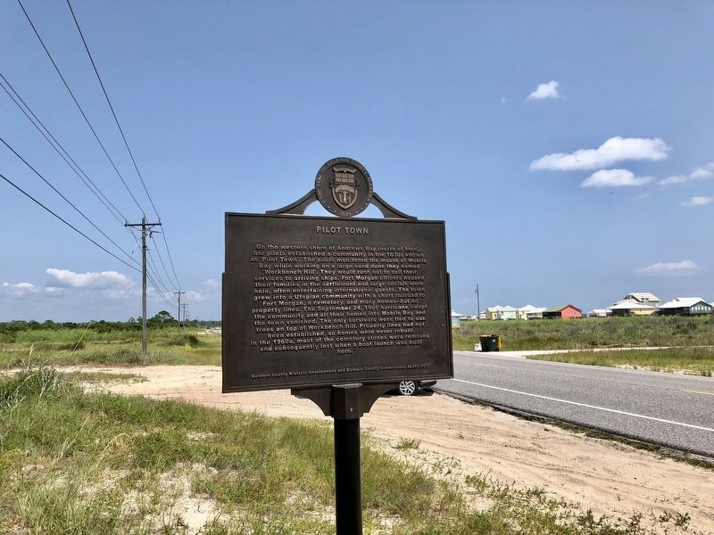
On the western shore of Andrews Bay (north of here), bar pilots established a community in the 1830s known as 'Pilot Town'. The pilots monitored the mouth of Mobile Bay while working on a large sand dune they named 'Workbench Hill'. They would rush out to sell their services to arriving ships Fort Morgan officers housed their families in the settlement and large socials were held, often entertaining international guests. The town grew into a Utopian community with a short railroad to Fort Morgan, a cemetery, and many homes but no property lines. The September 24, 1906 hurricane swept the community and all their homes into Mobile Bay and the town vanished. The only survivors were tied to oak trees on top of Workbench Hill. Property lines had not been established so homes were never rebuilt. In the 1960s, most of the cemetery stones were removed and subsequently lost when a boat launch was built here.
Erected 2017 by Baldwin County Historic Development and Baldwin County Commission AL200.
Topics. This historical marker is listed in these topic lists: Forts and Castles • Settlements & Settlers • War, US Civil • Waterways & Vessels. A significant historical date for this entry is August 9, 1864.
Location. 30° 13.975′ N, 87° 57.731′ W. Marker is in Gulf Shores, Alabama, in Baldwin County. Marker is on Fort Morgan Road (Alabama Route 180) west of Pontoon Lane, on the right when traveling west. Touch for map. Marker is at or near this postal address: 3454 Fort Morgan Road, Gulf Shores AL 36542, United States of America. Touch for directions.
Other nearby markers. At least 8 other markers are within 4 miles of this marker, measured as the crow flies. Battery Dearborn (1900-1924) (approx. 3 miles away); Peace Magazine (1902-1924) (approx. 3.1 miles away); Post Hospital Complex (approx. 3.1 miles away); "Damn The Torpedoes!" The Campaigns for Mobile, 1864 - 1865 (approx. 3.1 miles away); Here ends the Alabama Scenic River Trail (approx. 3.2 miles away); Officer’s Row (approx. 3.4 miles away); The Battery Lincoln (approx. 3.4 miles away); "The Shells Were Bursting All Around Us" (approx. 3.4 miles away). Touch for a list and map of all markers in Gulf Shores.
Regarding Navy Cove / Pilot Town. Navy Cove got its name because pirates were so bad in the Gulf of Mexico, at one time, that England sent a fleet of ships or Navy to protect its commercial ships and kept these ships in the cove around Ft. Morgan so it became known as Navy Cove.
Credits. This page was last revised on August 25, 2018. It was originally submitted on August 25, 2018, by Mark Hilton of Montgomery, Alabama. This page has been viewed 2,227 times since then and 196 times this year. Photos: 1, 2, 3, 4. submitted on August 25, 2018, by Mark Hilton of Montgomery, Alabama.


