Orange Beach in Baldwin County, Alabama — The American South (East South Central)
Perdido Pass
Photographed by Mark Hilton, August 22, 2018
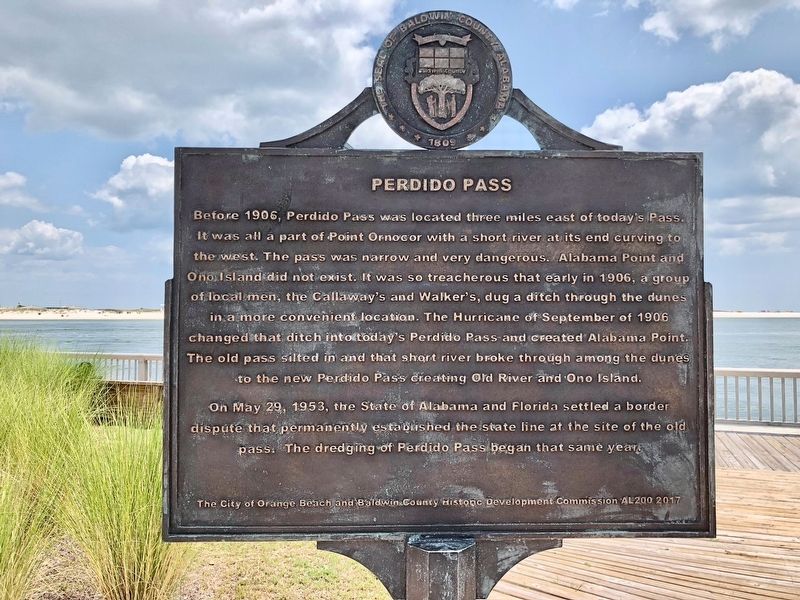
1. Perdido Pass Marker
On May 29, 1953, the State of Alabama and Florida settled a border dispute that permanently established the state line at the site of the old pass: The dredging of Perdido Pass began that same year.
Reverse
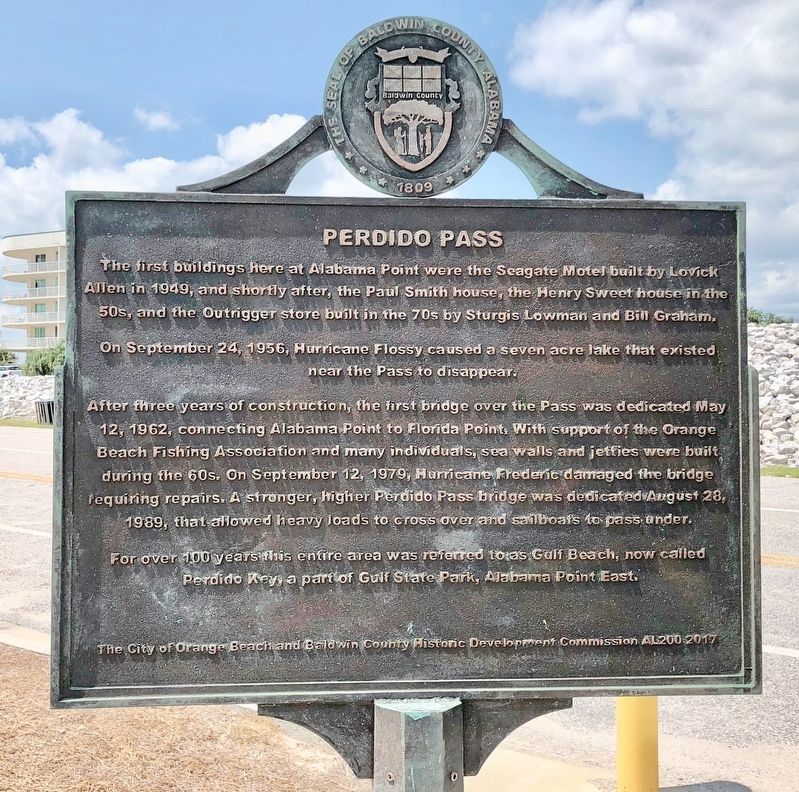
The first buildings here at Alabama Point were the Seagate Motel built by Lovick Allen in 1949, and shortly after, the Paul Smith house, the Henry Sweet house in the 50s, and the Outrigger store built in the 70s by Sturgis Lowman and Bill Graham.
On September
this page online
After three years of construction, the first bridge over the Pass was dedicated May 12, 1962, connecting Alabama Point to Florida Point. With support of the Orange Beach Fishing Association and many individuals, sea walls and jetties were built during the 60s. On September 12, 1979, Hurricane Frederic damaged the bridge requiring repairs. A stronger, higher Perdido Pass bridge was dedicated August 28, 1989, that allowed heavy loads to cross over and sailboats to pass under.
For over 100 years this entire area was referred to as Gulf Beach, now called Perdido Key, part of Gulf State Park, Alabama Point East.
Erected 2017 by The City of Orange Beach and Baldwin County Historic Development Commission AL200.
Topics. This historical marker is listed in these topic lists: Disasters • Waterways & Vessels. A significant historical year for this entry is 1903.
Location. 30° 16.641′ N, 87° 33.315′ W. Marker is in Orange Beach, Alabama, in Baldwin County. It is on Perdido Beach Boulevard (Alabama Route 182) east of Parkway Drive,
Photographed by Mark Hilton, August 22, 2018
2. Perdido Pass Marker (reverse)

Regionally, this marker is on Alabama’s Gulf Coast and in the Mobile Bay area. It is also in the American South, specifically in the Deep South, and on the Gulf Coast. Globally, it is in North America, a Gulf of Mexico state, the Western Hemisphere, the Western World, and the Anglosphere. Historically, it finds itself in what was once New Spain, the Viceroyalty of New France, the territory of the Mississippian Culture, one of the Confederate States of America, and the Antebellum South.
Other nearby markers. At least 8 other markers are within 5 miles of this marker, measured as the crow flies: Bay Circle (approx. 1½ miles away); Hugh S. Branyon Backcountry Trail System (approx. 1.6 miles away); Orange Beach, Alabama (approx. 1.6 miles away); Orange Beach Municipal Complex (approx. 1.6 miles away); Tampary (approx. 2.2 miles away in Florida); Orange Beach Community Cemetery
Photographed by Mark Hilton, August 22, 2018
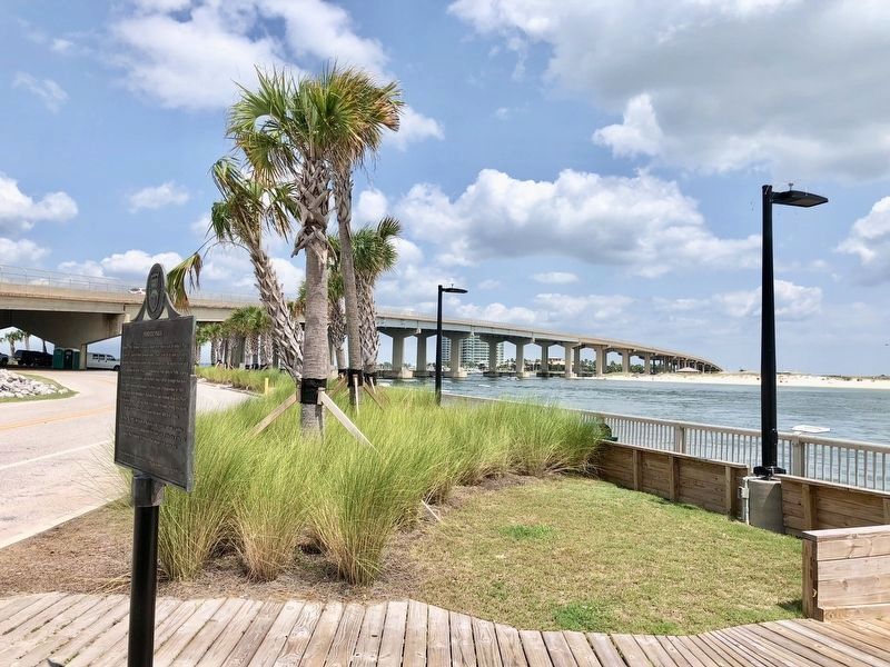
3. View of Perdido Pass under bridge and Alabama Point on other end of bridge.
Also see . . . Wikipedia article on the Perdido Pass. (Submitted on August 25, 2018, by Mark Hilton of Montgomery, Alabama.)
Photographed by Mark Hilton, August 22, 2018
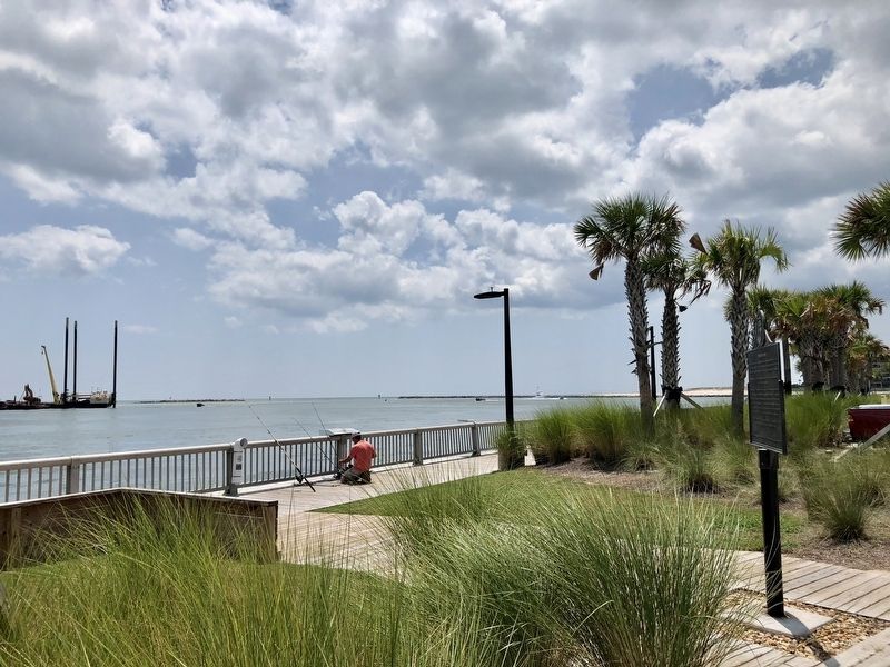
4. View from the marker towards the Gulf of Mexico.
Credits. This page was last revised on May 25, 2019. It was originally submitted on August 25, 2018, by Mark Hilton of Montgomery, Alabama. This page has been viewed 2,049 times since then and 215 times this year. Photos: 1, 2, 3, 4. submitted on August 25, 2018, by Mark Hilton of Montgomery, Alabama.
