
Occoquan in Prince William County, Virginia — The American South (Mid-Atlantic)
Town of Occoquan
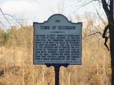
Photographed by J. J. Prats, February 18, 2006
1. Town of Occoquan Marker
Erected 1976 by Prince William County Historical Commission. (Marker Number 30.)
Topics and series. This historical marker is listed in these topic lists: Industry & Commerce • Settlements & Settlers • Waterways & Vessels. In addition, it is included in the Virginia, Prince William County Historical Commission series list. A significant historical year for this entry is 1804.
Location. 38° 41.139′ N, 77° 15.735′ W. Marker is in Occoquan, Virginia, in Prince William County. It is on Mill Street, on the right when traveling west. Marker is at the west end of Mill Street. Touch for map. Marker is in this post office area: Occoquan VA 22125, United States of America. Touch for directions.

Regionally,
this page online
Other nearby markers. At least 8 other markers are within walking distance of this marker: The Road to Yorktown (here, next to this marker); Historic Occoquan (here, next to this marker); Economic Development in Occoquan and its Dependence on Enslaved Peoples (here, next to this marker); Gearwheel Assembly (here, next to this marker); a different marker also named Historic Occoquan (here, next to this marker); Occoquan (a few steps from this marker); Ellicott’s Mill (a few steps from this marker); The Dogue Indians (a few steps from this marker). Touch for a list and map of all markers in Occoquan.
Also see . . .
1. Town Web Site.

National Park Service, Thomas Stone National Historic Site, June 4, 2019
2. Town of Occoquan Marker
Viewing north towards marker.
Note #1: The vegetation between the marker and the Occoquan River is substantially thicker than earlier images of the marker.
Note #2: The Mill House Museum is located about thirty feet to the left of the marker.
Note #1: The vegetation between the marker and the Occoquan River is substantially thicker than earlier images of the marker.
Note #2: The Mill House Museum is located about thirty feet to the left of the marker.
2. Mill House Museum, Government of Occoquan, Virginia. Museum is located about 30 feet east of the marker. (Submitted on September 21, 2019.)
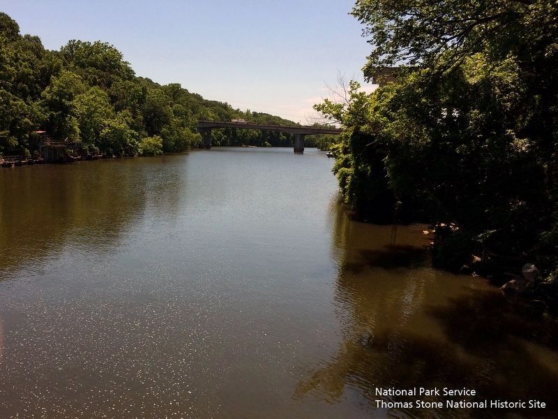
Photographed by David Lassman, June 4, 2019
3. Occoquan River
Viewing east from footbridge towards the river.
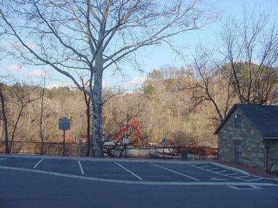
Photographed by J. J. Prats, February 18, 2006
4. Looking North Across the Occoquan
Merchants Mill Museum is the small building on the right.
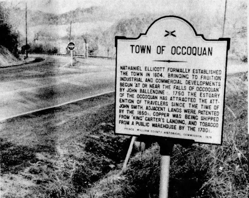
Photographed by Kevin W.
5. Town of Occoquan Marker
From the Potomac News, December 16, 1976.
Credits. This page was last revised on August 22, 2025. It was originally submitted on February 18, 2006, by J. J. Prats of Powell, Ohio. This page has been viewed 2,610 times since then and 42 times this year. Last updated on August 26, 2018, by Russ Blau of Fairfax, Virginia. Photos: 1. submitted on February 18, 2006, by J. J. Prats of Powell, Ohio. 2, 3. submitted on September 21, 2019. 4. submitted on February 18, 2006, by J. J. Prats of Powell, Ohio. 5. submitted on August 22, 2025, by Kevin W. of Stafford, Virginia. • Bill Pfingsten was the editor who published this page.
