Downtown Providence in Providence County, Rhode Island — The American Northeast (New England)
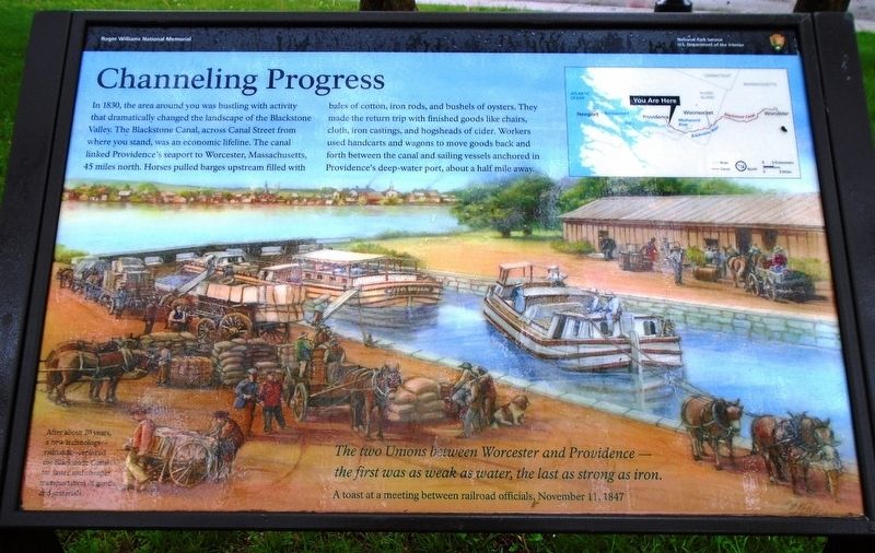
Channeling Progress
The two Unions between Worcester and Providence -
the first was as weak as water, the last as strong as iron.
A toast at a meeting between railroad officials, November 11, 1847
After about 20 years, a new technology-railroads-replaced the Blackstone Canal for faster and cheaper transportation of goods and materials.
Erected by National Park Service, U.S. Department of the Interior.
Topics. This historical marker is listed in these topic lists: Industry & Commerce • Railroads & Streetcars • Waterways & Vessels. A significant historical year for this entry is 1830.
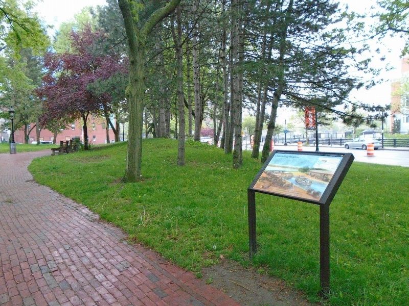
Location. 41° 49.761′ N, 71° 24.645′ W. Marker is in Providence, Rhode Island, in Providence County. It is in Downtown Providence. Marker is on Canal Street (U.S. 44) north of Park Row, on the left when traveling south. Touch for map. Marker is in this post office area: Providence RI 02903, United States of America. Touch for directions.
Other nearby markers. At least 8 other markers are within walking distance of this marker. Roger Williams National Memorial (within shouting distance of this marker); Aquene. Eniskeetompowaug. (within shouting distance of this marker); The Prophet of Religious Freedom (about 300 feet away, measured in a direct line); Realizing Providence (about 300 feet away); A Livelie Experiment (about 400 feet away); A Shelter for Persons Distressed (about 400 feet away); Roger Williams Founded Providence Here in 1636 (about 400 feet away); Site of Roger Williams House (about 500 feet away). Touch for a list and map of all markers in Providence.
Also see . . .
1. Blackstone Canal at Wikipedia. (Submitted on August 26, 2018, by William Fischer, Jr. of Scranton, Pennsylvania.)
2. Blackstone River Valley National Heritage Corridor. (Submitted on August 26, 2018, by William Fischer, Jr. of Scranton, Pennsylvania.)
Credits. This page was last revised on May 8, 2023. It was originally submitted on August 26, 2018, by William Fischer, Jr. of Scranton, Pennsylvania. This page has been viewed 177 times since then and 16 times this year. Photos: 1, 2. submitted on August 26, 2018, by William Fischer, Jr. of Scranton, Pennsylvania.

