Long Beach in Harrison County, Mississippi — The American South (East South Central)
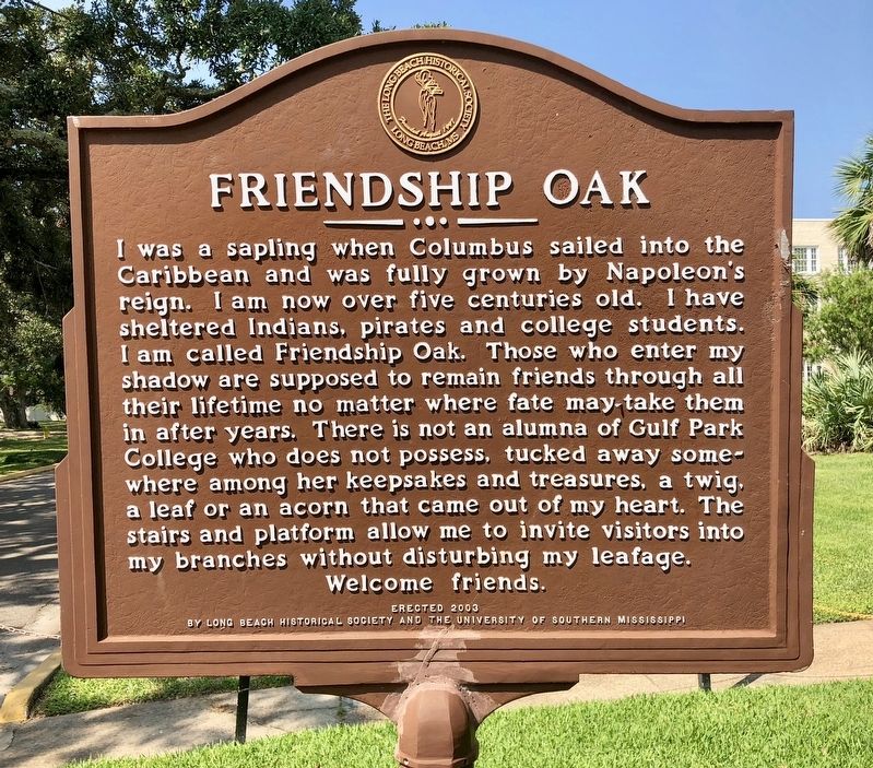
Friendship Oak
Photographed by Mark Hilton, August 23, 2018
1. Friendship Oak Marker
Erected 2003 by Long Beach Historical Society and the University of Southern Mississippi.
Topics. This historical marker is listed in this topic list: Natural Features.
Location. 30° 21.091′ N, 89° 8.167′ W. Marker is in Long Beach, Mississippi, in Harrison County. It is at the intersection of Avenue of the Oaks and Friendship Oak Circle, on the left when traveling east on Avenue of the Oaks. Located to right
this page online

Regionally, this marker is in the American South, specifically in the Deep South, and on the Gulf Coast. Globally, it is in North America, a Gulf of Mexico state, the Western Hemisphere, the Western World, and the Anglosphere. Historically, it finds itself in what was once New Spain, the Viceroyalty of New France, the territory of the Mississippian Culture, one of the Confederate States of America, and the Antebellum South.
Other nearby markers. At least 8 other markers are within walking distance of this marker: Gulf Park College (a few steps from this marker); a different marker also named "Friendship Oak" (within shouting distance of this marker); Administration Building (about 300 feet away, measured in a direct line); Bear Point Bayou (about 700 feet away); St. Thomas the Apostle Catholic Church (about 800 feet away); Early Long Beach (approx. 0.2 miles away); a different marker also named
Photographed by Mark Hilton, August 23, 2018
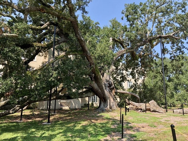
2. The Friendship Oak
Also see . . . Wikipedia article about the Friendship Oak. (Submitted on August 28, 2018, by Mark Hilton of Montgomery, Alabama.)
Photographed by Mark Hilton, August 23, 2018
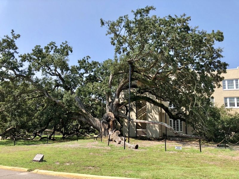
3. The Friendship Oak
Photographed by Mark Hilton, August 23, 2018
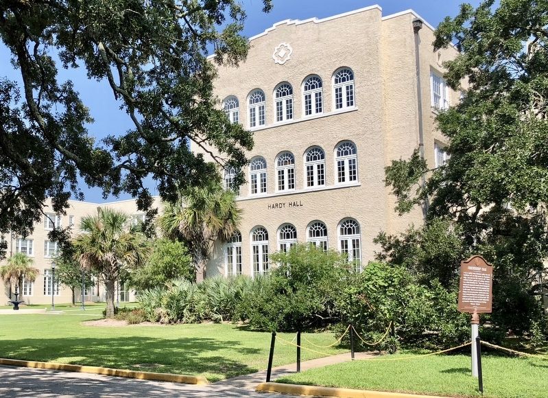
4. Marker next to Hardy Hall (Administration building) with Oak on extreme right.
Credits. This page was last revised on October 2, 2020. It was originally submitted on August 28, 2018, by Mark Hilton of Montgomery, Alabama. This page has been viewed 468 times since then and 39 times this year. Photos: 1, 2, 3, 4. submitted on August 28, 2018, by Mark Hilton of Montgomery, Alabama.
