Portsmouth, England, United Kingdom — Northwestern Europe (the British Isles)
The Hard
The Hard
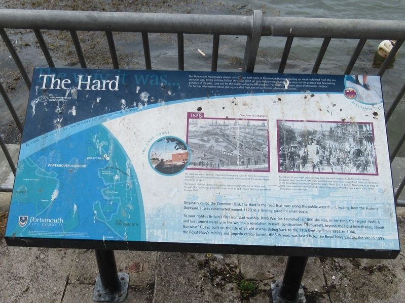
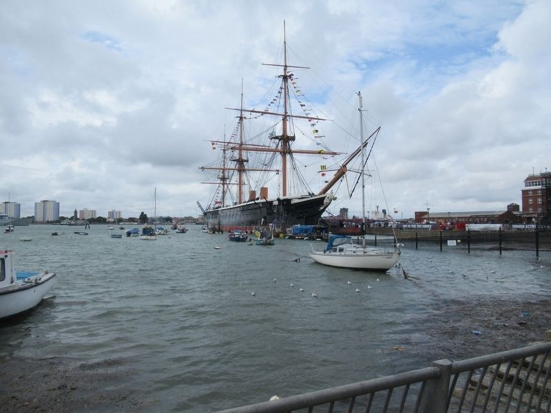
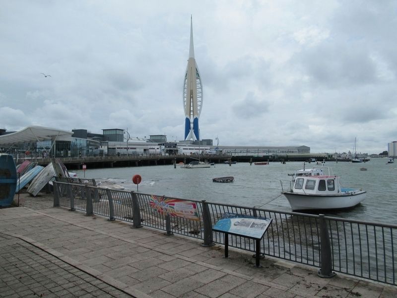
Originally called the Common Hard, The Hard is the road that runs along the public waterfront, leading from the Historic Dockyard. It was constructed around 1720 as a landing place for small boats. To your right is Britain’s first iron clad warship, HMS Warrior. Launched in 1860 she was, in her time, the largest fastest and best armed warship in the world — a revolution in naval construction. To your left, beyond the Hard Interchange, stands Gunwharf Quays, built on the site of an old arsenal dating back to the 17th Century. From 1923 to 1986, the Royal Navy’s mining and torpedo establishment, HMS Vernon, was based here. The Royal Navy vacated the site in 1995.
( photo caption )
The hard has always been an important embarkation point. In 1876 the railway was extended to Portsmouth Harbour Station pier which replaced the wooden Royal Albert Pier of 1847. Portsmouth Harbour Station still provides direct access to the Isle of Wight and Gosport. The station was almost destroyed in an air raid in April 1941 but was rebuilt by June 1946.
( photo caption )
Behind you to your right stands Victory Gate, the main entrance to Portsmouth’s Historic Dockyard. Here, for almost 500 years, warships have been built, repaired and fitted out for service in the Royal Navy. Portsmouth is still the largest Naval Base in Europe. Now home to an array of world class maritime attractions and historic ships, the Dockyard is now a world class visitor destination in its own right.
Topics. This historical marker is listed in these topic lists: Man-Made Features • Waterways & Vessels.
Location. 50° 47.908′ N, 1° 6.435′ W. Marker is in Portsmouth, England. Marker is at the intersection of Queen Street (England Route B2154) and Clock Street, on the left when traveling north on Queen Street. Touch for map. Marker is in this post office area: Portsmouth, England PO1 3PU, United Kingdom. Touch for directions.
Other nearby markers. At least 8 other markers are within walking distance of this marker. Mudlarks (here, next to this marker); The Ship Anson (within shouting distance of this marker); Hertha Ayrton (within shouting distance of this marker); The Porter’s Garden (within shouting distance of this marker); Captain Robert Falcon Scott (within shouting distance of this marker); The Jutland Gun (within shouting distance of this marker); Beware of the Wolf (about 90 meters away, measured in a direct line); The Figurehead (about 90 meters away). Touch for a list and map of all markers in Portsmouth.
Credits. This page was last revised on January 27, 2022. It was originally submitted on August 28, 2018, by Michael Herrick of Southbury, Connecticut. This page has been viewed 563 times since then and 126 times this year. Photos: 1, 2, 3. submitted on August 28, 2018, by Michael Herrick of Southbury, Connecticut.


