
Angeles National Forest in Los Angeles County, California — The American West (Pacific Coastal)
Mount Lowe Railway
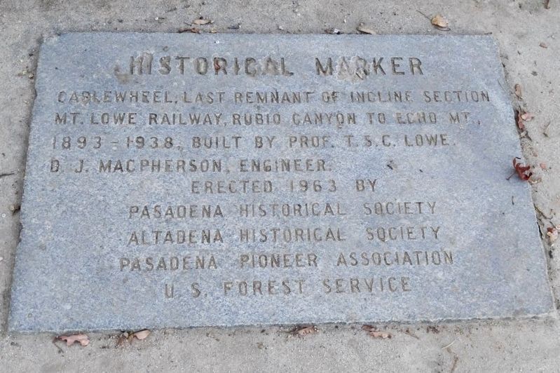
Historical Marker
2015
1. Mount Lowe Railway Marker
Erected 1963 by Pasadena Historical Society, Altadena Historical Society, Pasadena Pioneer Association, and U.S. Forest Service.
Topics. This historical marker is listed in these topic lists: Parks & Recreational Areas • Railroads & Streetcars.
Location. 34° 12.666′ N, 118° 7.251′ W. Marker is in Angeles National Forest, California, in Los Angeles County. It can be reached from Mount Lowe Railway Trail south of Sam Merrill Trail. Located on Echo Mountain. Hike three miles up a steep trail with a 1,500-foot altitude gain from the Cobb Estate trailhead. Touch for map. Marker is in this post office area: Altadena CA 91001, United States of America. Touch for directions.

Regionally, this marker is in Greater Los Angeles and in the Transverse Ranges. It is also on the American Pacific Coast. Globally, it is in North America, on the Ring of Fire, in the Pacific Rim, in the Western Hemisphere, in the Western World, and in the Anglosphere. Historically, it finds itself in what was once New Spain and
this page online
Other nearby markers. At least 8 other markers are within walking distance of this marker: Echo Mountain House (a few steps from this marker); Forces of Nature (a few steps from this marker); a different marker also named Echo Mountain House (a few steps from this marker); Stairway To The Sky (within shouting distance of this marker); Caretaker’s Cottage and Cable House (within shouting distance of this marker); Echo Phone (within shouting distance of this marker); Mount Lowe Power Plants (about 400 feet away, measured in a direct line); Casino, Tennis Courts, Power Plants, and Car Barn (about 400 feet away). Touch for a list and map of all markers in Angeles National Forest.
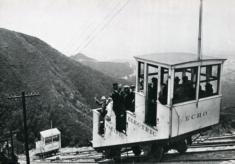
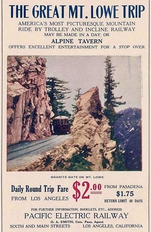
Regarding Mount Lowe Railway. During the early 1900’s, tourists could take the Pacific Electric trolley from Los Angeles to Rubio Canyon, then take the Incline Railway to the top of Echo Mountain, and then take another electric trolly to the Alpine Tavern hotel, all for one dollar. The hotel burned down in 1936, and was not rebuilt due to the Great Depression.
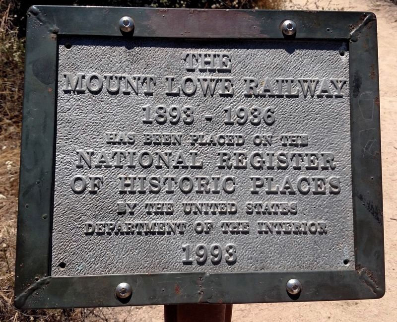
On January 6, 1993, the Mount Lowe Railway was listed on the National Register of Historic Places, and the boundary was increased in 2015.
Also see . . .
1. Wikipedia entry.
2016
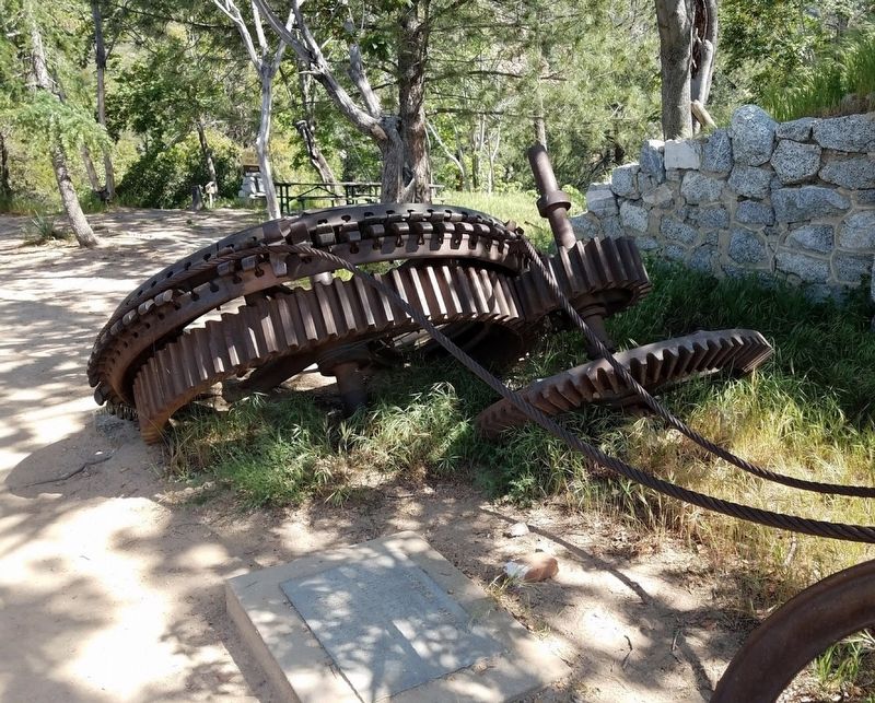
2. Marker and Cable Wheel
The Railway opened on July 4, 1893, and consisted of nearly seven miles of track starting in Altadena. Atop Echo Mountain was a 70-room Victorian hotel, the Echo Mountain House. A short distance away stood the 40-room Echo Chalet. Other buildings on Echo Mountain included an astronomical observatory, dormitories, repair facilities, a casino, and dance hall.(Submitted on December 12, 2023.)
For the seven years during which Lowe owned and operated the railway, it was not financially successful, and was eventually sold. A series of natural disasters destroyed the facilities, the first of which was a kitchen fire that destroyed the Echo Mountain House in 1900. Further fires and floods eventually destroyed any remaining facilities, and the railway was officially abandoned in 1938 after a flood washed away railway property. The ruins of Mount Lowe Railway remain.
2. 3 minute 1907 silent video “Ascending to Heaven on the Great Mt. Lowe Railway”.
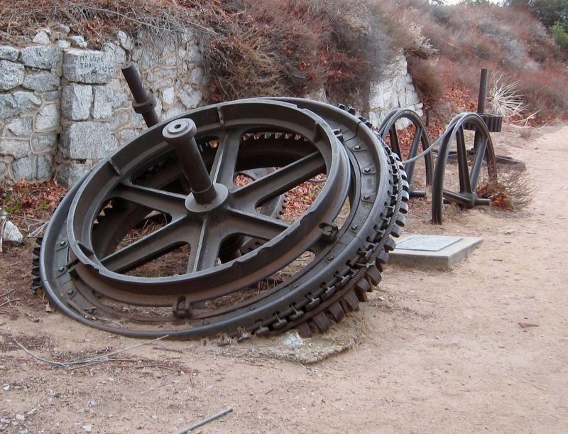
The film shows a view at :24 of the Incline Railway. At :53 the termination point, Echo Mountain House, is shown. At 1:28 is a view of the famed Circular Bridge. At 1:58 a group of riders on horseback trek up the mountain. At 2:25 a sign for the Mt. Lowe Scenic Railway(Submitted on December 12, 2023.)Mule Train followed by a shot of the mule “Herbert” on duty pushing the rail car.20153. Cable Wheel and Marker
circa 1915
4. Incline Railway
circa 1913
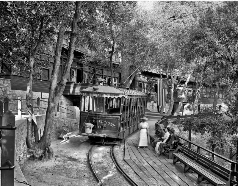
5. Alpine Tavern
2016
6. National Register of Historic Places

from Wikimedia Commons
7. Mount Lowe Railway Map
Public Domain
8. Mt Lowe Advertisement
Credits. This page was last revised on April 17, 2025. It was originally submitted on August 29, 2018, by Craig Baker of Sylmar, California. This page has been viewed 1,926 times since then and 106 times this year. Photos: 1, 2, 3, 4, 5, 6. submitted on August 29, 2018, by Craig Baker of Sylmar, California. 7. submitted on May 28, 2024, by Craig Baker of Sylmar, California. 8. submitted on April 17, 2025, by Craig Baker of Sylmar, California. • Syd Whittle was the editor who published this page.
