Missionary Ridge in Chattanooga in Hamilton County, Tennessee — The American South (East South Central)
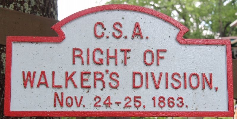
Walker's Division
Hardee's Corps
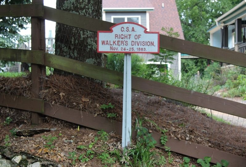
Right of
Walker's Division,
Nov. 24 - 25, 1863.
Erected 1890 by the Chickamauga and Chattanooga National Military Park Commission. (Marker Number MT-364A.)
Topics. This historical marker is listed in this topic list: War, US Civil. A significant historical date for this entry is November 24, 1863.
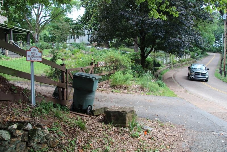
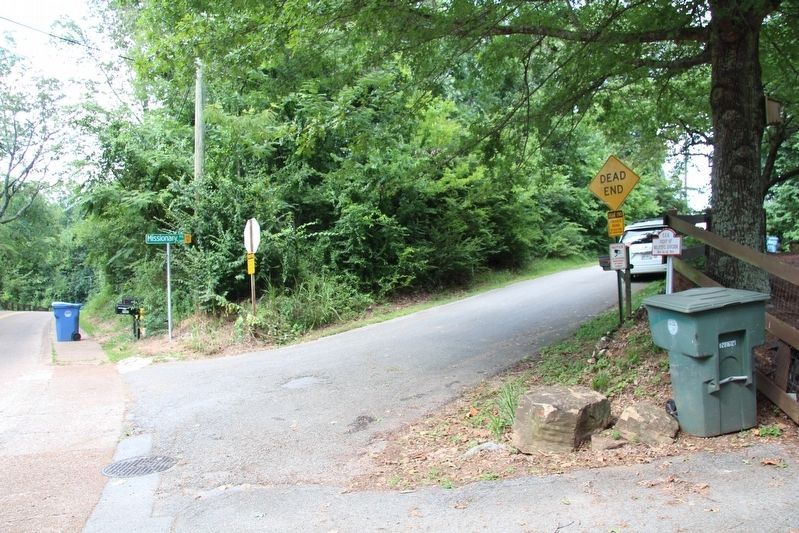
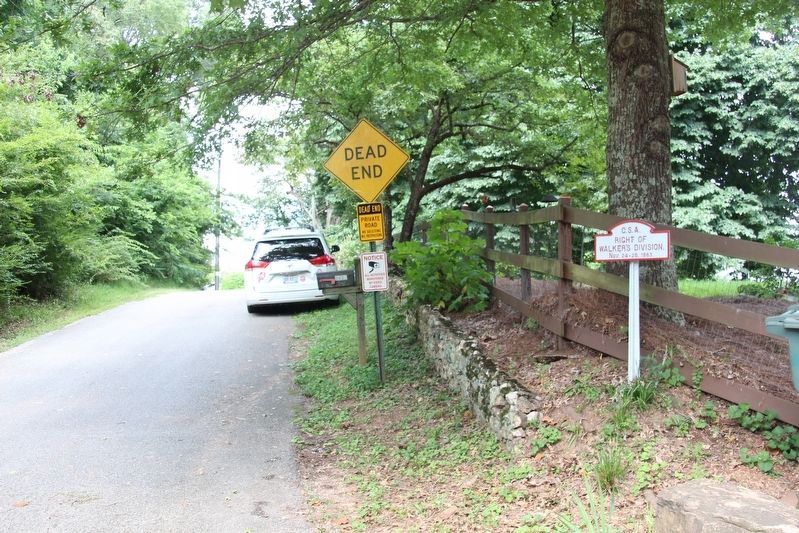
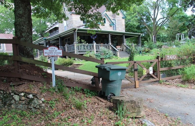
Location. 35° 3.58′ N, 85° 14.769′ W. Marker is in Chattanooga, Tennessee, in Hamilton County. It is in Missionary Ridge. Marker is at the intersection of North Crest Road and Missionary Ridge, on the right when traveling north on North Crest Road. Touch for map. Marker is at or near this postal address: 560 North Crest Road, Chattanooga TN 37406, United States of America. Touch for directions.
Other nearby markers. At least 8 other markers are within walking distance of this marker. Wilson's Brigade (within shouting distance of this marker); Van Den Corput's Georgia Battery (about 700 feet away, measured in a direct line); Pettus' Brigade (about 700 feet away); Gist's Brigade (approx. 0.2 miles away); Ferguson's (South Carolina) Battery (approx. 0.2 miles away); Locomotive 4501 (approx. ¼ mile away); Bledsoe's (Missouri) Battery (approx. ¼ mile away); Walker's Division. (approx. ¼ mile away). Touch for a list and map of all markers in Chattanooga.
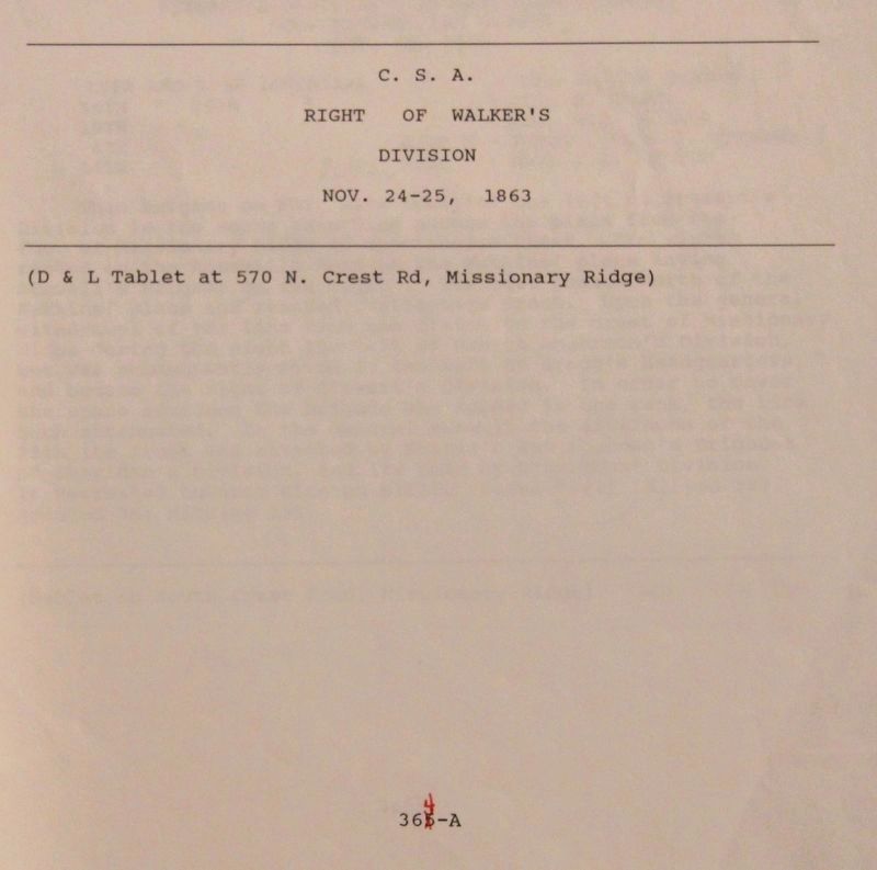
More about this marker. According to the description information provided by the National Park Service, the marker is a, “D & L Tablet at 570 North Crest Road."
For years I have been visiting the Missionary Ridge Battlefield, driving back and forth along the length of North and South Crest Roads, searching for markers and tablets, and I have been missing this Distance and Location Tablet completely. It wasn't until I recently obtained a copy of this tablet's entry on the "List of Classified Structures" that I had a specific address to use in assisting me in my search of missing markers, that I was able to locate this particular marker.
Note: the address for this tablet's location that is provided by the National Park Service is 570 North Crest Road, while the actual location is at 560 North Crest Road. This probably is the result of property lines having shifted some over the many years since when this information was originally recorded.
Credits. This page was last revised on February 7, 2023. It was originally submitted on August 29, 2018, by Dale K. Benington of Toledo, Ohio. This page has been viewed 143 times since then and 13 times this year. Photos: 1, 2, 3, 4, 5, 6, 7. submitted on August 29, 2018, by Dale K. Benington of Toledo, Ohio.
