Rossville in Walker County, Georgia — The American South (South Atlantic)
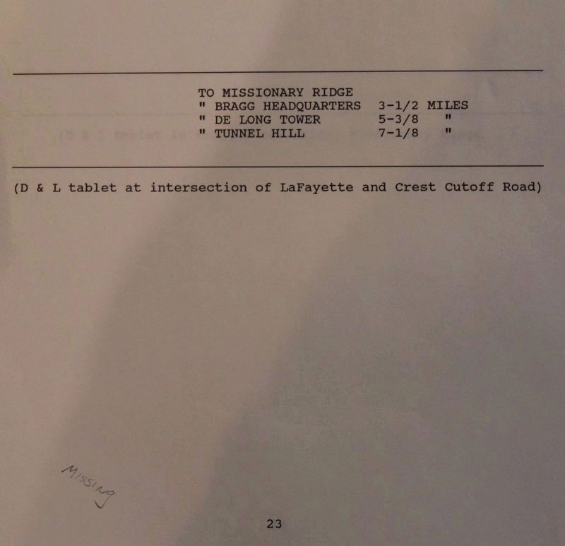
To Missionary Ridge
To Bragg Headquarters 3-1/2 Miles
To De Long Tower 5-3/8 Miles
To Tunnel Hill 7-1/8 Miles
Erected 1890 by the Chickamauga and Chattanooga National Military Park Commission. (Marker Number MT-23.)
Topics. This historical marker is listed in this topic list: War, US Civil.
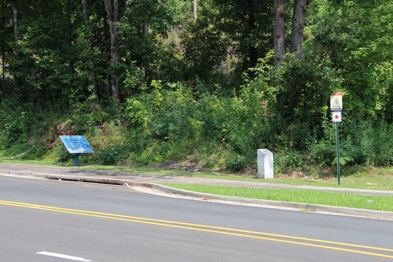
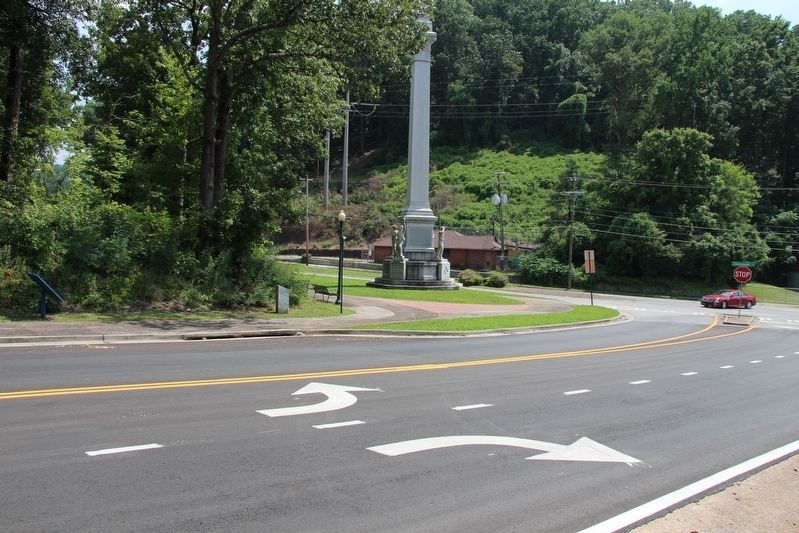
Location. Marker is missing. It was located near 34° 59.038′ N, 85° 16.765′ W. Marker was in Rossville, Georgia, in Walker County. Marker was at the intersection of West Crest Road and Chickamauga Avenue (U.S. 27), on the right when traveling north on West Crest Road. This marker is located just north of the Iowa State Memorial Monument, and is considered to be part of the monuments. markers, and tablets that are on the Iowa Reservation. Touch for map. Marker was in this post office area: Rossville GA 30741, United States of America. Touch for directions.
Other nearby markers. At least 8 other markers are within walking distance of this location. 27th U.S. Missouri Infantry (here, next to this marker); Woods' Brigade (here, next to this marker); Rossville Gap (within shouting distance of this marker); Iowa State Monument (within shouting distance of this marker); Osterhaus' Division (within shouting distance of this marker); Cruft's Division (about 600 feet away, measured in a direct line); 24th Ohio Infantry (approx. ¼ mile away in Tennessee); a different marker also named Cruft's Division (approx. ¼ mile away in Tennessee). Touch for a list and map of all markers in Rossville.
More about this marker. According to the description information provided by the National Park Service, the marker is a, “D & L tablet at intersection of LaFayette and Crest Cutoff Road."
Note: In the time that has passed since this entry was made in the official record of the National Park Service's "List of Classified Structures," several significant changes have been made to the landscape. Along this portion of the roadway, what was once called the LaFayette Road, is now called Chickamauga Avenue. What was once called the Crest Cutoff Road, is now called the West Crest Road. And finally, the monuments, markers, and tablets that were all part of the Iowa Reservation, including the Iowa State Memorial Monument, were all moved about 30 feet, in 1962, for the road relocation of U.S. 27. So that being said, this D & L tablet was probably originally located closer

Photographed By Dale K. Benington, July 12, 2018
2. To Missionary Ridge Marker
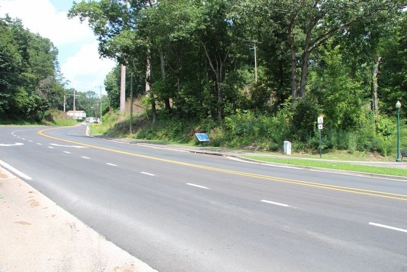
When this tablet was originally erected, it would have been closer to the intersection of Lafayette Crest Cutoff Roads, but over time the names of the roadways have changed, the roadways were realigned in 1962, and the monument, marker, and tablets of the Iowa Reservation were all moved. I believe that the tablet would have been relocated along with the Wood's Brigade tablet and the 27th Missouri Infantry (U.S.A.) marker.

Photographed By Dale K. Benington, July 12, 2018
3. To Missionary Ridge Marker
When this tablet was originally erected, it would have been closer to the intersection of Lafayette Crest Cutoff Roads, but over time the names of the roadways have changed, the roadways were realigned in 1962. View looking south from the area of the tablet, to the present day intersection with the renamed Chickamauga Avenue and West Crest Road.
Credits. This page was last revised on July 11, 2019. It was originally submitted on August 29, 2018, by Dale K. Benington of Toledo, Ohio. This page has been viewed 266 times since then and 13 times this year. Photos: 1, 2, 3, 4, 5. submitted on August 29, 2018, by Dale K. Benington of Toledo, Ohio.


