St. Maries in Benewah County, Idaho — The American West (Mountains)
Once an area of many uses by the Coeur d'Alene People
Inscription.
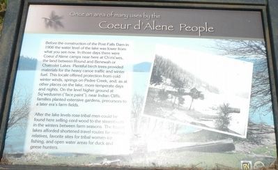
Before the construction of the Post Falls Dam in 1906 the water level of the lake was lower from what you see now. In those days there were Coeur d'Alene camps near here at Ch'mi'wes, the land between Round and Benewah or Chatcolet Lakes. Plentiful birch trees provided materials for the heavy canoe traffic and winter fuel. This locale offered protection from cold winter winds, springs on Pedee Creek, and, as at other places on the lake, more temperate days and nights. On the level higher ground at Sq'wedusmn ("face paint"), near Indian Cliffs, families planted extensive gardens, precursors to a later era's farm fields.
After the lake levels rose tribal men could be found here selling cord wood to the steamboats in winters between farm season. The frozen lakes afforded shortened travel routes for visiting relatives, favorite sites for tribal women ice fishing, and open water areas for duck and geese hunters.
Erected by The Coeur d'Alene Tribe.
Topics. This historical marker is listed in these topic lists: Native Americans • Natural Resources.
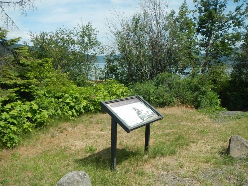
Location. 47° 21.272′ N, 116° 45.795′ W. Marker is in St. Maries, Idaho, in Benewah County. Marker is on State Highway 5 near Pedee Creek Road, on the left when traveling east. Touch for map. Marker is in this post office area: Saint Maries ID 83861, United States of America. Touch for directions.
Other nearby markers. At least 8 other markers are within 9 miles of this marker, measured as the crow flies. Heyburn State Park (approx. 0.4 miles away); Hnpetptqwe'n Wayside (approx. 2˝ miles away); Saint Joseph Indian Mission (approx. 4 miles away); The Mullan Road (approx. 5.7 miles away); Submerged Valley (approx. 6˝ miles away); John Mullan (approx. 8.6 miles away); Mullan Trail Road (approx. 8.6 miles away); Splash Dam at Hobo Creek (approx. 8.7 miles away). Touch for a list and map of all markers in St. Maries.
Credits. This page was last revised on August 29, 2018. It was originally submitted on August 29, 2018, by Barry Swackhamer of Brentwood, California. This page has been viewed 180 times since then and 19 times this year. Photos: 1, 2. submitted on August 29, 2018, by Barry Swackhamer of Brentwood, California.

