Franklin in Columbia County, Pennsylvania — The American Northeast (Mid-Atlantic)
The Newest Old Covered Bridge
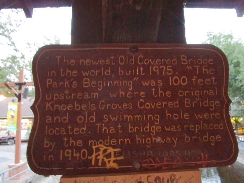
Photographed by Anton Schwarzmueller, August 23, 2018
1. The Newest Old Covered Bridge Marker
(picture brightened)
Erected by Knoebels.
Topics and series. This historical marker is listed in these topic lists: Bridges & Viaducts • Parks & Recreational Areas. In addition, it is included in the Covered Bridges series list. A significant historical year for this entry is 1975.
Location. 40° 52.738′ N, 76° 30.233′ W. Marker is in Franklin, Pennsylvania, in Columbia County. It can be reached from Knoebels Road. Marker is on the Lawrence L. Knoebel Covered Bridge, facing inward, in Knoebels Amusement Park, near the Birthday Pavilion and Grand Carousel. Touch for map. Marker is at or near this postal address: 391 Knoebels Boulevard, Elysburg PA 17824, United States of America. Touch for directions.

Regionally, this marker is in Pennsylvania’s Anthracite Coal Region and in the Susquehanna Valley. It is also in the American Northeast, in the Mid-Atlantic, in Appalachia, and specifically
this page online
Other nearby markers. At least 8 other markers are within walking distance of this marker: The Lighthouse (a few steps from this marker); Grand Carousel (within shouting distance of this marker); a different marker also named Grand Carousel (within shouting distance of this marker); First Cottage (within shouting distance of this marker); Swimming Hole (within shouting distance of this marker); Alamo Restaurant (within shouting distance of this marker); Early Sawmill Location (about 300 feet away, measured in a direct line); Dodgems (about 400 feet away). Touch for a list and map of all markers in Franklin.
Also see . . .
1. Knoebels Amusement Resort. (Submitted on August 29, 2018, by Anton Schwarzmueller of Wilson, New York.)
2. Knoebels Amusement Resort - Wikipedia. (Submitted on August 29, 2018, by Anton Schwarzmueller of Wilson, New York.)
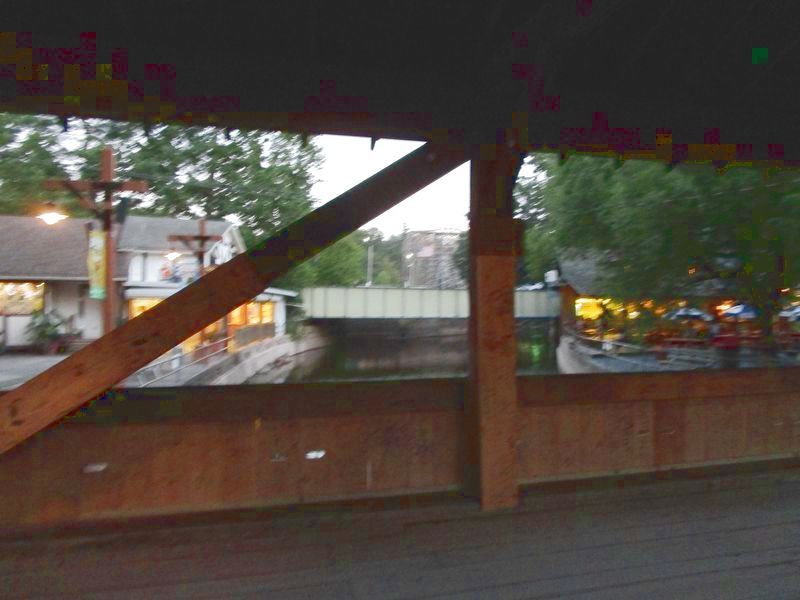
Photographed by Anton Schwarzmueller, August 23, 2018
2. The Newest Old Covered Bridge Marker
Marker is at the center of the bridge, facing inward, on the roof support post. View is south towards the 1940 bridge, Knoebels Road. Refer to the Swimming Hole marker to see this covered bridge. This is Roaring Creek and is the county line. Unfortunately I noticed this marker near the end of the day. Picture brightened. Heavy foot traffic makes it difficult to catch a wide clear shot of the marker.
Credits. This page was last revised on August 29, 2018. It was originally submitted on August 29, 2018, by Anton Schwarzmueller of Wilson, New York. This page has been viewed 401 times since then and 30 times this year. Photos: 1, 2. submitted on August 29, 2018, by Anton Schwarzmueller of Wilson, New York.
