Manzanar National Historic Site near Independence in Inyo County, California — The American West (Pacific Coastal)
Manzanar
Photographed by Craig Baker, April 28, 2023
1. Manzanar Marker
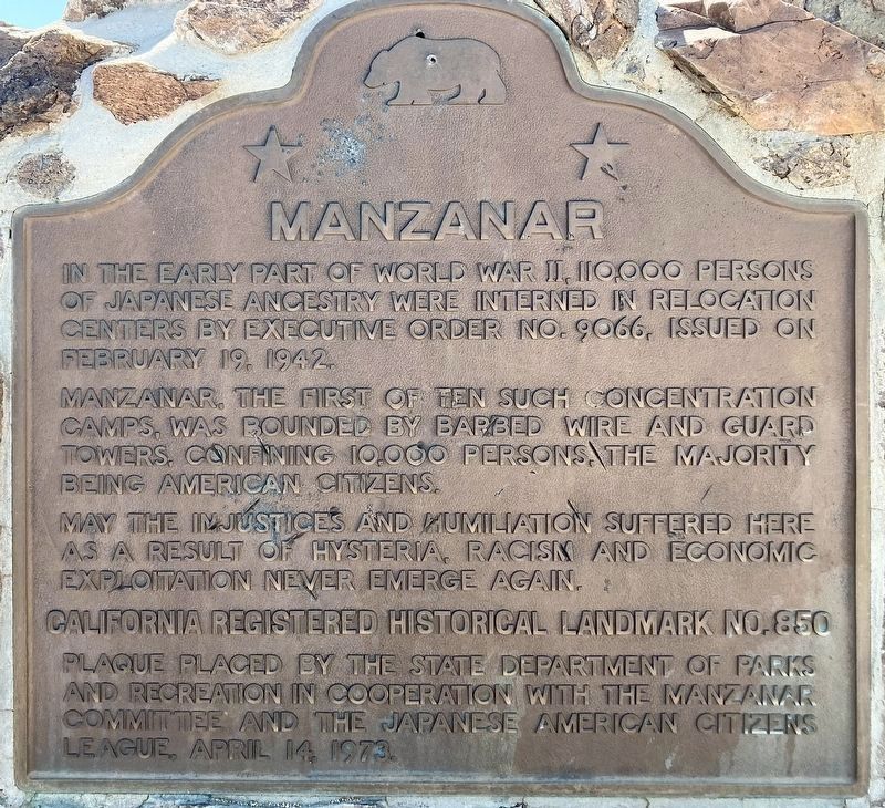
In the early part of World War II, 110,000 persons of Japanese ancestry were interned in relocation centers by Executive Order No. 9066, issued on February 19, 1942.
Manzanar, the first of ten such concentration camps, was bounded by barbed wire and guard towers, confining 10,000 persons, the majority being American citizens.
May the injustices and humiliation suffered here as a result of hysteria, racism and economic exploitation never emerge again.
California Registered Historical Landmark Number 850.
Erected 1973 by State Department of Parks and Recreation, Manzanar Committee, and Japanese American Citizens League. (Marker Number 850.)
Topics and series. This memorial is listed in these topic lists: Asian Americans • Civil Rights • War, World II. In addition, it is included in the California Historical Landmarks, and the National Historic Landmarks series lists.
Location. 36° 43.677′ N, 118° 8.848′ W. Memorial is near Independence, California, in Inyo County. It is in Manzanar National Historic Site. It can be reached from Manzanar Reward
this page online

Regionally, this memorial is in California’s Sierra Nevada. It is also in the American Mountain West. Globally, it is in North America, on the Ring of Fire, on the Pacific Rim, in the Western Hemisphere, in the Western World, and in the Anglosphere. Historically, it finds itself in what was once New Spain and also Mexico’s Alta California.
Other nearby markers. At least 10 other markers are within walking distance of this marker: Manzanar National Historic Site (a few steps from this marker); A Community's Living Room (within shouting distance of this marker); Crowded Quarters (about 600 feet away, measured in a direct line); Block 14 (about 600 feet away); "That's What You Call Survival" (about 700 feet away); Enduring Humiliation (approx. 0.2 miles away); The Manzanar Riot (approx. 0.2 miles away); Managing Manzanar (approx. 0.2 miles away); "Zeal for Cleanliness" (approx. 0.2 miles away);
Photographed by Craig Baker, April 28, 2023
2. Manzanar Marker
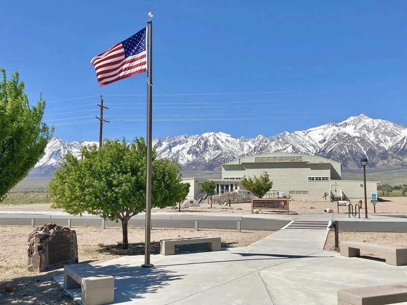
The marker is at far left. The visitor center is in the distance.
Regarding Manzanar. The fight to gain State Historic Landmark status went beyond just placing a historic marker. The plaque was the first public, official recognition of any confinement site from WWII in the United States — nearly 30 years after Manzanar was built.
This is the first time survivors of the camp came together and collectively defined what had happened, discussed what they experienced, and concluded that they were incarcerated in concentration camps because of racism, manufactured hysteria, and economic greed.
The core words re-emerge 15 years later in the official statement of the Civil Liberties Act of 1988.
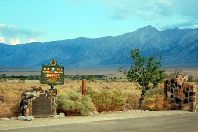
People opposed to the language on the plaque expressed their opposition on the plaque itself, leaving behind a legacy of hatchet marks, chiseling, graffiti, and bullet holes.
Also see . . . Manzanar National Historic Site. (Submitted on October 14, 2007, by Karen Key of Sacramento, California.)
Photographed by Karen Key, August 25, 2007
3. Manzanar Marker - in 2007
Photographed by Craig Baker, April 30, 2023
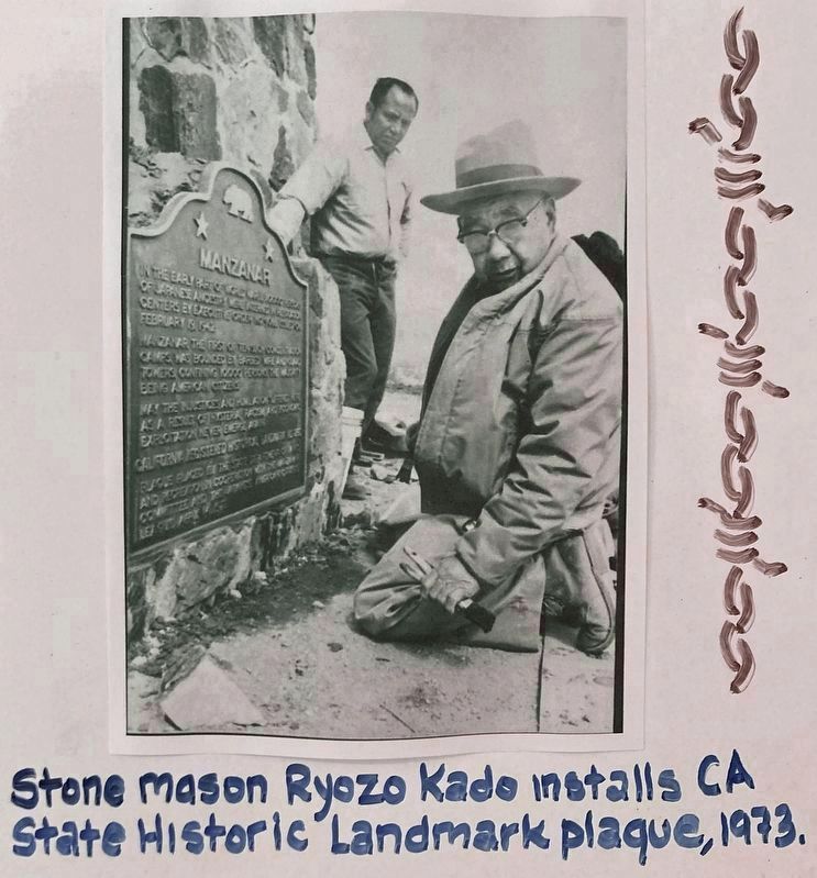
4. Manzanar Marker Installation - 1973
Ryozo Kado installed the new plaque on the sentry post. He built the the sentry post and the cemetery monument while incarcerated at Manzanar.
Photographed by Craig Baker, April 28, 2023
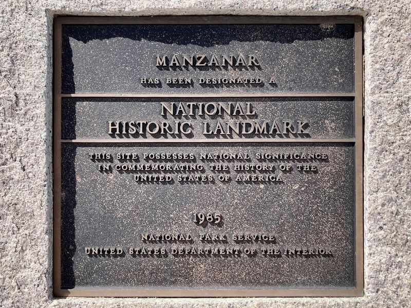
5. National Historic Landmark
Photographed by Karen Key, August 25, 2007
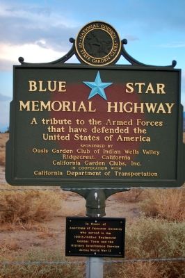
6. Blue Star Memorial Highway
In honor of Americans of Japanese Ancestry who served in the 100th/442nd Regimental Combat Team and the Military Intelligence Service during World War II
Photographed by Craig Baker, April 28, 2023
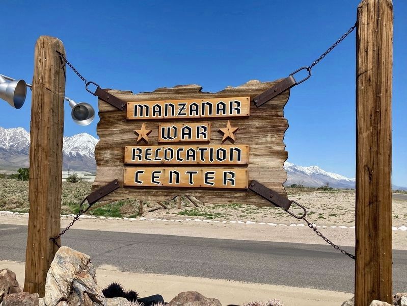
7. Manzanar Sign at Entrance

Photographed by Craig Baker
8. Sentry Posts at Main Entrance
Photographed by Denise Boose, February 11, 2009
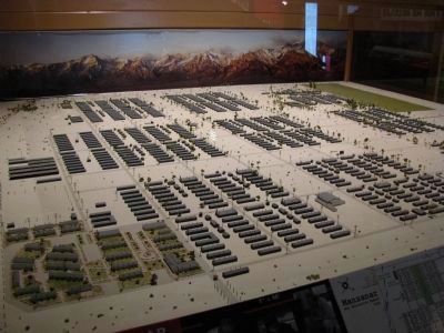
9. Model of the Manzanar Camp
On display in the visitor center.
Photographed by Craig Baker
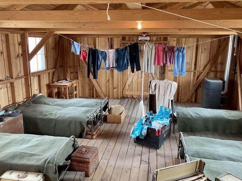
10. Barracks
Photographed by Karen Key, August 25, 2007
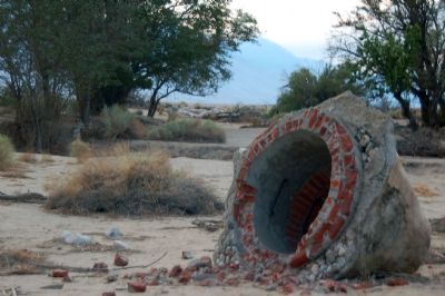
11. Manzanar Ruins - 2007

Photographed by Craig Baker, April 28, 2023
12. Guard Tower
Blue Star Memorial Highway marker at right.
Photographed by Craig Baker, April 28, 2023
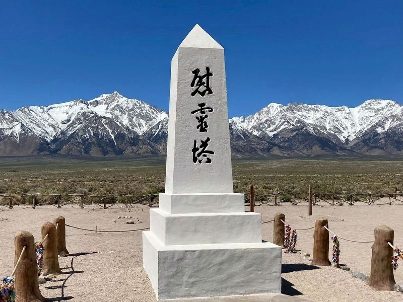
13. Cemetery Memorial
The Japanese characters read “Soul Consoling Tower”
Credits. This page was last revised on May 21, 2026. It was originally submitted on October 14, 2007, by Karen Key of Sacramento, California. This page has been viewed 4,200 times since then and 145 times this year. Last updated on August 31, 2018, by Craig Baker of Sylmar, California. Photos: 1. submitted on April 14, 2022, by Craig Baker of Sylmar, California. 2. submitted on June 15, 2023, by Craig Baker of Sylmar, California. 3. submitted on October 14, 2007, by Karen Key of Sacramento, California. 4, 5. submitted on June 15, 2023, by Craig Baker of Sylmar, California. 6. submitted on October 14, 2007, by Karen Key of Sacramento, California. 7. submitted on April 29, 2023, by Craig Baker of Sylmar, California. 8. submitted on May 19, 2025, by Craig Baker of Sylmar, California. 9. submitted on April 27, 2012, by Denise Boose of Tehachapi, California. 10. submitted on March 15, 2024, by Craig Baker of Sylmar, California. 11. submitted on October 14, 2007, by Karen Key of Sacramento, California. 12. submitted on November 21, 2025, by Craig Baker of Sylmar, California. 13. submitted on June 15, 2023, by Craig Baker of Sylmar, California. • Bill Pfingsten was the editor who published this page.
