Near Cataldo in Kootenai County, Idaho — The American West (Mountains)
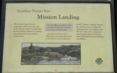
Mission Landing
Steamboat Transfer Point
In 1877, "Mission Landing" became the transfer point for freight and passengers from the streamers to the rail cars of the newly constructed narrow gauge railway serving the silver mining district towns of Kellogg and Wallace.
Erected by Idaho State Parks and Recreation.
Topics. This historical marker is listed in this topic list: Waterways & Vessels.
Location. 47° 32.922′ N, 116° 21.516′ W. Marker is near Cataldo, Idaho, in Kootenai County. Marker can be reached from South Mission Road near Interstate 90. Touch for map. Marker is at or near this postal address: 31732 South Mission Road, Cataldo ID 83810, United States of America. Touch for directions.
Other nearby markers. At least 8 other markers are within walking distance of this marker. Parsonage House (within shouting distance of this marker); Old Mission (within shouting distance of this marker); Lodging for Travelers (within shouting distance of this marker); Old Mission Bell (within shouting distance of this marker); Stock and Crop Barn (within shouting distance of this marker); Grist Mill (about 400 feet away, measured in a direct line); Old River Channel (about 500 feet away); Dug-Out Canoe (about 500 feet away). Touch for a list and map of all markers in Cataldo.
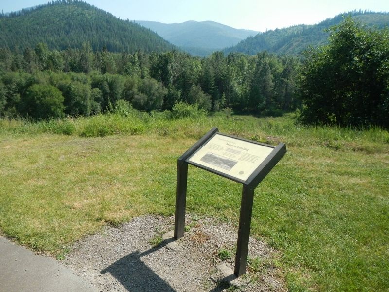
More about this marker. This marker is found on the grounds of Old Mission State Park, located off of Interstate 90, exit 40.
Credits. This page was last revised on September 1, 2018. It was originally submitted on September 1, 2018, by Barry Swackhamer of Brentwood, California. This page has been viewed 154 times since then and 17 times this year. Photos: 1, 2. submitted on September 1, 2018, by Barry Swackhamer of Brentwood, California.

