
Painesville in Lake County, Ohio — The American Midwest (Great Lakes)
Uri Seeley House
969 Riverside Drive
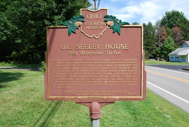
Photographed by Mike Wintermantel, August 31, 2018
1. Uri Seeley House Marker
Erected 2005 by Munson Corners, Inc., Blackbrook Storage, LLC, and The Ohio Historical Society. (Marker Number 25-43.)
Topics and series. This historical marker is listed in these topic lists: Abolition & Underground RR • Architecture. In addition, it is included in the Ohio Historical Society / The Ohio History Connection series list. A significant historical year for this entry is 1819.
Location. 41° 42.903′ N, 81° 12.464′ W. Marker is in Painesville,
this page online

Regionally, this marker is in Greater Cleveland, on the Lake Erie Shore, and in the Western Reserve. It is also in the American Midwest and on the Great Lakes. Globally, it is in North America, the Western Hemisphere, the Western World, and the Anglosphere. Historically, it finds itself in what was once the Haudenosaunee (Iroquois) Confederacy, the territory of the Mississippian Culture, and the Northwest Territory.
Other nearby markers. At least 8 other markers are within 2 miles of this marker, measured as the crow flies: Pyramid Of Remembrance (approx. 0.6 miles away); Vrooman Road Bridge (approx. 1½ miles away); This Stone (approx. 1.8 miles away); The Casement House / General Jack and Frances Jennings Casement (approx. 1.8 miles away); Camp Wissalohichan (approx. 1.8 miles away); George E. Stevens Memorial Stone (approx. 1.8 miles away); Edna A. Phelps (Ne Crofoot) and James A. Phelps (approx.

Photographed by Mike Wintermantel, August 31, 2018
2. Uri Seeley House Marker
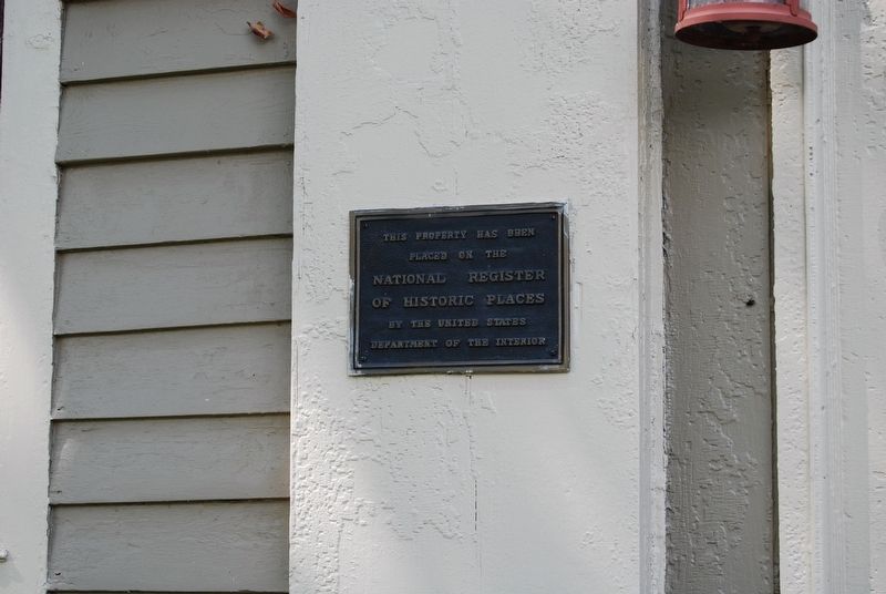
Photographed by Mike Wintermantel, August 31, 2018
3. Uri Seeley House Marker
This property has been placed on the National Register of Historic Places by the United States Department of the Interior
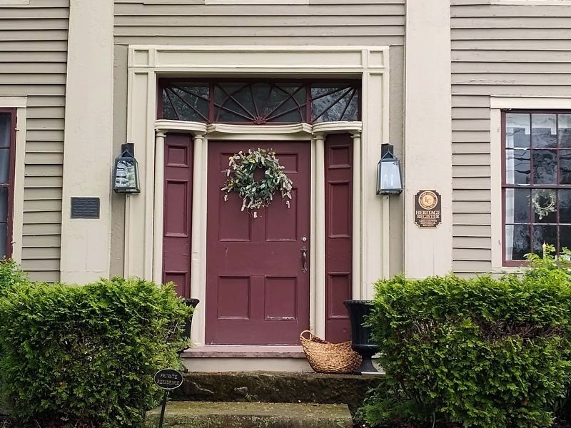
Photographed by Craig Doda, May 2, 2026
4. Uri Seeley House Marker
Credits. This page was last revised on May 11, 2026. It was originally submitted on September 1, 2018, by Mike Wintermantel of Pittsburgh, Pennsylvania. This page has been viewed 1,380 times since then and 131 times this year. Photos: 1, 2, 3. submitted on September 1, 2018, by Mike Wintermantel of Pittsburgh, Pennsylvania. 4. submitted on May 7, 2026, by Craig Doda of Napoleon, Ohio.
