Near Coeur d'Alene in Kootenai County, Idaho — The American West (Mountains)
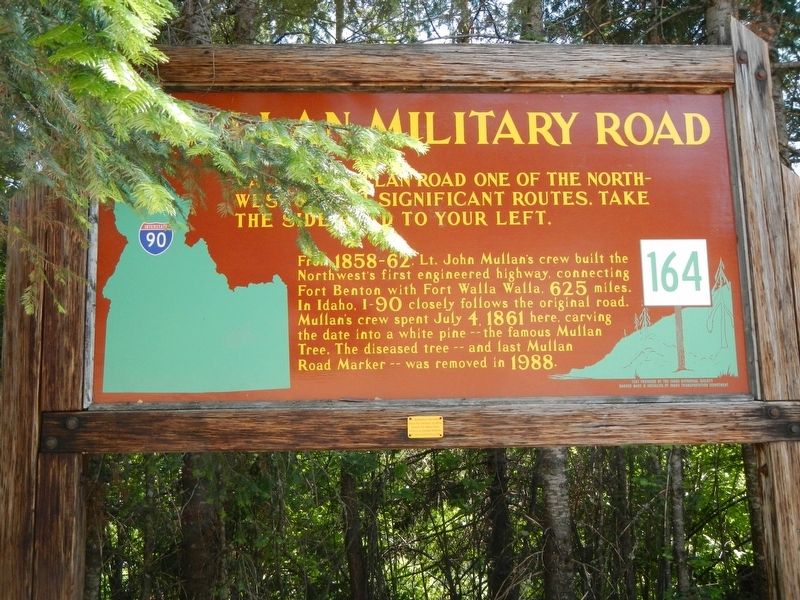
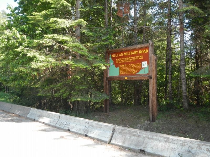
Mullan Military Road
From 1858-62, Lt. John Mullan's crew built the Northwest's first engineered highway, connecting Fort Benton with Fort Walla Walla, 625 miles. In Idaho, I-90 closely follows the original road. Mullan's crew spent July 4, 1861 here, carving the date into a white pine -- the famous Mullan Tree. The diseased tree -- and last Mullan Road Marker -- was removed in 1988.
Erected by Idaho Department of Transportation. (Marker Number 164.)
Topics and series. This historical marker is listed in this topic list: Roads & Vehicles. In addition, it is included in the Idaho State Historical Society series list.
Location. 47° 33′ N, 116° 21.396′ W. Marker is near Coeur d'Alene, Idaho, in Kootenai County. Marker is on Copper Road (Forest Road 3098) near Interstate 90, on the right when traveling west. Touch for map. Marker is in this post office area: Coeur D Alene ID 83814, United States of America. Touch for directions.
Other nearby markers. At least 8 other markers are within walking distance of this marker. Main Cemetery (here, next to this marker); Indian Village (within shouting distance of this marker); Dug-Out Canoe (about 500 feet away, measured in a direct line); Old Mission Bell (about 600 feet away); Old Mission of the Sacred Heart (about 600 feet away); Old Mission (about 700 feet away); Mission Landing (about 700 feet away); Parsonage House (about 700 feet away).
More about this marker. This marker is located at Fourth of July Pass, I-90 exit 28.
An earlier edition of this marker read:
Mullan Tree
At the summit, 3.4 miles west, a side road leads to the tree carved by road builders during a Fourth of July celebration in 1861.
The famous Mullan Road, connecting Fort Benton on the Missouri with Fort Walla Walla on the Columbia, originally ran south of Coeur d' Alene Lake. But to avoid bad going there, Army Captain John Mullan in 1861 built 30 miles of new road -- which this highway still follows quite closely. His crew celebrated July Fourth at the summit, chopping the date into a great white pine which was partially destroyed by a storm in late 1962.
Credits. This page was last revised on September 3, 2018. It was originally submitted on September 3, 2018, by Barry Swackhamer of Brentwood, California. This page has been viewed 236 times since then and 20 times this year. Photos: 1, 2, 3. submitted on September 3, 2018, by Barry Swackhamer of Brentwood, California.


