
St. Marys in Pottawatomie County, Kansas — The American Midwest (Upper Plains)
St. Marys
Photographed by Lee Hattabaugh, July 1, 2010
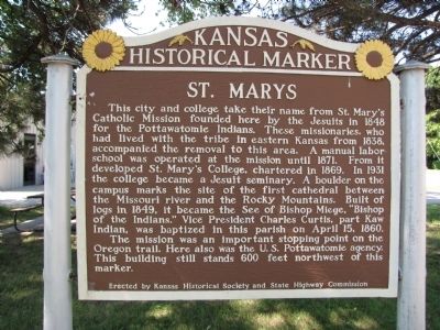
1. St. Mary's Marker
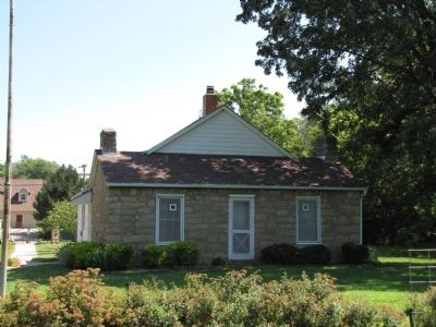
The mission was an important stopping point on the Oregon trail. Here also was the U.S. Pottawatomie agency. This building still stands 600 feet northwest of this marker.
Erected by Kansas Historical Society and State Highway Commission. (Marker Number 18.)
Topics and series. This historical marker is listed in these topic lists: Education • Indigenous Peoples and Communities • Settlements & Settlers. In
this page online
Location. 39° 11.412′ N, 96° 3.627′ W. Marker is in St. Marys, Kansas, in Pottawatomie County. It is at the intersection of East Bertrand Street (U.S. 24) and Grand Avenue, on the right when traveling east on East Bertrand Street. Touch for map. Marker is at or near this postal address: 203 East Bertrand Street, Saint Marys KS 66536, United States of America. Touch for directions.

Regionally, this marker is in Eastern Kansas and specifically in Bleeding Kansas Border War Country. It is also in the American Midwest, in the Corn Belt, on the prairies, and on the Southern Plains. Globally, it is in North America, the Western Hemisphere, the Western World, and the Anglosphere. Historically, it finds itself in what was once the Louisiana Purchase.
Other nearby markers. At least 8 other markers are within 7 miles of this marker, measured as the crow flies: The Great Military Road (here, next to this marker); Site of the Oregon Trail (about 400 feet away, measured
Photographed by Lee Hattabaugh, July 1, 2010
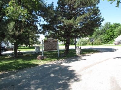
2. St. Mary's Marker
Photographed by Lee Hattabaugh, July 1, 2010
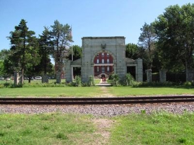
3. St. Mary's Memorial
To the Sons of St. Mary's College who served their Country in THE WORLD WAR, The Alumni have built this Memorial.
Photographed by Lee Hattabaugh, July 1, 2010
4. Pottawatomie Agency building (Indian Pay Station)
Located on the grounds of the St. Mary's Historical Society museum.
Credits. This page was last revised on September 6, 2018. It was originally submitted on August 23, 2010, by Lee Hattabaugh of Capshaw, Alabama. This page has been viewed 2,805 times since then and 163 times this year. Last updated on September 4, 2018, by Cosmos Mariner of Cape Canaveral, Florida. Photos: 1, 2, 3, 4. submitted on August 23, 2010, by Lee Hattabaugh of Capshaw, Alabama. • Bill Pfingsten was the editor who published this page.
