Sperryville in Rappahannock County, Virginia — The American South (Mid-Atlantic)
Civilian Conservation Corps
Redbird Camp
Photographed by Cosmos Mariner, September 6, 2018
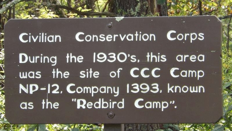
1. Civilian Conservation Corps Marker
During the 1930’s, this area
was the site of CCC Camp
NP-12, Company 1393, known
as the “Redbird Camp.”
Topics and series. This historical marker is listed in these topic lists: Charity & Public Work • Parks & Recreational Areas. In addition, it is included in the Civilian Conservation Corps (CCC) series list.
Location. 38° 45.037′ N, 78° 17.63′ W. Marker is in Sperryville, Virginia, in Rappahannock County. It is on Piney River Area Road west of Skyline Drive, on the left when traveling west. Piney River Area Road and this marker are located at mile 22.1 on Skyline Drive in Shenandoah National Park. This marker is near the trailhead and parking lot for Shenandoah's Piney Branch Trail. Touch for map. Marker is in this post office area: Sperryville VA 22740, United States of America. Touch for directions.

Regionally, this marker is in the Washington Metropolitan Area and in Northern Virginia. It is also in the American South, specifically in the Upper South, and in the Mid-Atlantic. Globally, it is in North America,
this page online
Other nearby markers. At least 8 other markers are within 5 miles of this marker, measured as the crow flies: Help Wanted! (within shouting distance of this marker); A Skyline Drive for a Bird's-Eye View (approx. 3.7 miles away); Come Back When You Have More Time (approx. 3.7 miles away); Warren County / Page County (approx. 4.8 miles away); The Historic Page Valley (approx. 4.8 miles away); Battle of Milford (approx. 4.8 miles away); Overall Bridge (approx. 4.8 miles away); U.S. Route 340 (approx. 4.8 miles away).
Another marker is no longer nearby. Range View (was approx. 3.7 miles away but has been confirmed missing).
More about this marker. This is a painted, wooden "sign-board" style marker, mounted on a 5-foot high post.
Related markers. Click here for a list of markers that are related to this marker. CCC Camp NP-12 (Camp Red Bird)
Also see . . .
1. Civilian Conservation Corps (CCC) in Shenandoah National Park.
Photographed by Cosmos Mariner, September 6, 2018
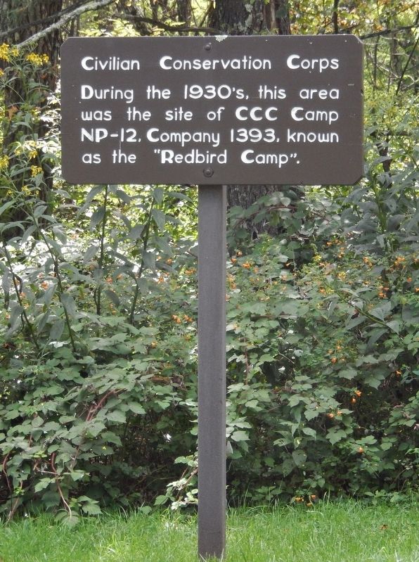
2. Civilian Conservation Corps Marker (tall view)
2. Shenandoah - Civilian Conservation Corps (CCC). After the official establishment of the park on December 26, 1935, CCC activities were expanded to include the entire acreage. Houses and outbuildings of former residents were dismantled or burned, fences were removed, gardens and orchards were obliterated, and work areas were replanted, seeded or sodded. Many known 20th-century homesites in Shenandoah are invisible today due to the CCC's mandate to return the land to its "natural state." (Submitted on September 6, 2018, by Cosmos Mariner of Cape Canaveral, Florida.)
Photographed by Cosmos Mariner, September 6, 2018
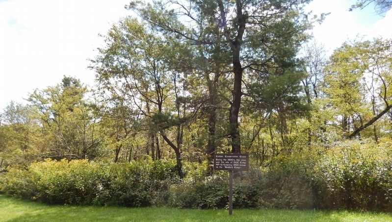
3. Civilian Conservation Corps Marker (wide view; looking south from Piney River Area Road)
Credits. This page was last revised on September 7, 2018. It was originally submitted on September 5, 2018, by Cosmos Mariner of Cape Canaveral, Florida. This page has been viewed 705 times since then and 33 times this year. Photos: 1, 2, 3. submitted on September 6, 2018, by Cosmos Mariner of Cape Canaveral, Florida. • Andrew Ruppenstein was the editor who published this page.
