Angeles National Forest in Los Angeles County, California — The American West (Pacific Coastal)
Benjamin Davis Wilson
Don Benito
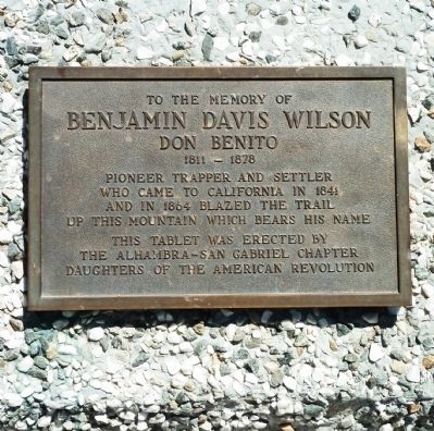
Photographed by Roger W. Sinnott, June 5, 2012
1. Benjamin Davis Wilson Marker
Erected by the Alhambra – San Gabriel Chapter, Daughters of the American Revolution.
Topics and series. This historical marker is listed in these topic lists: Exploration • Science & Medicine • Settlements & Settlers. In addition, it is included in the Daughters of the American Revolution (DAR) series list. A significant historical year for this entry is 1811.
Location. 34° 13.367′ N, 118° 3.751′ W. Marker is in Angeles National Forest, California, in Los Angeles County. It can be reached from Mount Wilson Road. Marker is on Mount Wilson, along the southeastern side of the main parking lot, open from 10:00 am to 5:00 pm. Touch for map. Marker is in this post office area: Pasadena CA 91107, United States of America. Touch for directions.

Regionally, this marker is in Greater Los Angeles and in the Transverse Ranges. It is also on the American Pacific Coast. Globally, it is in North America, on the Ring of Fire,
this page online
Other nearby markers. At least 8 other markers are within 3 miles of this marker, measured as the crow flies: Harvard’s Mount Wilson Station (about 500 feet away, measured in a direct line); Michelson Pier on Mount Wilson (approx. ¼ mile away); The 100-Inch Hooker Telescope (approx. 0.4 miles away); The Mount Wilson 100 Inch Telescope (approx. 0.4 miles away); Eaton Saddle (approx. 2.1 miles away); Mount Lowe Scenic Railway (approx. 2.1 miles away); Mount Lowe Summit (approx. 2½ miles away); Henninger Flats (approx. 2.6 miles away). Touch for a list and map of all markers in Angeles National Forest.
Regarding Benjamin Davis Wilson. After being explored by Benjamin Davis Wilson, the 5,700-foot mountain became known as Wilson’s Peak and later Mount Wilson. It has been the site of powerful astronomical telescopes since 1889. From 1908 to 1948, its 60-inch and 100-inch reflectors ranked, successively, as the largest telescope in the world.
Since
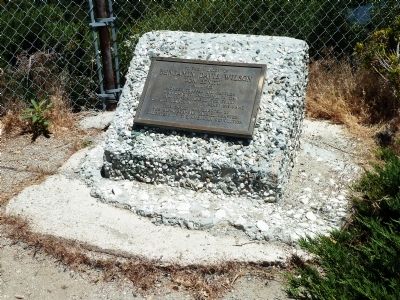
Photographed by Roger W. Sinnott, June 5, 2012
2. Benjamin Davis Wilson Marker
Related marker. Click here for another marker that is related to this marker. -- the Mt Wilson Trail marker in Sierra Madre.
Also see . . . Mount Wilson Observatory. History, visiting, tours, etc. (Submitted on September 7, 2018, by Craig Baker of Sylmar, California.)
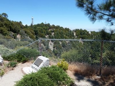
Photographed by Roger W. Sinnott, June 5, 2012
3. Benjamin Davis Wilson Marker
Some of the domes of historic Mount Wilson Observatory, including the 150-foot and 60-foot solar towers, are visible.
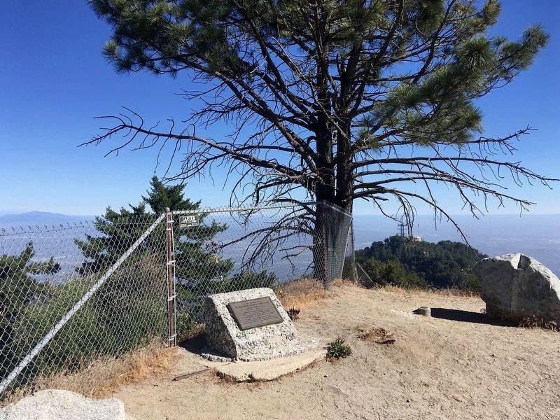
Photographed by Craig Baker, July 2, 2022
4. Benjamin Davis Wilson Marker
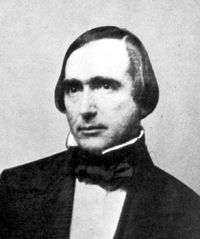
circa 1850
5. Benjamin Davis Wilson
In this image from Wikimedia Commons, Wilson is pictured at about age 40. He was the maternal grandfather of Gen. George S. Patton, Jr.
Credits. This page was last revised on January 21, 2026. It was originally submitted on July 8, 2012, by Roger W. Sinnott of Norwell, Massachusetts. This page has been viewed 1,868 times since then and 74 times this year. Last updated on September 7, 2018, by Craig Baker of Sylmar, California. Photos: 1, 2, 3. submitted on July 8, 2012, by Roger W. Sinnott of Norwell, Massachusetts. 4. submitted on January 3, 2023, by Craig Baker of Sylmar, California. 5. submitted on July 8, 2012, by Roger W. Sinnott of Norwell, Massachusetts. • Andrew Ruppenstein was the editor who published this page.
