Le Vieux-Québec, site du patrimoine mondial de l'UNESCO
Old Quebec, UNESCO World Heritage Site
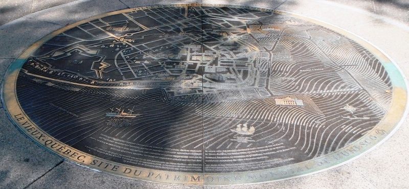

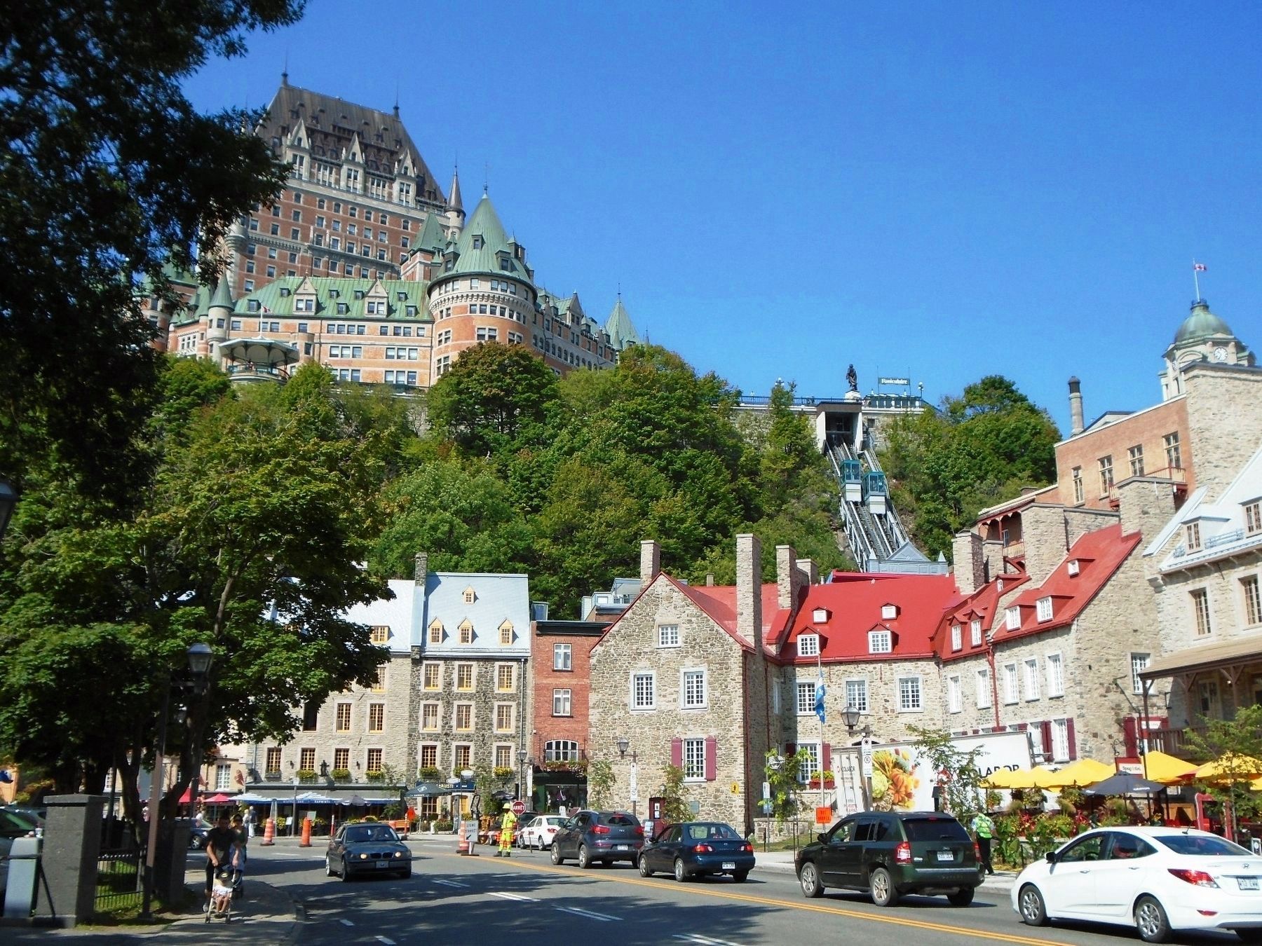
Ce médaillon de bronze représente une partie du site patrimonial du Vieux-Québec, son littoral, ses quais et ses bâtiments patrimoniaux les plus représentatifs, à différentes époques de son histoire. Il a été dévoilé en septembre 2015, à l'occasion du 30e anniversaire de l'inscription de ce site sur la Liste du patrimoine mondial de l'UNESCO, en présence de la ministre de la Culture et des Communications, Hélène David, et du maire de Québec, Régis Labaume.
Founded by the French explorer Champlain at the beginning
This bronze medallion represents part of the Old Quebec heritage site, its shoreline, its quays and its most representative heritage buildings, at different times in its history. It was unveiled in September 2015, on the occasion of the 30th anniversary of the inscription of this site on the UNESCO World Heritage List, in the presence of the Minister of Culture and Communications, Hélène David, and the Mayor of Quebec, Régis Labaume.
this page online
Erected 2015.
Topics and series. This historical marker is listed in these topic lists: Colonial Era • Exploration • Settlements & Settlers. In addition, it is included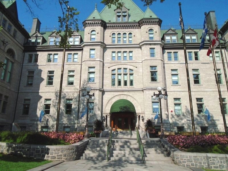
Location. 46° 48.831′ N, 71° 12.464′ W. Marker is in Québec, in Capitale-Nationale. It is in Haute-Ville. It is at the intersection of rue Desjardins and rue De Buade, on the right when traveling south on rue Desjardins. Marker is in the ground east of City Hall's main entrance. Touch for map. Marker is at or near this postal address: 2 rue Desjardins, Québec G1R 4S9, Canada. Touch for directions.
Regionally, this marker is in Central Canada. Globally, it is in North America, the Western Hemisphere, and the Western World. Historically, it finds itself in what was once a British colony, the Viceroyalty of New France, the Haudenosaunee (Iroquois) Confederacy, and Rupert’s Land.
Other nearby markers. At least 8 other markers are within walking distance of this marker: L'hôtel de Ville de Québec / Québec City Hall (a few steps from this marker); Collège des Jésuites / Jesuit College (within shouting distance of this marker); Octave Crémazie (within shouting distance of this marker); Édifice Price / Price Building (about 90 meters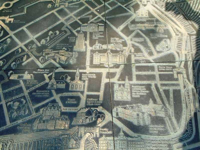
Also see . . . Historic District of Old Québec (UNESCO). (Submitted on September 8, 2018, by William Fischer, Jr. of Reynoldsburg, Ohio.)
Credits. This page was last revised on October 14, 2025. It was originally submitted on September 8, 2018, by William Fischer, Jr. of Reynoldsburg, Ohio. This page has been viewed 701 times since then and 50 times this year. Photos: 1. submitted on September 8, 2018, by William Fischer, Jr. of Reynoldsburg, Ohio. 2. submitted on September 7, 2018, by William Fischer, Jr. of Reynoldsburg, Ohio. 3, 4, 5, 6, 7, 8, 9. submitted on September 8, 2018, by William Fischer, Jr. of Reynoldsburg, Ohio.
