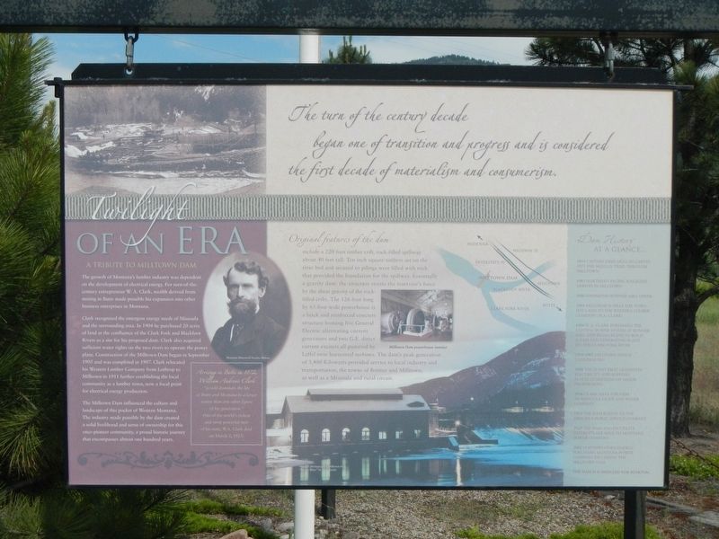
Twilight of an Era

The turn of the century decade began one of transition and progress and is considered the first decade of materialism and consumerism.
A Tribute to Milltown Dam
The growth of Montana's lumber industry was dependent on the development to electrical energy. For turn-of-the-century entrepreneur W.A. Clark, wealth derived from mining in Butte made possible his expansion into other business enterprises in Montana.
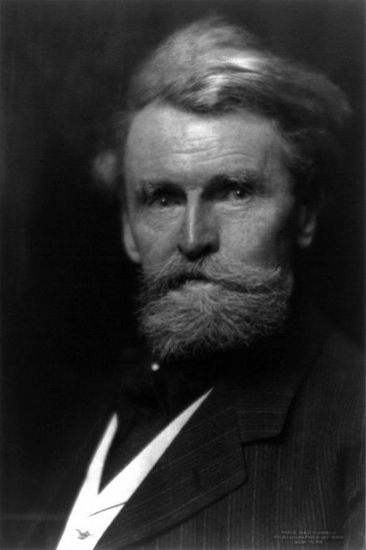
Clark recognized the emergent energy needs of Missoula and the surrounding area. In 1904 he purchased 20 acres of land at the confluence of the Clark Fork and Blackfoot Rivers as a site for his proposed dam. Clark also acquired sufficient water rights on the two rivers to operate the power plant. Construction of the Milltown Dam began in September 1905 and was completed in 1907. Clark relocated his Western Lumber Company from Lothrop to Milltown in 1911 further establishing the local community as a lumber town, now a focal point for electrical energy production.
The Milltown Dam influenced the culture and landscape of this pocket of Western Montana. The industry made possible by the dam created a solid livelihood and sense of ownership for this once pioneer community, a proud historic journey that encompasses almost one hundred years.
Original features of the dam include
a 220 foot timber crib, rock-filled spillway about 40 feet tall. Ten inch square timbers set on the river bed and secured to pilings were filled with rock that provided the foundation for the spillway. Essentially a gravity dam: the structure resists the reservoir's force by the shear gravity of the rock-filled cribs. The 126 foot long by 65 foot wide powerhouse is a brick and reinforced concrete structure housing five General Electric alternating current generators and two G.E. direct current exciters all powered by Leffel twin horizontal turbines. The dam's peak generation of 3,400 Kilowatts provided service to local industry and transportation, the towns of Bonner and Milltown, as well as a Missoula and rural circuit.
Dam History at a glance
1854 -- Captain John Mullan carves out the Mullan Trail through Milltown
1883 -- Northern Pacific Railroad arrives in Milltown
1886 -- Hammond-Bonner Mill opens
1903 -- McCormick sells the townsite land to the Western Lumber Company (W.A. Clark)
1904 -- W.A. Clark purchases the existing power system at Bonner Mill and begins plans to build a dam and generating plant on the Clark Fork River
1905-1907 -- Milltown Dam is constructed
1908 -- The plant first generates electricity and survives flood conditions of major proportions
1916 -- Clark sells the dam to Missoula Light and Water Company
1924 -- The dam is sold to the Missoula Public Service Company
1929 -- The dam and its utility interest are sold to Montana Power Company
2002 -- Northwestern Energy purchases Montana Power Company including the Milltown Dam
The Dam is scheduled for removal.
Topics. This historical marker is listed in these topic lists: Charity & Public Work • Industry & Commerce • Waterways & Vessels. A significant historical month for this entry is September 1905.
Location. 46° 52.497′ N, 113° 53.123′ W. Marker is in Missoula, Montana, in Missoula County. Marker is on Montana Highway East (State Highway 200) near 1st Street, on the right when traveling west. Touch for map. Marker is at or near this postal address: 7985 Montana Highway 200, Missoula MT 59802, United States of America. Touch for directions.
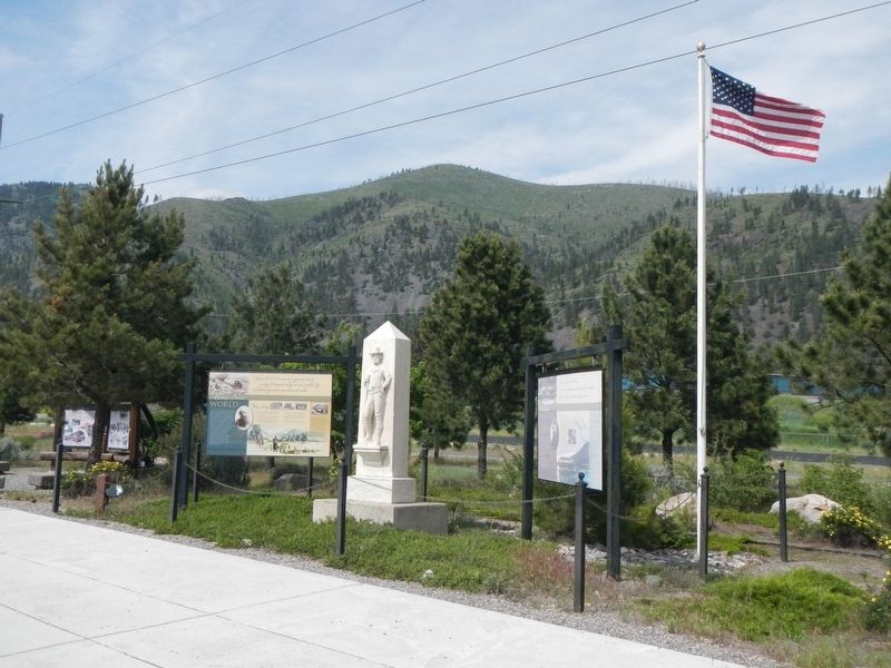
Other nearby markers. At least 8 other markers are within 5 miles of this marker, measured as the crow flies. Brave New World (here, next to this marker); Journey Through the Blackfoot (a few steps from this marker); Prescott House (approx. 4.6 miles away); a different marker also named Prescott House (approx. 4.6 miles away); Central Heating Plant (approx. 4.7 miles away); Glacial Lake Missoula (approx. 4.7 miles away); All gave some, some gave all (approx. 4.7 miles away); Men's Gymnasium (approx. 4.7 miles away). Touch for a list and map of all markers in Missoula.
More about this marker. This marker is located at a roadside turnout on the north side of Montana Highway 200.
Also see . . .
1. William A. Clark - Wikipedia. He made a fortune with copper mining, small smelters, electric power companies, newspapers, railroads (trolley lines around Butte and the San Pedro, Los Angeles and Salt Lake Railroad from Salt Lake City, Utah to San Pedro and Los Angeles, California), and other businesses, becoming known as one of three "Copper Kings" of Butte, Montana... (Submitted on September 9, 2018, by Barry Swackhamer of Brentwood, California.)
2. Huguette Clark scandal sparks interest in Copper King father's lavish past - MSN. He was elected by the state Legislature to the U.S. Senate in 1901, serving a single term. In fact, his purchase of a Senate seat through the bribing of legislators led eventually to the constitutional amendment calling for the direct election of senators. Clark also created the city of Las Vegas in 1905 as a way station for his Los Angeles to Salt Lake City railroad. Surrounding Clark County was named for him. (Submitted on September 9, 2018, by Barry Swackhamer of Brentwood, California.)
Credits. This page was last revised on December 20, 2020. It was originally submitted on September 9, 2018, by Barry Swackhamer of Brentwood, California. This page has been viewed 331 times since then and 37 times this year. Photos: 1, 2, 3. submitted on September 9, 2018, by Barry Swackhamer of Brentwood, California.

