Brandenburg in Meade County, Kentucky — The American South (East South Central)
County Named, 1823
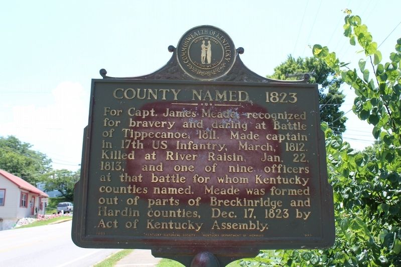
Photographed by Tom Bosse, July 5, 2018
1. County Named, 1823 Marker
Erected 1965 by Kentucky Historical Society & Kentucky Department of Highways. (Marker Number 845.)
Topics and series. This historical marker is listed in these topic lists: Patriots & Patriotism • War of 1812 • Wars, US Indian. In addition, it is included in the Kentucky Historical Society series list. A significant historical month for this entry is March 1812.
Location. 37° 59.954′ N, 86° 10.172′ W. Marker is in Brandenburg, Kentucky, in Meade County. It is at the intersection of West Broadway (Kentucky Route 448) and Old State Road ( Route 710), on the left when traveling north on West Broadway. Touch for map. Marker is in this post office area: Brandenburg KY 40108, United States of America. Touch for directions.

Regionally, this marker is in the American
this page online
Other nearby markers. At least 8 other markers are within walking distance of this marker: Early Meade County Leader / Meade County Courthouse (approx. 0.4 miles away); Louisville, Kentucky Confederate Monument (approx. 0.4 miles away); Morgan — On To Ohio (approx. 0.4 miles away); Meade County Monument (approx. 0.4 miles away); Morgan's Headquarters (approx. 0.4 miles away); Flint for the Hunt (approx. 0.4 miles away); Underground Railroad Statue (approx. 0.4 miles away); A Rest at Otter Creek (approx. 0.4 miles away). Touch for a list and map of all markers in Brandenburg.
Also see . . .
1. James Meade. (Submitted on September 9, 2018, by Tom Bosse of Jefferson City, Tennessee.)
2. Battle of Frenchtown also known as The Battle of the River Raisin. (Submitted on September 9, 2018, by Tom Bosse of Jefferson City, Tennessee.)
3. Battle of Tippecanoe.
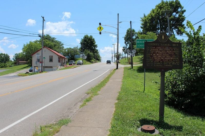
Photographed by Tom Bosse, July 5, 2018
2. County Named, 1823 Marker
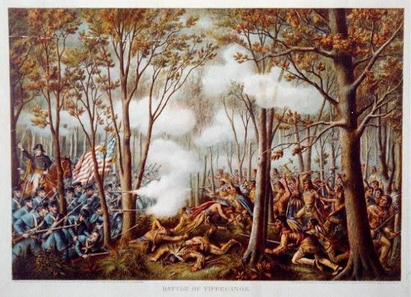
3. The Battle of Tippecanoe
Credits. This page was last revised on September 10, 2018. It was originally submitted on September 9, 2018, by Tom Bosse of Jefferson City, Tennessee. This page has been viewed 463 times since then and 41 times this year. Photos: 1, 2, 3. submitted on September 9, 2018, by Tom Bosse of Jefferson City, Tennessee. • Bill Pfingsten was the editor who published this page.
