Near Emigrant in Park County, Montana — The American West (Mountains)
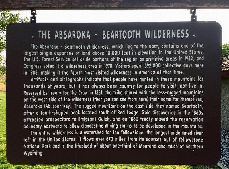
Absaroka - Beartooth Wilderness
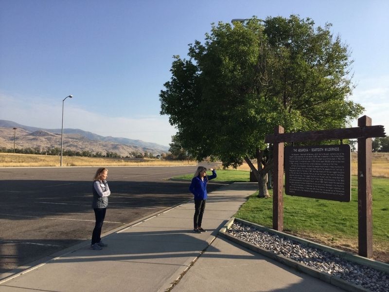
Artifacts and pictographs indicate that people have hunted in these mountains for thousands of years, but it has always been country for people to visit, not live in. Reserved by treaty for the Crow in 1851, the tribe shared with the less-rugged mountains on the west side of the wilderness (that you can see from here) their name for themselves, Absaroka (Ab-soar-key). The rugged mountains on the east side they named Beartooth, after a tooth-shaped peak located south of Red Lodge. Gold discoveries in the 1860s attracted prospectors to Emigrant Gulch, and an 1880 treaty moved the reservation boundary eastward to allow clandestine mining claims to be developed in the mountains.
The entire wilderness is a watershed for the Yellowstone, the longest undammed river left in the United States. It flows over 670 miles from its sources out of Yellowstone National Park and is the lifeblood of about one-third of Montana and much of northern Wyoming.
Topics. This historical marker is listed in these topic lists: Native Americans • Parks & Recreational Areas • Settlements & Settlers.
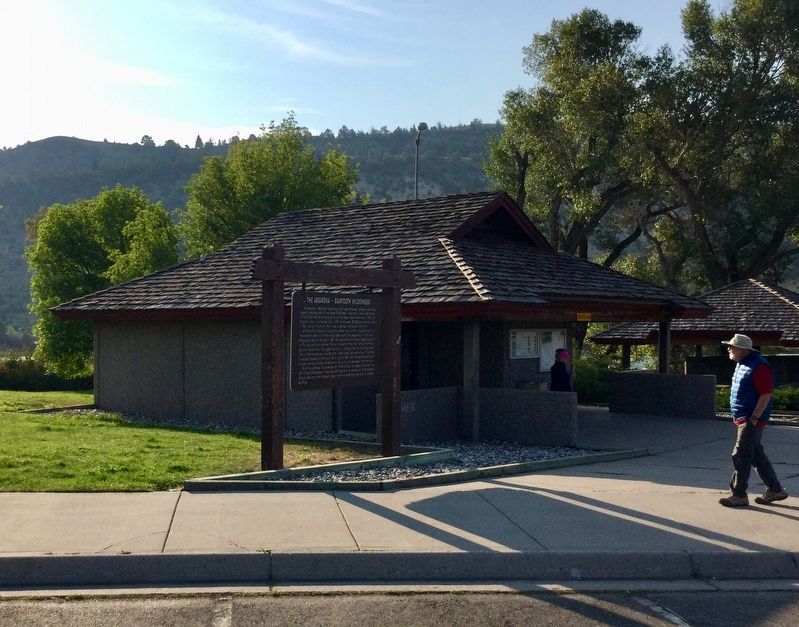
Location. 45° 17.735′ N, 110° 50.066′ W. Marker is near Emigrant, Montana, in Park County. Marker is on U.S. 89, 30 miles south of Interstate 90, on the left when traveling south. Located at the Emigrant Rest Area. Touch for map. Marker is in this post office area: Emigrant MT 59027, United States of America. Touch for directions.
Other nearby markers. At least 5 other markers are within 14 miles of this marker, measured as the crow flies. Hepburn's Mesa (about 300 feet away, measured in a direct line); Emigrant Gulch (approx. 4.2 miles away); Yellowstone Cutthroat Trout (approx. 8.8 miles away); Take a walk through history on the Yankee Jim Trail (approx. 8.8 miles away); Along the Yellowstone River (approx. 13.2 miles away).
Credits. This page was last revised on September 10, 2018. It was originally submitted on September 9, 2018, by Craig Baker of Sylmar, California. This page has been viewed 350 times since then and 27 times this year. Photos: 1, 2, 3. submitted on September 9, 2018, by Craig Baker of Sylmar, California. • Bill Pfingsten was the editor who published this page.


