Portsmouth, England, United Kingdom — Northwestern Europe (the British Isles)
King John’s Dock
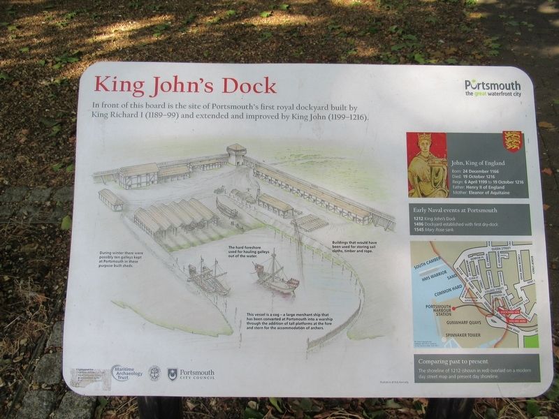
Photographed by Michael Herrick, July 30, 2018
1. King John’s Dock Marker
In front of this board is the site of Portsmouth’s first royal dockyard built by King Richard I (1189-99) and extended and inproved by King John (1199-1216).
John, King of England
Born: 24 December 1166
Died: 19 October 1216
Reign: 6 April 1199 to 19 October 1216
Father: Henry II of England
Mother: Eleanor of Aquitaine
Early Naval events at Portsmouth
1212 King John’s Dock
1496 Dockyard establiahed with first dry-dock
1545 Mary Rose sank
Topics. This historical marker is listed in this topic list: Waterways & Vessels.
Location. 50° 47.79′ N, 1° 6.228′ W. Marker is in Portsmouth, England. It is at the intersection of England Route B2154 and St Georges Square, on the right when traveling north on England Route B2154. Located in St Georges Square. Touch for map. Marker is in this post office area: Portsmouth, England PO1 3BB, United Kingdom. Touch for directions.

Regionally, this marker is in the Hampshire Ports. Globally, it is on the Atlantic Ocean, in the North Atlantic Region, in Europe, in Atlantic Europe, on one of the British Isles, in the
this page online
Other nearby markers. At least 8 other markers are within walking distance of this marker: Isambard Kingdom Brunel (a few steps from this marker); a different marker also named Isambard Kingdom Brunel (a few steps from this marker); a different marker also named Isambard Kingdom Brunel (about 180 meters away, measured in a direct line); GPO K6 Telephone Box (approx. 0.3 kilometers away); The Old Customs House (approx. 0.3 kilometers away); HMS Sirius (approx. 0.3 kilometers away); HMS Vernon Figurehead (approx. 0.3 kilometers away); Hertha Ayrton (approx. 0.3 kilometers away). Touch for a list and map of all markers in Portsmouth.
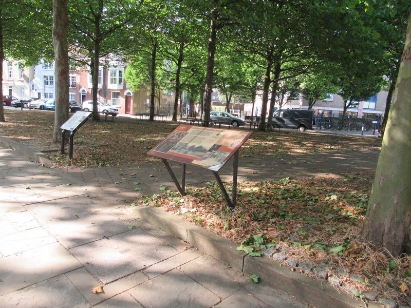
Photographed by Michael Herrick, July 30, 2018
2. King John’s Dock Marker
Closer to the camera is the Isambard Kingdom Brunel marker
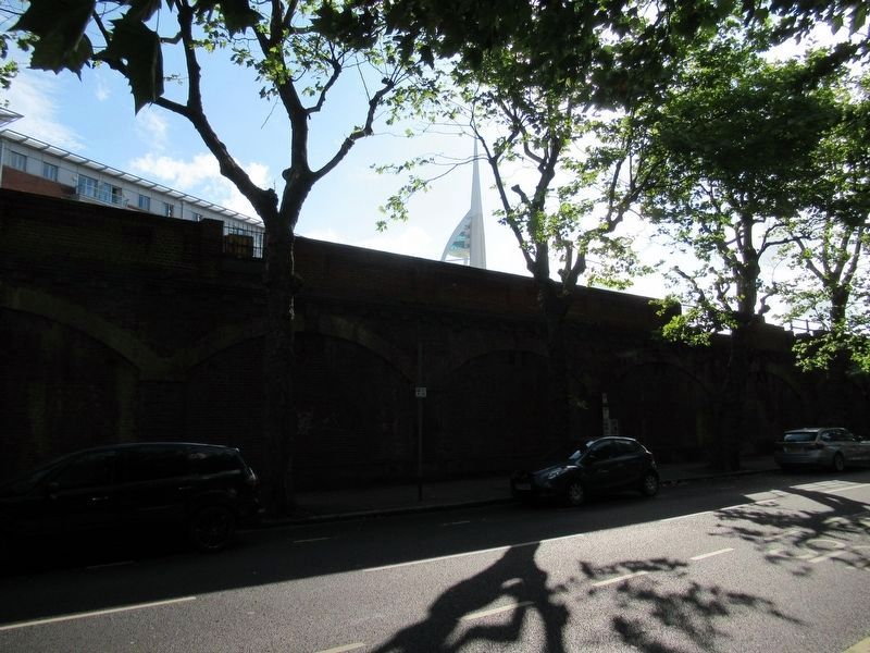
Photographed by Michael Herrick, July 30, 2018
3. Across the street from King John’s Dock Marker
The shoreline was at the street here.
Credits. This page was last revised on January 27, 2022. It was originally submitted on September 10, 2018, by Michael Herrick of Southbury, Connecticut. This page has been viewed 607 times since then and 63 times this year. Photos: 1, 2, 3. submitted on September 10, 2018, by Michael Herrick of Southbury, Connecticut.
