Near Kooskia in Idaho County, Idaho — The American West (Mountains)
Nimiipuum Wetes
Nez Perce Homeland
Inscription.
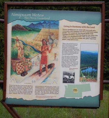
You are standing near one of the well-worn trails and a crossroads of the Nimiipuu (Nez Perce) and Selish (Salish) peoples. Year round, the Mat’alaayma Bands of the Nimiipuu lived here, wintering along the river. Most of the villages were abandoned in the 1700s, but the Nimiipuu continue to use this area to hunt, fish, gather important plants, camp and recreate.
“Wetes is the sacred (ha’wtnin’), supernatural power contained therein, the invisible laws (tamalwit), acknowledged and sought by our people for hundreds and hundreds of years. This is what the Creator (Hunyawatt), gave us, this is where we were placed, and these are his gifts to us.
To us, the earth is more than the land. It is streams and rivers, soil, rocks, and all living things upon the landscape -trees, shrubs, grass, root foods, and berries. This is Wetes. The animals -- birds, fish, mammals, insects - they all have their place as rightful owners. - Kalo’ (The End)” Diane Mallickan, Nez Perce
(sidebar at left)
“At one time Nez Perce land and the Nez Perce people were inseparable, a part of the vast area stretching between the winding waters of the Wallowas and the highest crests of the Bitterroots. Sharing a common language and culture, the Nez Perce moved within this region enjoying what the land provided - roots and berries, fish and game, shelter and clothing and fuel - and derived from it both a sustainable economy and a rich spirituality. Strong families formed villages, and villages the tribe, the Nez Perce people were in harmony - with their land, with their people, with their Creator.” Reflections on the Nez Perce National Historic Trail, Chief Joseph Band of the Nez Perce - 1996
Erected by U.S. Forest Service, Clearwater National Forest.
Topics. This historical marker is listed in this topic list: Native Americans.
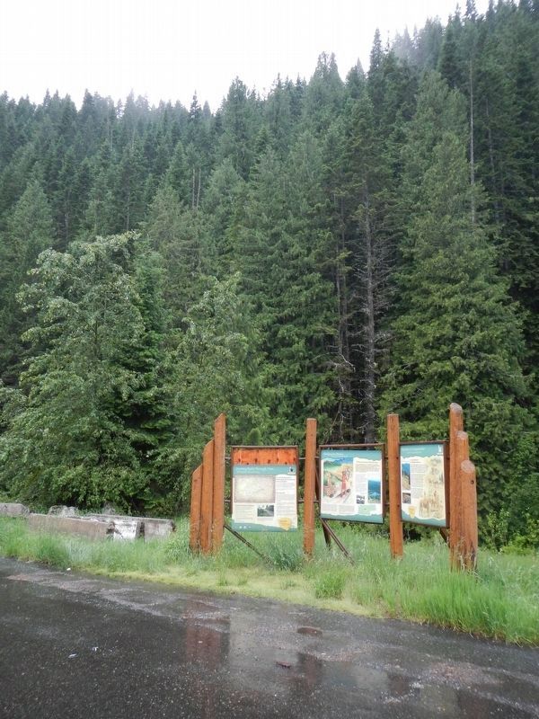
Location. 46° 27.036′ N, 115° 5.046′ W. Marker is near Kooskia, Idaho, in Idaho County. Marker is on U.S. 12 at milepost 140 near Gravey Creek/Saddle Camp Road (Forest Road 107), on the right when traveling west. Touch for map. Marker is in this post office area: Kooskia ID 83539, United States of America. Touch for directions.
Other nearby markers. At least 7 other markers are within 8 miles of this marker, measured as the crow flies. My Name is K'useynisskit (here, next to this marker); Smoking Place (approx. 4.2 miles away); Nímíípuu and Selish (approx. 4.4 miles away); Howard Camp (approx. 5.6 miles away); Welcome to Colgate Licks (approx.
6.9 miles away); Green Swoard Camp (approx. 7½ miles away); Indian Post Office (approx. 8 miles away).
Credits. This page was last revised on September 11, 2018. It was originally submitted on September 11, 2018, by Barry Swackhamer of Brentwood, California. This page has been viewed 207 times since then and 20 times this year. Photos: 1, 2. submitted on September 11, 2018, by Barry Swackhamer of Brentwood, California.

