Near Tevfikiye in Çanakkale Merkez, Çanakkale, Turkey — West Asia or Southeast Europe
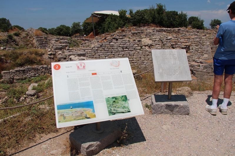
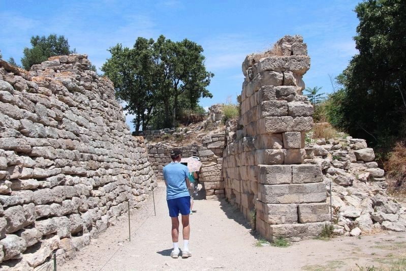
The East Wall
English Text:
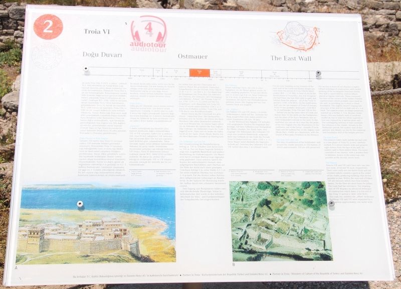
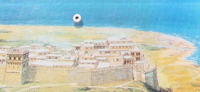
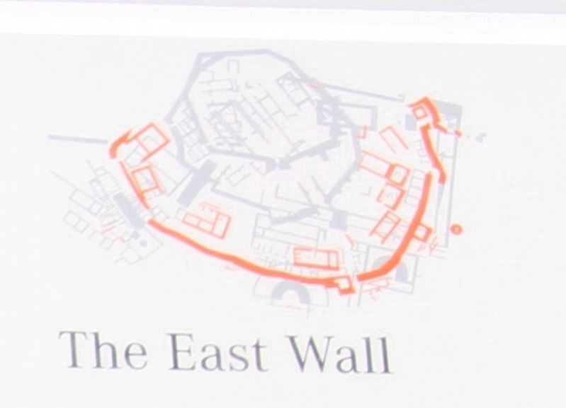
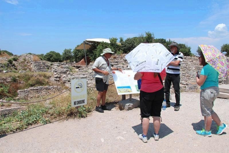
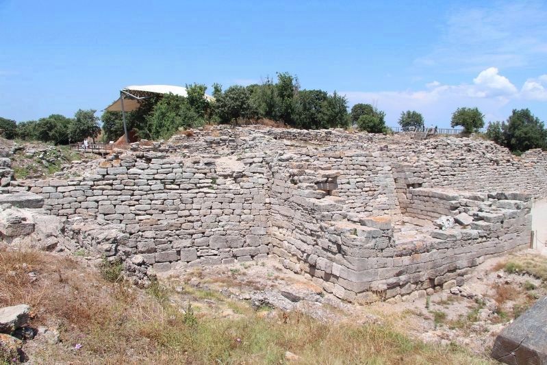
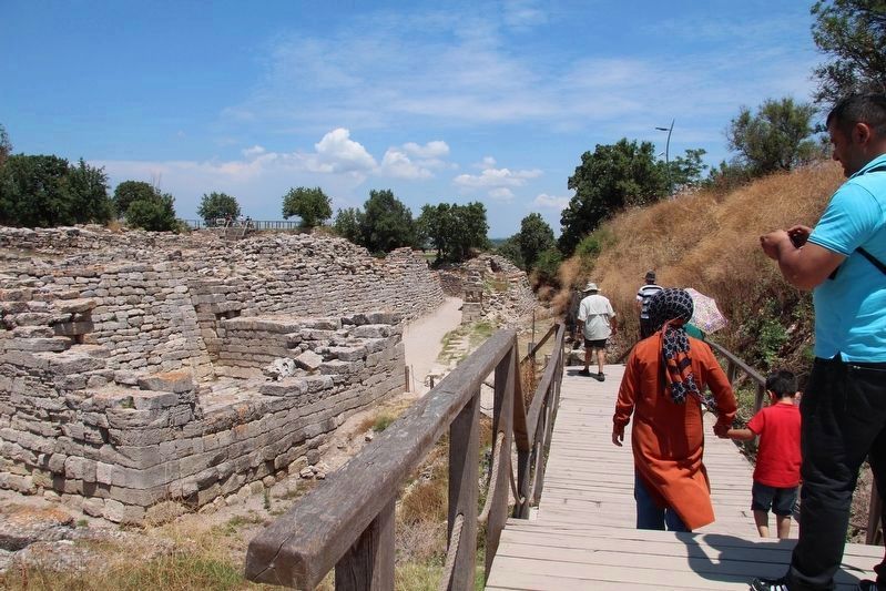
You are now standing on the remains of the outer wall of the Greek and Roman temple precinct from the period of Troia VIII/IX (third century BCE - c. CE 500). In front of you lie the fortifications of Troia/Ilios. You will recognize the East Tower, the East Wall (with its gate), and behind them the palaces - all of the Troia VI period (c.1700-1250 BCE). On the fortification-wall you can see the remains of Troia VII houses. Troia VI was probably destroyed c. 1250 BCE by an earthquake, Troia VIIa and VIIb by fire.
Behind you lay the lower town of Greek and Roman Ilion. To the north are the Dardanelles, and the plain of the Kara Menderes (the ancient Scamander) extends to the west. To the southeast you can see on a clear day the peaks of the Kaz Daglari (the Ida Mountains); to the southwest, one of the burial-mounds (Üvecik Tepe) and the harbour/bay on the Aegean coast (Besik Bay), visible as a depression, with the islands of Bozcaada (Tenedos) in the distance.
The East Wall and Gate
The total circumference of the fortification-wall around the citadel amounts to 550 meters, of which approximately 330 are still preserved.
The section in front of you displays a highly refined technique of construction, with careful working of the rectangular limestone blocks. This wall is subdivided by vertical offsets placed at regular intervals. These continued the lines of the corners of the timber-framed superstructure which probably once stood on the wall, so providing (as it were) a visual, foundation. The slightly inward-sloping substructure of the wall is 6 metres high and 4.5-5 metres thick. The superstructure, no longer preserved, reached up a further 3-4 metres. Besides timber beams, this was initially built of sundried mudbrick, but in time the whole superstructure was replaced by a narrow stone wall. Two overlapping sections of wall constitute the entrance to the citadel. Already in the Hellenistic period, the eastern wall of this gateway was deeply cut into by the retaining and foundation wall of the temple precinct.
The East Tower
This massive tower, built outside the wall only in a late phase of Troia VI, is very carefully worked. It is eleven metres wide and projects eight metres from the face of the wall. Its eastern wall is three metres thick. The tower consisted of two storeys, with a wooden floor in between. Access to the tower was only possible at the second-storey level.
The Palaces
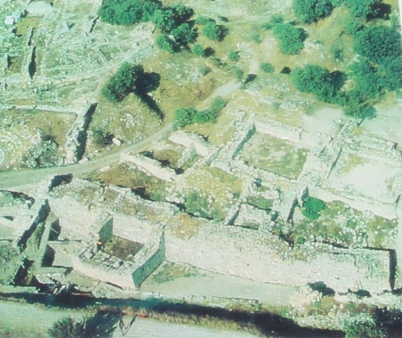
Palaces VIE and VIF each have only one interior room, of 64 and 98 square metres respectively. Their outer walls are one metre thick and are oriented radially towards a point at the center of the citadel,
producing buildings that are trapezoidal in plan. Within the west wall of Palace VIF are recesses which once held wooden beams. On the floor are stone bases for pillars. The room had two entrances. The retaining-wall of VIF displays an advanced technique of construction which dates it to the end of the Troia VI period (c.1400-1250 BCE).
This wall, too, exhibits the "offset" technique. Buildings VIE and VIF were separated by a ..ageway approximately one metre wide.
Erected by The Ministry of Culture of the Republik of Turkey, and the Daimler-Benz AG. (Marker Number 2.)
Topics. This historical marker is listed in these topic lists: Forts and Castles • Parks & Recreational Areas • Settlements & Settlers. A significant historical year for this entry is 1250.
Location. 39° 57.423′ N, 26° 14.373′ E. Marker is near Tevfikiye, Çanakkale, in Çanakkale Merkez. Marker can be reached from Tevfikiye Yolu just west of Izmir Çanakkale Yolu (Route E87) when traveling west. This marker is located on the grounds of a world famous Archaeological Park, along the walking tour route through the archaeological ruins. Touch for map. Marker is in this post office area: Tevfikiye, Çanakkale 17100, Turkey. Touch for directions.
Other nearby markers. At least 4 other markers are within walking distance of this marker. The Pithos Garden (within shouting distance of this marker); Citadel Wall
(within shouting distance of this marker); The Northern Bastion (about 90 meters away, measured in a direct line); The Temple of Athena (about 90 meters away).
More about this marker. The present day Archaeological Site of Troy, where this marker is located, has been recognized as a UNESCO World Heritage Centre site.
The timeline at the top of this marker indicates that the information discussed in this marker's text features site ruins from the period of Troia (Troy) VI, which spanned 1700-1250 BC.
Also see . . .
1. Archaeological Site of Troy - UNESCO World Heritage Centre. This is a link to additional on-line information regarding this site. (Submitted on September 13, 2018, by Dale K. Benington of Toledo, Ohio.)
2. Troy - Wikipedia. This is a link to additional on-line information regarding this site. (Submitted on September 13, 2018, by Dale K. Benington of Toledo, Ohio.)
3. Archaeological Site of Troy, Unesco | Go Turkey Tourism. This is a link to additional on-line information regarding this site. (Submitted on September 13, 2018, by Dale K. Benington of Toledo, Ohio.)
4. Troy | Turkish Archaeological News. This is a link to additional on-line information regarding this site. (Submitted on September 13, 2018, by Dale K. Benington of Toledo, Ohio.)
Credits. This page was last revised on February 1, 2022. It was originally submitted on September 12, 2018, by Dale K. Benington of Toledo, Ohio. This page has been viewed 161 times since then and 19 times this year. Photos: 1, 2, 3. submitted on September 12, 2018, by Dale K. Benington of Toledo, Ohio. 4. submitted on September 13, 2018, by Dale K. Benington of Toledo, Ohio. 5, 6, 7. submitted on September 12, 2018, by Dale K. Benington of Toledo, Ohio. 8, 9. submitted on September 13, 2018, by Dale K. Benington of Toledo, Ohio.
