
Near Lolo in Missoula County, Montana — The American West (Mountains)
A Crossroads of Culture
Photographed by Barry Swackhamer, May 10, 2018
1. A Crossroads of Culture Marker
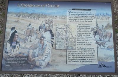
You are standing at the heart of a well-used campsite and gathering place used by people for thousands of years. Traveling along time-worn trails from the four directions, families, hunters and explorers came to rest here at the place the Salish people called Tmsmli, (the place of no salmon).
On these plains at the base of the Bitterroot Mountains, people camped, traded and strengthened important alliances with other tribes. Over the years, people from the Salish, Pend d’Oreille and Nez Perce Tribes came to appreciate Tmsmli for its plentiful game, edible and medicinal plants and as a place of sanctuary and friendship.
From here, people traveling west followed tree blazes and rock piles called cairns which were part of the well-worn trail the Salish call Naptnsisa, or the Road to the Nez Perce. Today this ancient route is known as the Nez Perce or Lolo Trail. Rock cairns continued east of here, marking the route known by the Nez Perce as the K’useyneisskit or the Road to the Buffalo.
Led by a Shoshone guide, the Expedition came to rest here on September 9, 1805. As they prepared
this page online
Erected by Montana State Parks, National Park Service.
Topics. This historical marker is listed in these topic lists: Exploration • Indigenous Peoples and Communities. A significant historical date for this entry is June 30, 1806.
Location. 46° 45.156′ N, 114° 5.37′ W. Marker is near Lolo, Montana, in Missoula County. It can be reached from Lolo Creek Road (U.S. 12) near U.S. 93. Touch for map. Marker is at or near this postal address: 6717 Lolo Creek Road, Lolo MT 59847, United States of America. Touch for directions.

Regionally, this marker is in Western Montana, in Glacier Country, and in Greater Missoula. It is also in the American Mountain West and in the Lewis & Clark Corridor. Globally, it is in North America, the Rocky Mountains, the Western Hemisphere, the Western World, and the Anglosphere. Historically, it finds itself in what was once Rupert’s Land and also the Louisiana Purchase.
Other nearby markers. At
Photographed by Barry Swackhamer, May 10, 2018
2. A Crossroads of Culture Marker
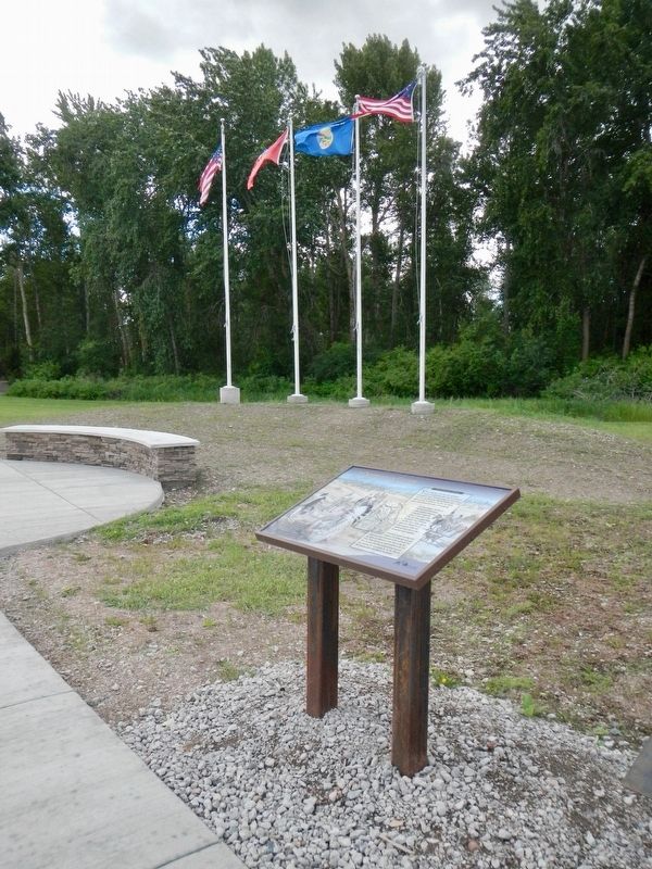
More about this marker. This marker is in Traveler's Rest State Park near the flagpoles.
Credits. This page was last revised on September 13, 2018. It was originally submitted on September 13, 2018, by Barry Swackhamer of Brentwood, California. This page has been viewed 435 times since then and 24 times this year. Photos: 1, 2. submitted on September 13, 2018, by Barry Swackhamer of Brentwood, California.
