Near Lolo in Missoula County, Montana — The American West (Mountains)
Outwitted and Outflanked
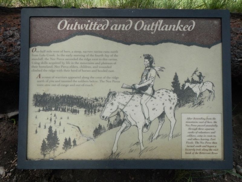
Photographed by Barry Swackhamer, May 10, 2018
1. Outwitted and Outflanked Marker
A screen of warriors appeared along the crest of the ridge north of you and taunted the soldiers below. The Nez Perce were now out-of-range and out-of-reach.
After descending from the mountains east of here, the Nez Perce passed peacefully through three separate ranks of volunteers and soldiers, some in route to, and others leaving, Fort Fizzle. The Nez Perce then turned south and began a leisurely trek along the west bank of the Bitterroot River.
Erected by U.S. Forest Service, Lolo National Forest.
Topics and series. This historical marker is listed in these topic lists: Forts and Castles • Wars, US Indian. In addition, it is included in the The Nez Perce Trail series list.
Location. 46° 44.778′ N, 114° 10.392′ W.
this page online

Regionally, this marker is in Western Montana, in Glacier Country, and in Greater Missoula. It is also in the American Mountain West and in the Lewis & Clark Corridor. Globally, it is in North America, the Rocky Mountains, the Western Hemisphere, the Western World, and the Anglosphere. Historically, it finds itself in what was once Rupert’s Land and also the Louisiana Purchase.
Other nearby markers. At least 8 other markers are within 4 miles of this marker, measured as the crow flies: Pauses and Parleys (here, next to this marker); Taking Cover… (a few steps from this marker); The "Soldiers' Corral" (a few steps from this marker); Fort Fizzle (within shouting distance of this marker); Lewis and Clark on Lolo Creek (within shouting distance of this marker); The Nez Perce Sikum (approx. 2½ miles away); A Crossroads of Culture (approx.
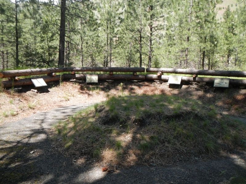
Photographed by Barry Swackhamer, May 10, 2018
2. Outwitted and Outflanked Marker
More about this marker. This marker is located at Fort Fizzle Historic Site Picnic Area.
Credits. This page was last revised on September 13, 2018. It was originally submitted on September 13, 2018, by Barry Swackhamer of Brentwood, California. This page has been viewed 414 times since then and 42 times this year. Photos: 1, 2. submitted on September 13, 2018, by Barry Swackhamer of Brentwood, California.
