Near Tevfikiye in Çanakkale Merkez, Çanakkale, Turkey — West Asia or Southeast Europe
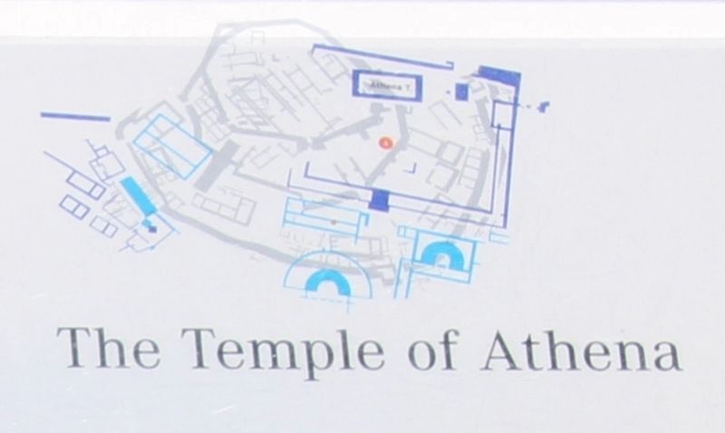
The Temple of Athena
English Text:
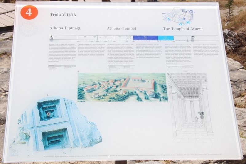
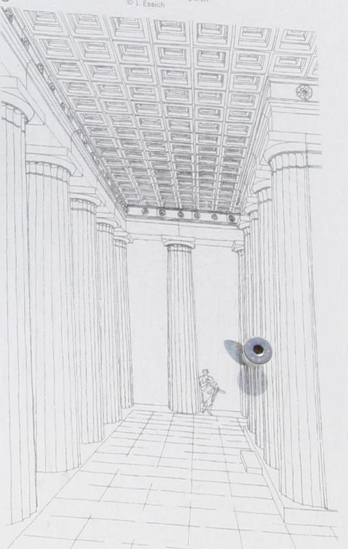
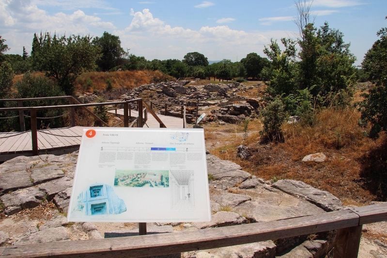
Where you are now standing there once lay the forecourt of the temple of Athena belonging to the Greek and Roman city Ilion. Looking down you can see in the center of the mound a wide area at a lower level. This was excavated by Schliemann and Dörpfeld. The marble architectural fragments lying there originally belonged to the temple of Athena. The temple, whose base measured 36 metres x 16 metres, was surrounded by a Doric colonnade supporting a coffered ceiling. Outside, on the entablature, were metopes (reliefs) the most famous of which shows Apollo/Helios. This is now displayed in Berlin.
It is thought that the temple was built by Lysimachus, one of Alexander the Great's successors, around 300 BCE. It was restored in Roman times, probably by order of the Emperor Augustus (31 BCE - CE 14). In Greek and Roman times the temple was the focal point of a great annual festival in honour of the goddess Athena. This festival was marked by sacrifices and athletic contests.
Erected by The Ministry of Culture of the Republik of Turkey, and the Daimler-Benz AG. (Marker Number 4.)
Topics. This historical marker is listed in these topic lists: Churches & Religion • Forts and Castles • Parks & Recreational Areas.
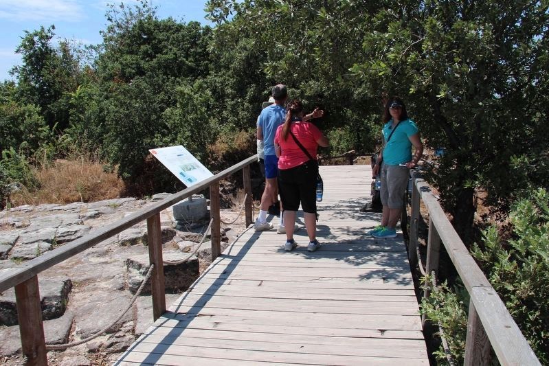
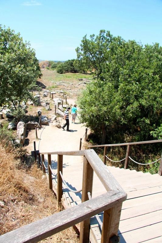
Location. 39° 57.467′ N, 26° 14.333′ E. Marker is near Tevfikiye, Çanakkale, in Çanakkale Merkez. Marker is on Tevfikiye Yolu just west of Izmir Çanakkale Yolu (Route E87) when traveling west. This marker is located on the grounds of a world famous Archaeological Park, along the walking tour route through the archaeological ruins. Touch for map. Marker is in this post office area: Tevfikiye, Çanakkale 17100, Turkey. Touch for directions.
Other nearby markers. At least 4 other markers are within walking distance of this marker. The Northern Bastion (within shouting distance of this marker); Citadel Wall (within shouting distance of this marker); The East Wall (about 90 meters away, measured in a direct line); The Pithos Garden (about 150 meters away).
More about this marker. The present day Archaeological Site of Troy, where this marker is located, has been recognized as a UNESCO World Heritage Centre site.
The timeline at the top of this marker indicates that the information discussed in this marker's text features site ruins from the period of Troia (Troy) VIII/IX, which spanned 1000 BCE-500 CE.
Also see . . .
1. Archaeological Site of Troy - UNESCO World Heritage Centre. This is a link to additional on-line information regarding this site. (Submitted on September 14, 2018, by Dale K. Benington of Toledo, Ohio.)
2. Troy - Wikipedia. This is a link to additional on-line information regarding this site. (Submitted on September 14, 2018, by Dale K. Benington of Toledo, Ohio.)
3. Archaeological Site of Troy, Unesco | Go Turkey Tourism. This is a link to additional on-line information regarding this site. (Submitted on September 14, 2018, by Dale K. Benington of Toledo, Ohio.)
4. Troy | Turkish Archaeological News. This is a link to additional on-line information regarding this site. (Submitted on September 14, 2018, by Dale K. Benington of Toledo, Ohio.)
Credits. This page was last revised on January 8, 2019. It was originally submitted on September 13, 2018, by Dale K. Benington of Toledo, Ohio. This page has been viewed 165 times since then and 30 times this year. Photos: 1, 2, 3, 4, 5, 6. submitted on September 13, 2018, by Dale K. Benington of Toledo, Ohio. 7. submitted on October 9, 2018, by Dale K. Benington of Toledo, Ohio.
