Near Tevfikiye in Çanakkale Merkez, Çanakkale, Turkey — West Asia or Southeast Europe
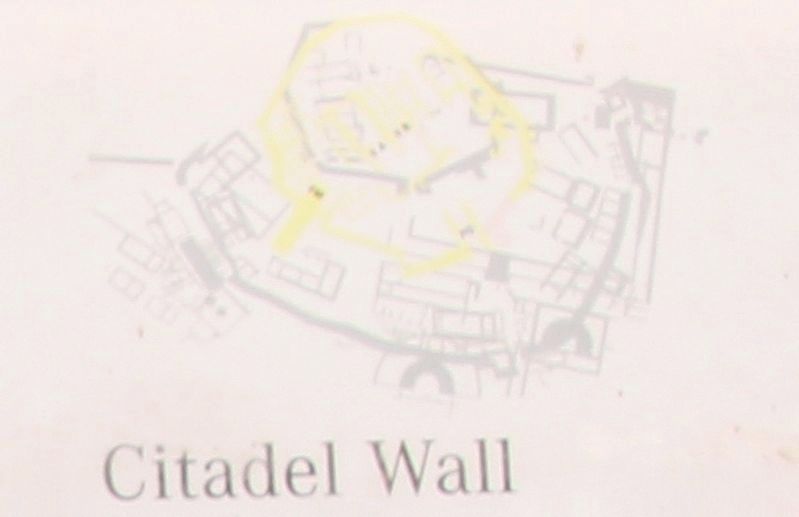
Citadel Wall
English Text:
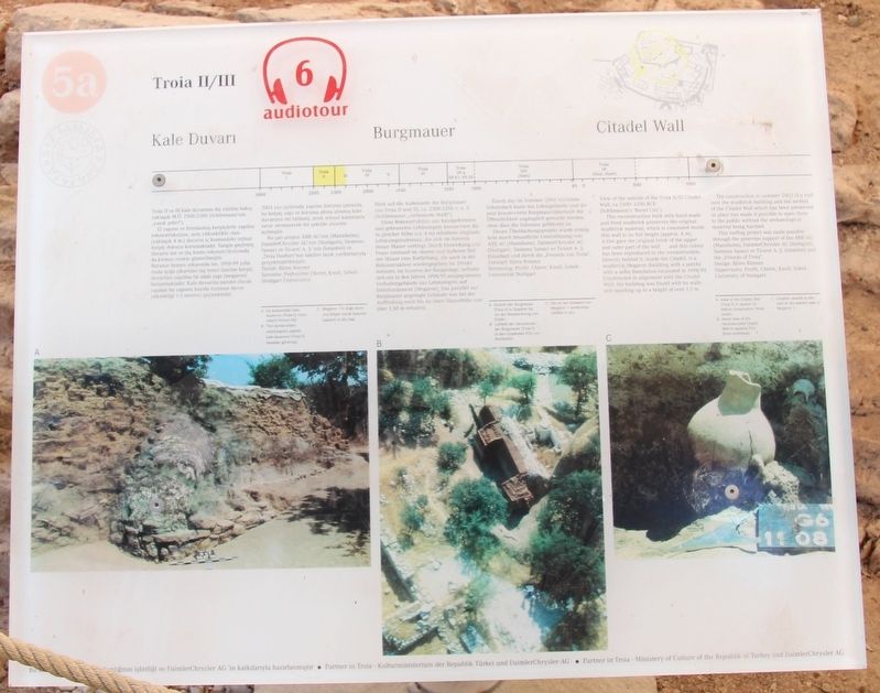
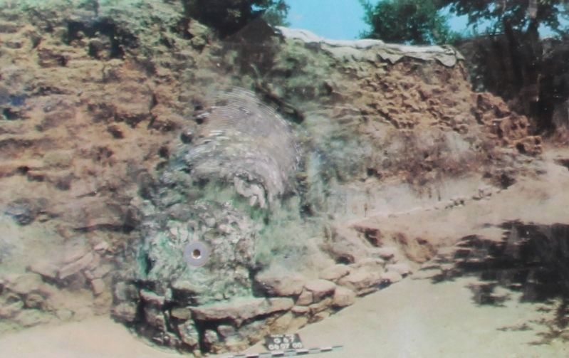
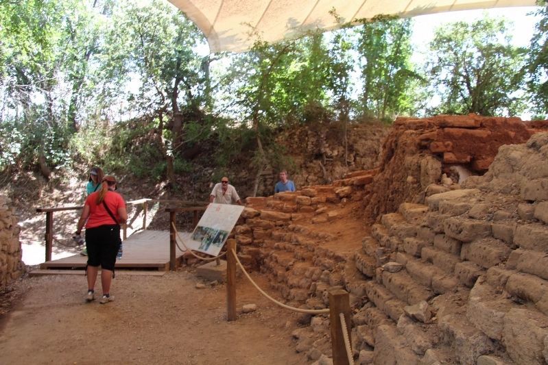
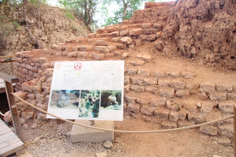
View of the outside of the Troia II/III Citadel Wall, ca 2500-2200 BCE.
(Schliemann's 'Burnt City').
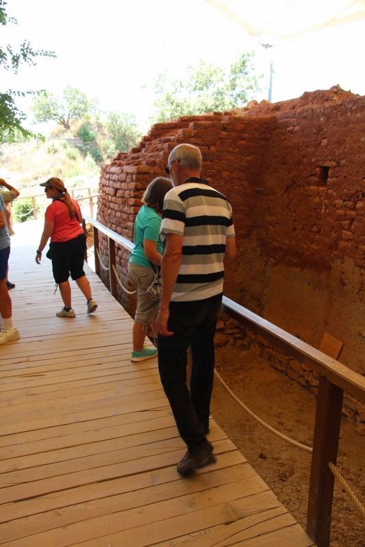
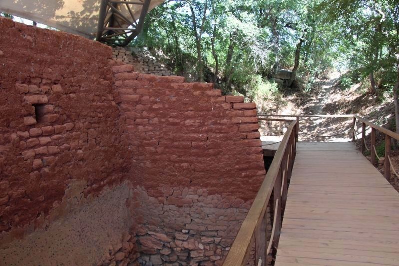
This reconstruction built with hand made and fired mudbrick preserves the original mudbrick material, which is concealed inside this wall to its full height (approximately 4 meters).
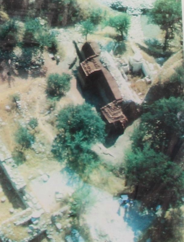
A fire gave the original brick of the upper and outer part of the wall ... and this colour has been reproduced in the reconstruction. Directly behind it, inside the Citadel, is a mudbrick Megaron (building with a porch) with a stone foundation excavated in 1998/99. Constructed in alignment with the Citadel Wall, the building was found with its walls still standing up to a height of over 1.5 metres.
The construction in summer 2003 of a roof over the mudbrick building and the section of the Citadel Wall which has been preserved in place has made it possible to open them to the public without the archaeological material being harmed.
This roofing project was made possible through the generous support of the ABB AG (Mannheim), DaimlerChrysler AG (Stuttgart), Siemens Sanayl ve Ticaret A. S. (Istanbul) and the "Friends of Troia".
Design: Björn Rimner
Supervisors: Professors Cheret, Knoll, Sobek
University of Stuttgart
Erected by The Ministry of Culture of the Republik of Turkey, and the Daimler-Benz AG. (Marker Number 5a.)
Topics. This historical marker is listed in these topic lists: Forts and Castles • Parks & Recreational Areas • Settlements & Settlers.
Location. 39° 57.447′ N, 26° 14.331′ E. Marker is near Tevfikiye, Çanakkale, in Çanakkale Merkez. Marker can be reached from Tevfikiye Yolu just west of Izmir Çanakkale Yolu (Highway E87) when traveling west. This marker is located on the grounds of a world famous Archaeological Park, along the tour route through the archaeological ruins. Touch for map. Marker is in this post office area: Tevfikiye, Çanakkale 17100, Turkey. Touch for directions.
Other nearby markers. At least 4 other markers are within walking distance of this marker. The Temple of Athena (within shouting distance of this marker); The Northern Bastion (within shouting distance of this marker); The East Wall (within shouting distance of this marker); The Pithos Garden (about 120 meters away, measured in a direct line).
More about this marker. The present day Archaeological Site of Troy, where this marker is located, has been recognized as a UNESCO World Heritage Centre site.
The timeline at the top of this marker indicates that the information discussed in this marker's text features site
ruins from the period of Troia (Troy) II/III, which spanned 2500-2200 BC.
Also see . . .
1. Archaeological Site of Troy - UNESCO World Heritage Centre. This is a link to additional on-line information regarding this site. (Submitted on October 9, 2018, by Dale K. Benington of Toledo, Ohio.)
2. Troy - Wikipedia. This is a link to additional on-line information regarding this site. (Submitted on October 9, 2018, by Dale K. Benington of Toledo, Ohio.)
3. Archaeological Site of Troy, Unesco | Go Turkey Tourism. This is a link to additional on-line information regarding this site. (Submitted on October 9, 2018, by Dale K. Benington of Toledo, Ohio.)
4. Troy | Turkish Archaeological News. This is a link to additional on-line information regarding this site. (Submitted on October 9, 2018, by Dale K. Benington of Toledo, Ohio.)
Credits. This page was last revised on February 1, 2022. It was originally submitted on September 15, 2018, by Dale K. Benington of Toledo, Ohio. This page has been viewed 151 times since then and 13 times this year. Photos: 1, 2, 3, 4, 5, 6, 7, 8. submitted on October 9, 2018, by Dale K. Benington of Toledo, Ohio.
