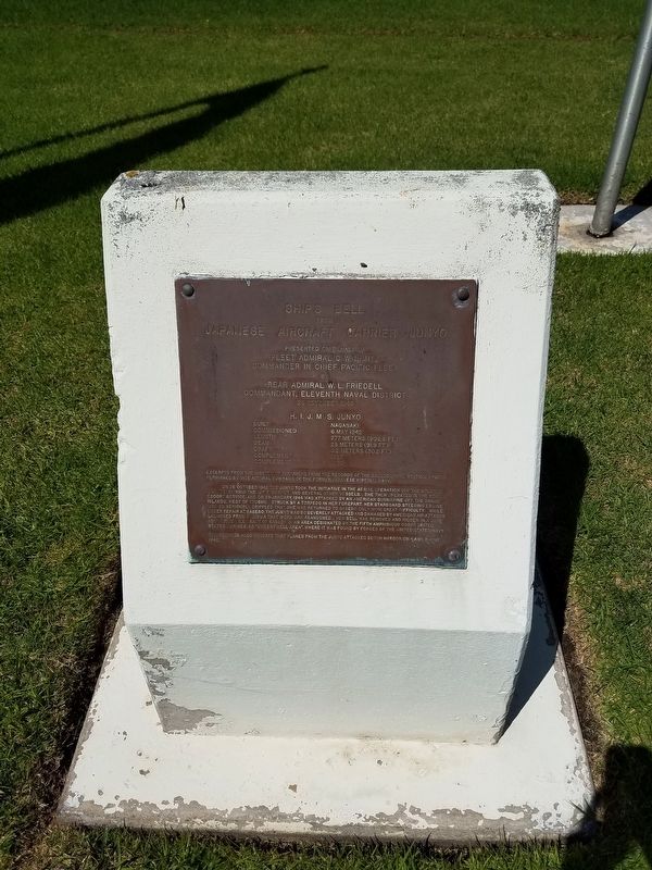
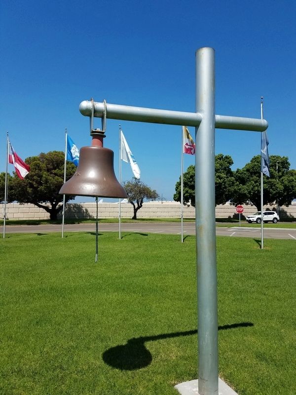
Ships Bell
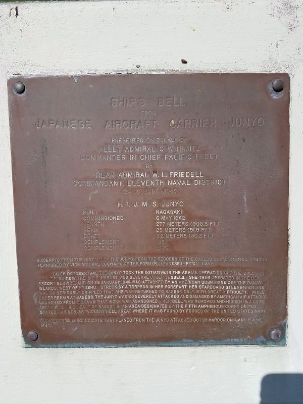
Japanese Aircraft Carrier Junyo
Fleet Admiral C.W. Nimitz
Commander in Chief Pacific Fleet
by
Rear Admiral W.L. Friedell
Commandant, Eleventh Naval District
24 November 1945
H.I.J.M.S. Junyo
Built Nagasaki
Commissioned 6 May 1942
Length 277 Meters (908.8 ft.)
Beam 28 Meters (91.9 ft.)
Draft 9.2 Meters (30.2 ft.)
Complement 1367
Complement (Maximum) 1800
On 26 October 1942 the Junyo took the initiative in the aerial operation off the Solomon Islands, sinking the U.S.S. Hornet and several other vessels. She then operated in the sea escort service, and on 29 January 1944 was attacked by an American submarine off the Danjo Islands, West of Kyushu. Struck by a torpedo in her forepart, her starboard steering engine was so seriously crippled that she was returned to Sasebo only with great difficulty. While under repair at Sasebo, the Junyo was so severely attacked and damaged by American air attacks launched from Okinawa that work was abandoned. Her bell was removed and hidden in a cave about five miles East of Sasebo in an area designated by the Fifth Amphibious Corps United State Marines
as "Violent Hell Area", where it was found by forces of the United States Navy.
Our records also indicated that planes from the Junyo attacked Dutch Harbor on 4 and 5 June 1942.
Erected 1945.
Topics and series. This historical marker is listed in these topic lists: War, World II • Waterways & Vessels. In addition, it is included in the Historic Bells series list. A significant historical date for this entry is January 29, 1944.
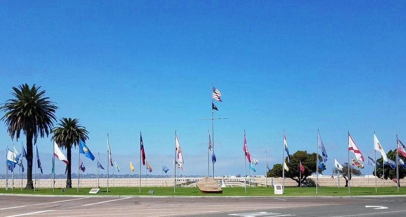
Location. 32° 42.183′ N, 117° 11.646′ W. Marker is in Coronado, California, in San Diego County. Marker is on McCain Boulevard, on the left when traveling north. North Island Naval Station. Touch for map. Marker is at or near this postal address: McCain Boulevard, San Diego CA 92135, United States of America. Touch for directions.
Other nearby markers. At least 8 other markers are within 2 miles of this marker, measured as the crow flies. The World's First Seaplane Flight (within shouting distance of this marker); C-2A Greyhound (about 300 feet away, measured in a direct line); H-46 40 Years of Service (about 500 feet away); Vice Admiral Edward H. Martin (approx. ¼ mile away); James B. Stockdale (approx. 0.6 miles away); First Military Flying School (approx. one mile away); Carrothers Court (approx. 1.2 miles away); San Diego: Birthplace of Naval Aviation (approx. 1.2 miles away). Touch for a list and map of all markers in Coronado.
Additional commentary.
1. Actual origin of this bell
Since the visible inscription on the bell reads "U.S." it is highly doubtful that this bell was actually made for a Japanese warship.
Credits. This page was last revised on August 17, 2020. It was originally submitted on September 15, 2018, by Denise Boose of Tehachapi, California. This page has been viewed 353 times since then and 30 times this year. Photos: 1, 2, 3, 4. submitted on September 15, 2018, by Denise Boose of Tehachapi, California. • Andrew Ruppenstein was the editor who published this page.


