Near Springfield in Robertson County, Tennessee — The American South (East South Central)
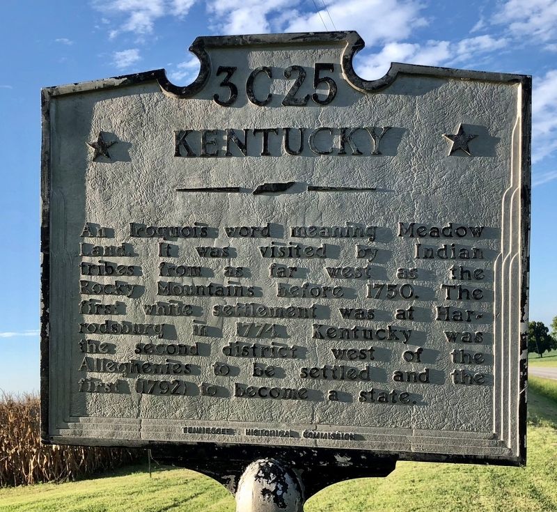
Tennessee / Kentucky
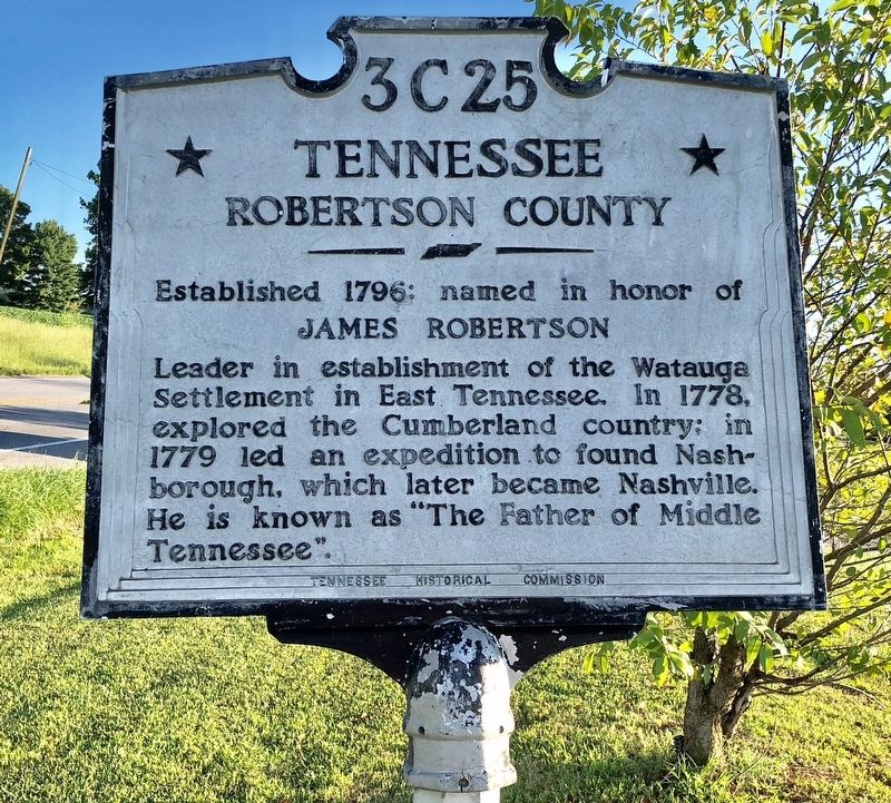
Robertson County
Established 1796: named in honor of
James Robertson
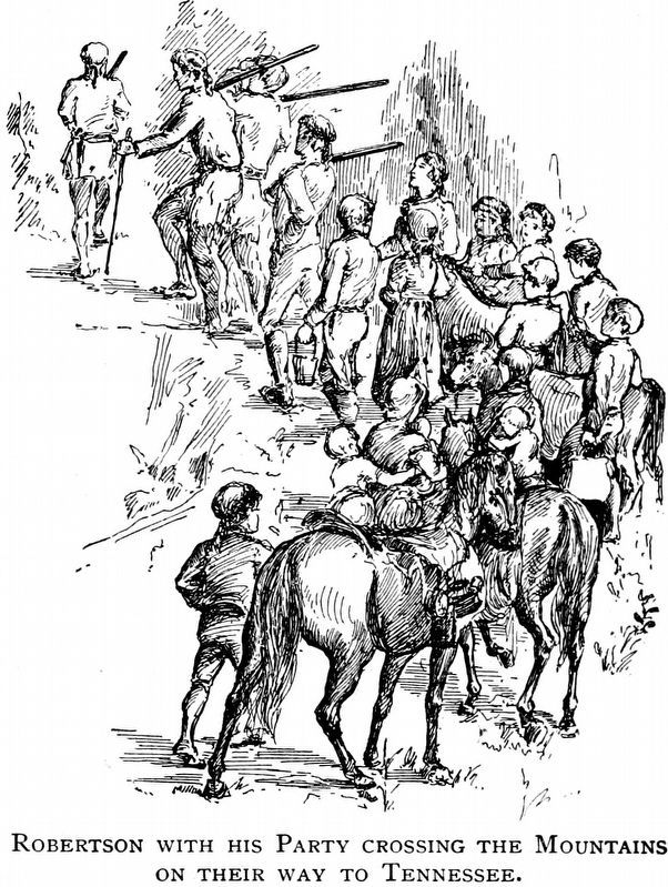
Leader in establishment of the Watauga Settlement in East Tennessee. In 1778, explored the Cumberland country; in 1779 led an expedition to found Nashborough, which later became Nashville. He is known as "The Father of Middle Tennessee".
Reverse
An Iroquois word meaning Meadow Land. It was visited by Indian tribes from as far west as the Rocky Mountains before 1750. The first white settlement was at Harrodsburg in 1774. Kentucky was the second district west of the Alleghenies to be settled and the first (1792) to become a state.
Erected by Tennessee Historical Commission. (Marker Number 3C 25.)
Topics and series. This historical marker is listed in these topic lists: Native Americans • Political Subdivisions • Settlements & Settlers. In addition, it is included in the Tennessee Historical Commission series list. A significant historical year for this entry is 1796.
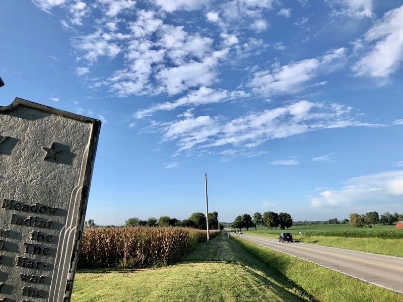
Location. 36° 38.43′ N, 86° 51.3′ W. Marker is near Springfield, Tennessee, in Robertson County. Marker is on Tennessee Route 49, half a mile south of State Line Road, on the right when traveling south. Located at the Historic Peach Blossom Farm. Touch for map. Marker is at or near this postal address: 6538 TN-49, Springfield TN 37172, United States of America. Touch for directions.
Other nearby markers. At least 8 other markers are within 10 miles of this marker, measured as the crow flies. Dromgoole's Station (approx. 1˝ miles away in Kentucky); Jackson-Dickinson Duel (approx. 1.9 miles away in Kentucky); Boyhood Home, 1793-1802 (approx. 2 miles away in Kentucky); Red River Meeting House (approx. 4.3 miles away in Kentucky); Site of The Red River Meeting House (approx. 6 miles away in Kentucky); Brodnax-Conn House (approx. 6 miles away in Kentucky); Springfield (approx. 9.2 miles away); Springfield Historic District (approx. 9.2 miles away). Touch for a list and map of all markers in Springfield.
Credits. This page was last revised on March 21, 2019. It was originally submitted on September 15, 2018, by Mark Hilton of Montgomery, Alabama. This page has been viewed 420 times since then and 28 times this year. Photos: 1, 2, 3. submitted on September 15, 2018, by Mark Hilton of Montgomery, Alabama. 4. submitted on February 23, 2019, by Allen C. Browne of Silver Spring, Maryland.


