Near Springfield in Robertson County, Tennessee — The American South (East South Central)
Saint Michael's Mission
Photographed by Mark Hilton, September 15, 2018
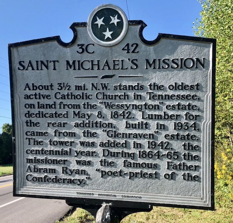
1. Saint Michael's Mission Marker
Erected by Tennessee Historical Commission. (Marker Number 3C 42.)
Topics and series. This historical marker is listed in these topic lists: Religion & Religious Structures • War, US Civil. In addition, it is included in the Tennessee Historical Commission series list. A significant historical date for this entry is May 8, 1842.
Location. 36° 27.572′ N, 86° 57.189′ W. Marker is near Springfield, Tennessee, in Robertson County. It is at the intersection of Tennessee Route 49 and Flewellyn Road ( Route 257), on the right when traveling south on Tennessee Route 49. Touch for map. Marker is in this post office area: Springfield TN 37172, United States of America. Touch for directions.

Regionally, this marker is in Middle Tennessee, in the Highland Rim, and in Greater
this page online
Other nearby markers. At least 8 other markers are within 5 miles of this marker, measured as the crow flies: Mount Zion (within shouting distance of this marker); Crockett's Station (approx. 0.8 miles away); Battle Creek Massacre (approx. 1.7 miles away); Nave's Crossroads (approx. 1.7 miles away); Peoples-Tucker School (approx. 4.8 miles away); Springfield Historic District (approx. 4.9 miles away); Morgan's Return (approx. 4.9 miles away); Springfield Historic District (approx. 5 miles away). Touch for a list and map of all markers in Springfield.
Photographed by Mark Hilton, September 15, 2018
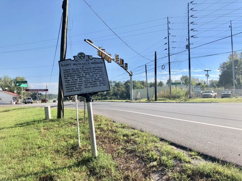
2. The view north from the Saint Michael's Mission Marker.
Photographed by Mark Hilton, September 15, 2018
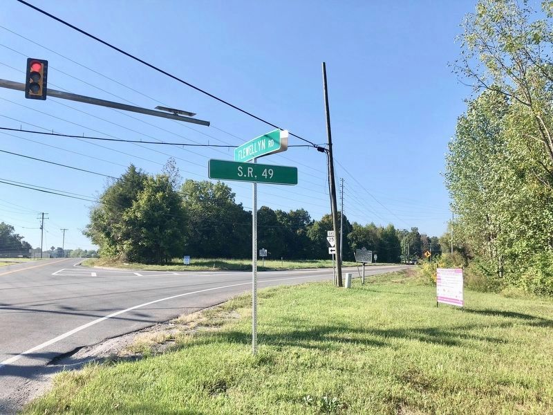
3. Saint Michael's Mission Marker is to right of telephone pole.
Photographed by Duane Marsteller, March 1, 2020
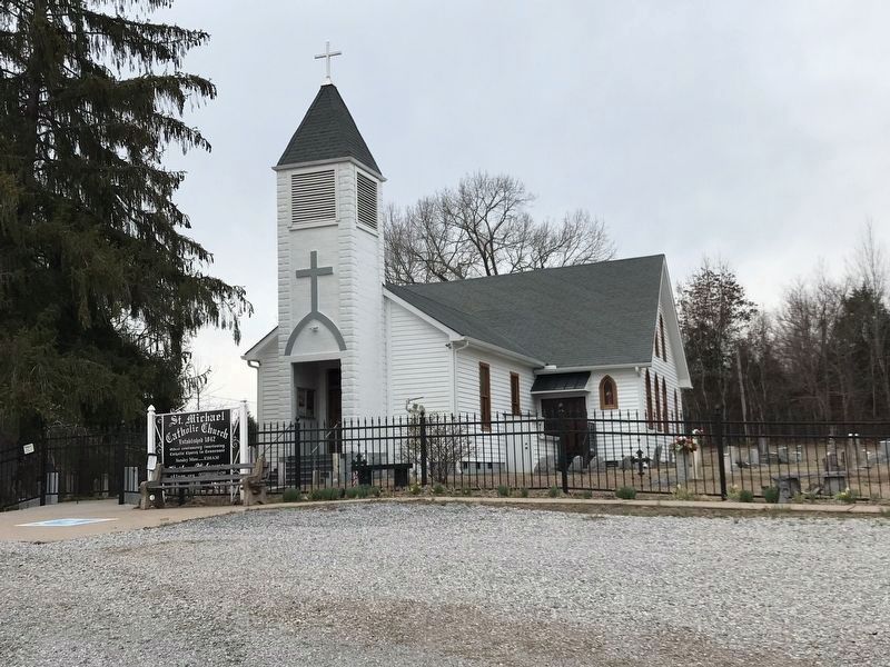
4. Saint Michael Catholic Church
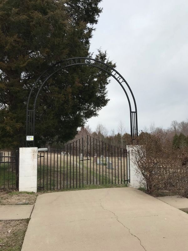
Photographed by Duane Marsteller, March 1, 2020
5. Entrance to Saint Michael Catholic Church cemetery
Credits. This page was last revised on January 25, 2021. It was originally submitted on September 16, 2018, by Mark Hilton of Montgomery, Alabama. This page has been viewed 920 times since then and 72 times this year. Photos: 1, 2, 3. submitted on September 16, 2018, by Mark Hilton of Montgomery, Alabama. 4, 5. submitted on March 1, 2020, by Duane and Tracy Marsteller of Murfreesboro, Tennessee.
