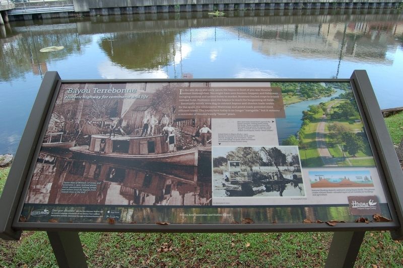
Bayou Terrebonne
Historic highway for commerce and life
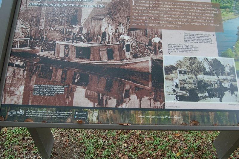
In the late 1800s and early 1900s, the bayou in front of you was Houma's busiest thoroughfare. You might have seen hunters, trappers and fisherman bringing seafood and animal hides to market. Boatmen hauled crops to inland railroad hubs. Profiteers used the bayous to reach the burgeoning oil fields.
Eventually canals were dug to connect bayous and shorten trade routes. By the 1930s, the Intracoastal Waterway and paved roads provided more efficient travel. The bayou here today is no longer "navigable," but it remains a reminder of Houma's early "boom" years.
Photo captions left bottom to top right -
Oyster boat of William J.P. Cenac and associates. c. 1910. Seafood plants, stores, plantations, fishing camps, and homes lined the bayous from inlans cities to the Gulf.
Seasonal flooding deposits sediments along bayou banks. This process creates natural levees - elevated layers of soil suitable for buildings and agricultural.
School boat on Bayou Black, c. 1920. Residents traveled by boat for work , school, church, shopping, and recreation. Some even took refuge on boats when hurricanes threatened to sweep houses away.
Men and mules towed boats against the bayou currents, creating paths along the banks. These cordelles evolved into roads that parallel the bayous today. Bayou, a French version of the Choctaw Indian word
bayuk, means "Small Stream."Erected by Houma Area Convention and Visitors Bureau.
Topics. This historical marker is listed in these topic lists: Industry & Commerce • Waterways & Vessels.
Location. 29° 35.906′ N, 90° 43.211′ W. Marker is in Houma, Louisiana, in Terrebonne Parish. Marker can be reached from West Park Avenue north of Barrow Street (State Highway 182), on the left when traveling north. Touch for map. Marker is at or near this postal address: 7910 West Park Avenue, Houma LA 70364, United States of America. Touch for directions.
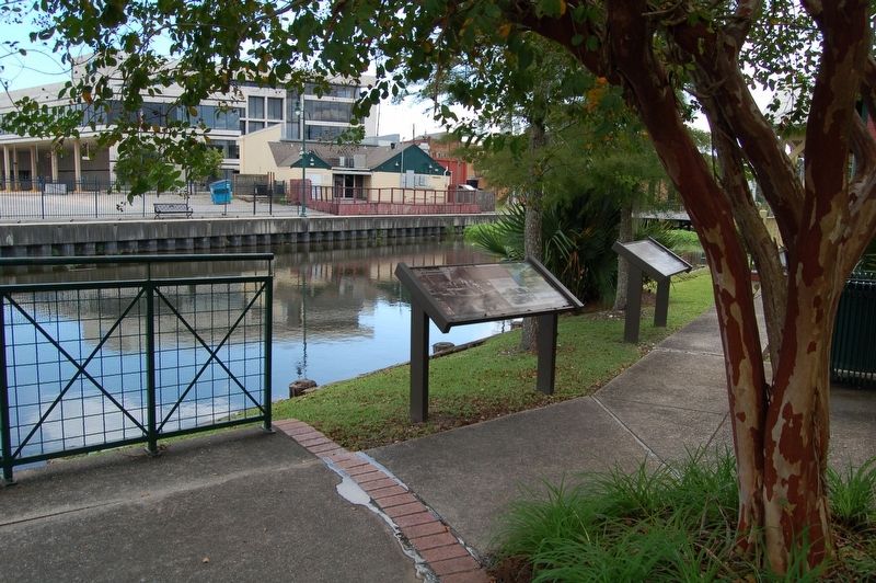
Other nearby markers. At least 8 other markers are within walking distance of this marker. When Oysters Were King (here, next to this marker); The Great Acadian Upheaval (a few steps from this marker); The Grand Dérangement / Le Grand Dérangement (within shouting distance of this marker); New Acadia / Nouvelle Acadie (within shouting distance of this marker); A History of Terrebonne Parish (about 300 feet away, measured in a direct line); 1834-1934 (about 700 feet away); Terrebonne Parish Courthouse Square Oaks (approx. 0.2 miles away); Magnolia Cemetery (approx. 0.2 miles away). Touch for a list and map of all markers in Houma.
More about this marker. Located on the grounds of the
Bayou Terrebonne Waterlife Museum
Credits. This page was last revised on April 19, 2024. It was originally submitted on September 16, 2018, by Cajun Scrambler of Assumption, Louisiana. This page has been viewed 535 times since then and 56 times this year. Photos: 1, 2, 3. submitted on September 16, 2018.


