
Russellville in Logan County, Kentucky — The American South (East South Central)
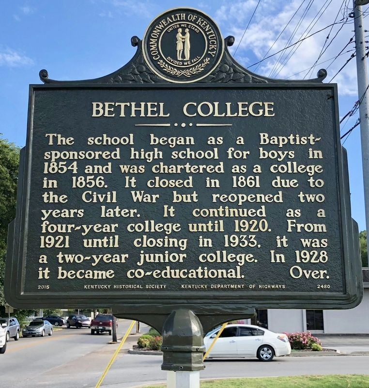
Bethel College
⎯⎯⎯
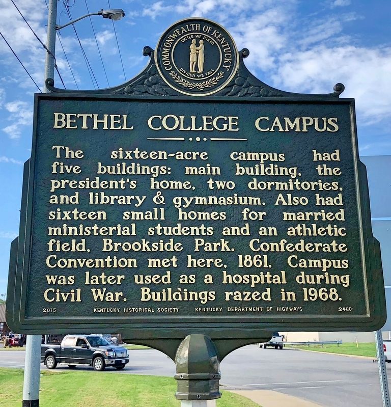
Bethel College Campus
Photographed by Mark Hilton, September 14, 2018
1. Bethel College Marker
Erected 2015 by Kentucky Historical Society, Kentucky Department of Highways. (Marker Number 2480.)
Topics and series. This historical marker is listed in these topic lists: Education • Religion & Religious Structures • War, US Civil. In addition, it is included in the Kentucky Historical Society series list. A significant historical year for this entry is 1854.
Location. 36° 50.637′ N, 86° 53.554′ W.
this page online

Regionally, this marker is in Kentucky’s Pennyroyal Region. It is also in the American Midwest, in the South, and specifically in the Upper South. Globally, it is in North America, the Western Hemisphere, the Western World, and the Anglosphere. Historically, it finds itself in what was once the territory of the Mississippian Culture and also the Antebellum South.
Other nearby markers. At least 8 other markers are within walking distance of this marker: Logan County Jail, 1874-1977 (approx. 0.2 miles away); County Named, 1792 (approx. 0.2 miles away); Governors from Logan (approx. 0.2 miles away); Thomas S. Rhea (approx. 0.2 miles away); Bowie, A Kentuckian (approx. 0.2 miles away); Confederate State Convention (approx. ¼ mile away); John Littlejohn (approx. ¼ mile away); To Honor Generals
Photographed by Mark Hilton, September 14, 2018
2. Bethel College Campus Marker
Also see . . . Wikipedia article on the Bethel College. Bethel College in Russellville was a male college and Bethel College in Hopkinsville was a female college. (Submitted on September 16, 2018, by Mark Hilton of Montgomery, Alabama.)
Photographed by Mark Hilton, September 14, 2018
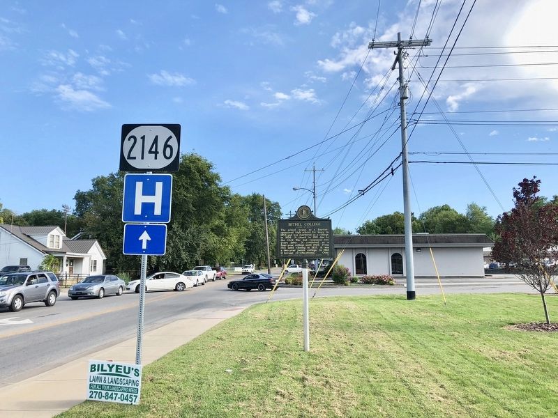
3. View of marker looking south on Bethel Street.
Photographed by Mark Hilton, September 14, 2018
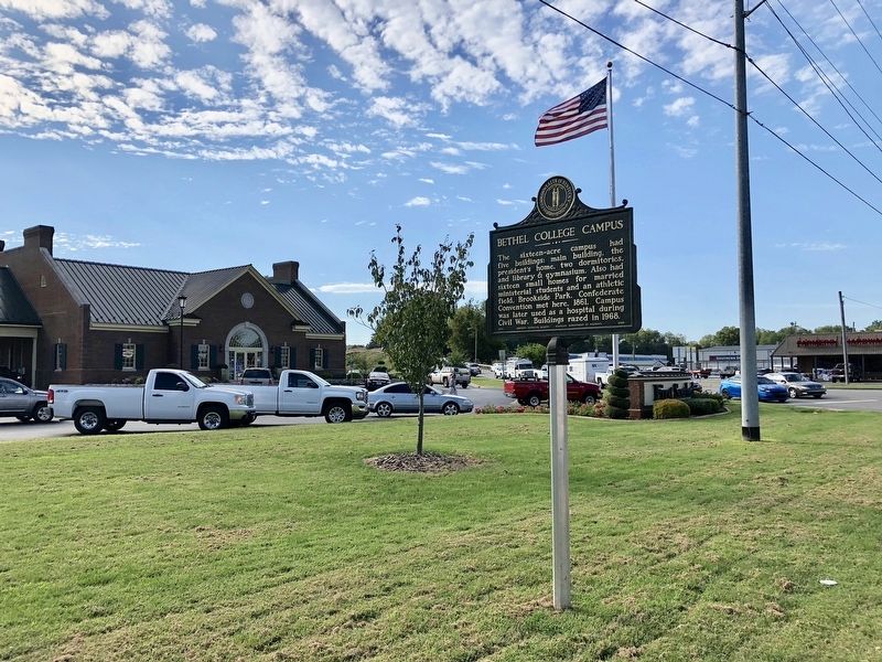
4. View of former area of the college.
Credits. This page was last revised on September 16, 2018. It was originally submitted on September 16, 2018, by Mark Hilton of Montgomery, Alabama. This page has been viewed 662 times since then and 49 times this year. Photos: 1, 2, 3, 4. submitted on September 16, 2018, by Mark Hilton of Montgomery, Alabama.
