
Leitchfield in Grayson County, Kentucky — The American South (East South Central)
Leitchfield Landmarks
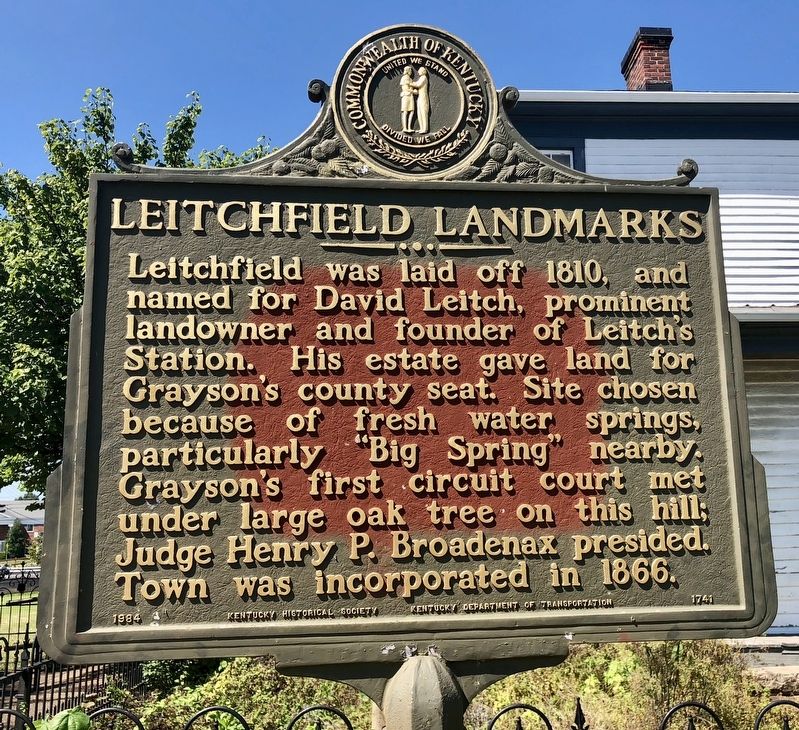
Photographed by Mark Hilton, September 14, 2018
1. Leitchfield Landmarks Marker
Erected 1984 by Kentucky Historical Society, Kentucky Department of Highways. (Marker Number 1741.)
Topics and series. This historical marker is listed in these topic lists: Settlements & Settlers • Waterways & Vessels. In addition, it is included in the Kentucky Historical Society series list. A significant historical year for this entry is 1810.
Location. 37° 28.784′ N, 86° 17.528′ W. Marker is in Leitchfield, Kentucky, in Grayson County. It is at the intersection of South Clinton Street and East Main Street, on the right when traveling south on South Clinton Street. Touch for map. Marker is at or near this postal address: 108 South Clinton Street, Leitchfield KY 42754, United States of America. Touch for directions.

Regionally, this marker is
this page online
Other nearby markers. At least 8 other markers are within 4 miles of this marker, measured as the crow flies: Jack Thomas House (within shouting distance of this marker); Grayson County WWI War Memorial (about 500 feet away); Grayson County Korean War Memorial (about 500 feet away); Grayson County World War II Memorial (about 500 feet away); County Named, 1810 (about 500 feet away); Shaw's Station / Beaver Dam Creek Baptist Church (approx. one mile away); “The Cedars” (approx. 2 miles away); Grayson Springs (approx. 3.9 miles away). Touch for a list and map of all markers in Leitchfield.
Another marker is no longer nearby. Courthouse Burned (was about 500 feet away, measured in a direct line but has been confirmed missing).
Also see . . . Explore Kentucky History article on Leitchfield Landmarks.
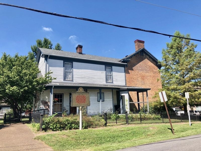
Photographed by Mark Hilton, September 14, 2018
2. Leitchfield Landmarks Marker at the Grayson Historical Society.
Credits. This page was last revised on November 20, 2019. It was originally submitted on September 18, 2018, by Mark Hilton of Montgomery, Alabama. This page has been viewed 760 times since then and 55 times this year. Photos: 1, 2. submitted on September 18, 2018, by Mark Hilton of Montgomery, Alabama.
