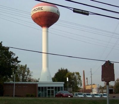
Baltimore in Fairfield County, Ohio — The American Midwest (Great Lakes)
The Ohio & Erie Canal and the "Twin Cities" / The Ohio & Erie Canal and the Dry Dock Lock
Inscription.
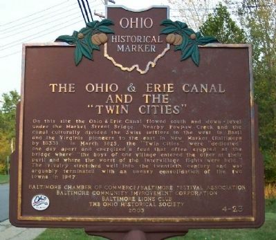
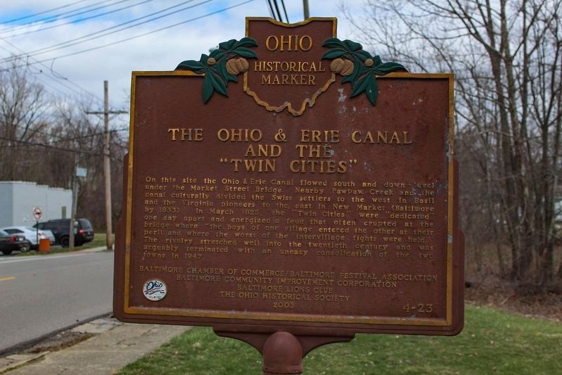
The Ohio & Erie Canal and the "Twin Cities"
On this site the Ohio & Erie Canal flowed south and down-level under the Market Street Bridge. Nearby Pawpaw Creek and the canal culturally divided the Swiss settlers to the west in Basil and the Virginia pioneers to the east in New Market (Baltimore by 1833). In March 1825, the "Twin Cities" were "dedicated" one day apart and energized a feud that often erupted at the bridge where "the boys of one village entered the other at their peril and where the worst of the intervillage fights were held." The rivalry stretched well into the twentieth century and was arguably terminated with an uneasy consolidation of the two in 1947.
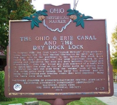
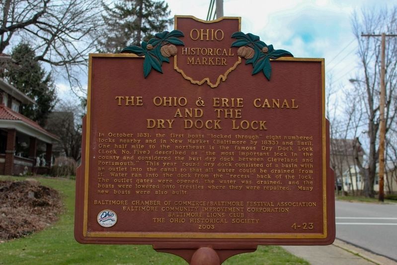
The Ohio & Erie Canal and the Dry Dock Lock
In October 1831, the fire boats "locked through" eight numbered locks nearby and in New Market (Baltimore by 1833) and Basil. One half mile to the northeast is the famous Dry Dock Lock (Lock No. Five) described as "the most important lock in the county and considered the best dry dock between Cleveland and Portsmouth." This year 'round dry dock consisted of a basin with an outlet into the canal so that all water could be drained from it. Water ran into the dock from the "recess" back of the lock. The outlet gates were opened, the water was drained, and the boats were lowered onto trestles where they were repaired. Many new boats were also built.
Erected 2003 by Baltimore Chamber of Commerce/Baltimore Festival Association, Baltimore Community Improvement Corporation, Baltimore Lions Club, and The Ohio Historical Society. (Marker Number 4-23.)
Topics and series. This historical marker is listed in these topic lists: Industry & Commerce • Settlements & Settlers • Waterways & Vessels. In addition, it is included in the Ohio and Erie Canal, and the Ohio Historical Society / The Ohio History Connection series lists. A significant historical month for this entry is March 1825.
Location. 39° 50.732′ N, 82° 36.376′ W. Marker is in Baltimore, Ohio, in Fairfield County. Marker is at the intersection of West Market Street (Ohio Route 256) and West Water Street, on the right when traveling east on West Market Street. Marker is across street from the Baltimore Post Office. Touch for map. Marker is at or near this postal address: 501 W Market Street, Baltimore OH 43105, United States of America. Touch for directions.
Other nearby markers. At least 8 other markers are within 6 miles of this marker, measured as the crow flies. Liberty Union VFW Post 3761 Veterans Memorial (approx. 0.4 miles away); VFW Post 3761 (approx. 1.3 miles away); Neptune P2V-5F (Sp-2E) 131522 (approx. 1.3 miles away); The History of Thurston (approx. 3.3 miles away);
Deep Cut at the Licking Summit / Millersport and the Ohio-Erie Canal (approx. 5.3 miles away); Millersport World War II Memorial (approx. 5.4 miles away); Floral Hills All American Veterans Memorial (approx. 5˝ miles away); Junction of the Ohio Erie and Lancaster Lateral Canals (approx. 6 miles away). Touch for a list and map of all markers in Baltimore.
Credits. This page was last revised on May 28, 2023. It was originally submitted on October 10, 2008, by William Fischer, Jr. of Scranton, Pennsylvania. This page has been viewed 1,687 times since then and 16 times this year. Last updated on October 4, 2021, by Grant & Mary Ann Fish of Galloway, Ohio. Photos: 1, 2. submitted on October 10, 2008, by William Fischer, Jr. of Scranton, Pennsylvania. 3, 4. submitted on May 13, 2023, by Alex Krempasky of Obetz, Ohio. 5. submitted on October 10, 2008, by William Fischer, Jr. of Scranton, Pennsylvania. • J. Makali Bruton was the editor who published this page.
