Mobile in Mobile County, Alabama — The American South (East South Central)
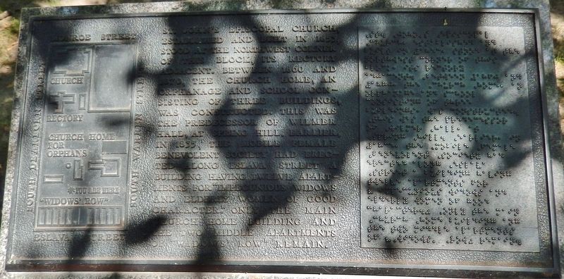
St. John's Episcopal Church
Photographed by Cosmos Mariner, May 9, 2018
1. St. John's Episcopal Church Marker
Topics. This historical marker is listed in these topic lists: Charity & Public Work • Fraternal or Sororal Organizations • Parks & Recreational Areas • Religion & Religious Structures. A significant historical year for this entry is 1855.
Location. 30° 41.078′ N, 88° 2.877′ W. Marker is in Mobile, Alabama, in Mobile County. It can be reached from South Dearborn Street north of Canal Street, on the right when traveling north. Marker is located within Mobile's British Park, beside the walking path on the south side of the
this page online

Regionally, this marker is on the Gulf Coast and in the Mobile Bay area. It is also in the American South, specifically in the Deep South, and on the Gulf Coast. Globally, it is in North America, a Gulf of Mexico state, the Western Hemisphere, the Western World, and the Anglosphere. Historically, it finds itself in what was once New Spain, the Viceroyalty of New France, the territory of the Mississippian Culture, one of the Confederate States of America, and the Antebellum South.
Other nearby markers. At least 8 other markers are within walking distance of this marker: James W. Roper (approx. 0.2 miles away); Emerson Institute (approx. 0.2 miles away); The Kennedy-Cox House / Joshua Kennedy Jr. (approx. 0.2 miles away); Crewe of Columbus Birthplace (approx. ¼ mile away); Big Zion African Methodist Episcopal Zion Church (approx. ¼ mile away); Old Church Street Cemetery - 1819 (approx. ¼ mile away); Barton Academy (approx. ¼ mile away); Bernardo de Galvez (approx.
Photographed by Cosmos Mariner, May 9, 2018
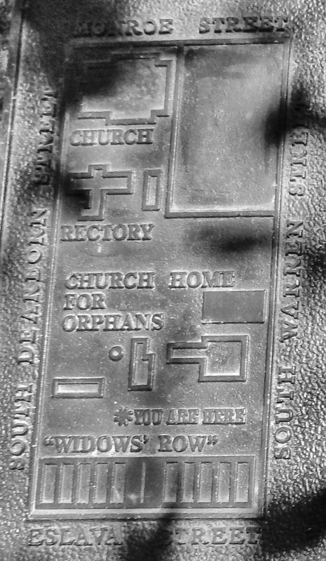
2. Marker detail: map
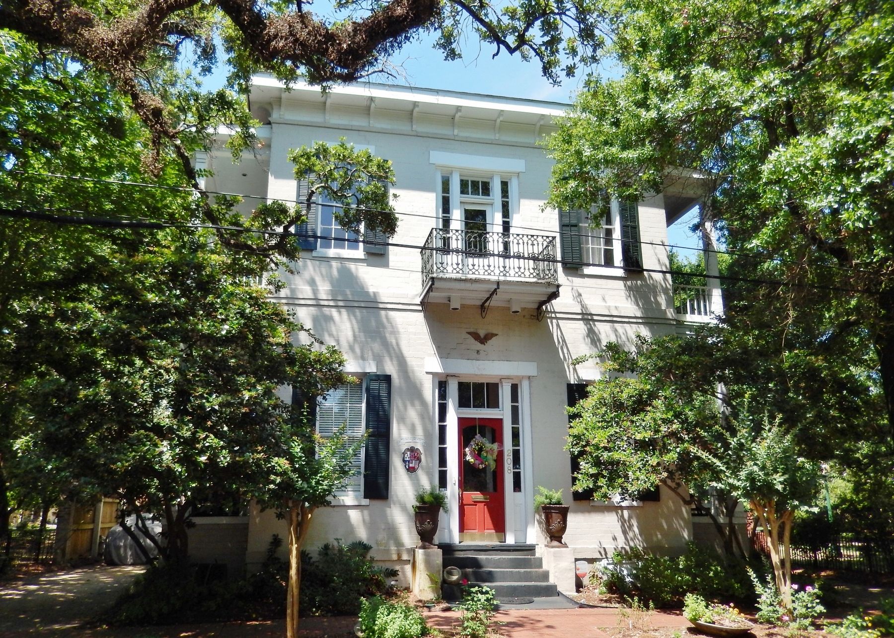
Also see . . . A Walking Tour of Church Street East Historic District. Continue south on S. Warren to St. John's Episcopal Church Home for Orphans c.1869-1870 located at 208 S. Warren St. The third oldest Episcopal church in Mobile, St. Johns occupied the corner of Dearborn and Monroe Streets from 1853 until 1953. Comprising a church, rectory and orphanage, only the building you see here survives. The first floor of the orphanage functioned as a school while the second floor served as a dormitory. This area is now known as British Park at St. Johns, or more simply British Park. (Submitted on September 18, 2018, by Cosmos Mariner of Cape Canaveral, Florida.)
Photographed by Cosmos Mariner, May 9, 2018
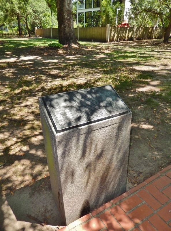
3. St. John's Episcopal Church Marker (tall view; St. John's Orphanage building in background)
Photographed by Cosmos Mariner, May 9, 2018
4. St. John's Orphanage (located near marker; this is front view from South Warren Street)
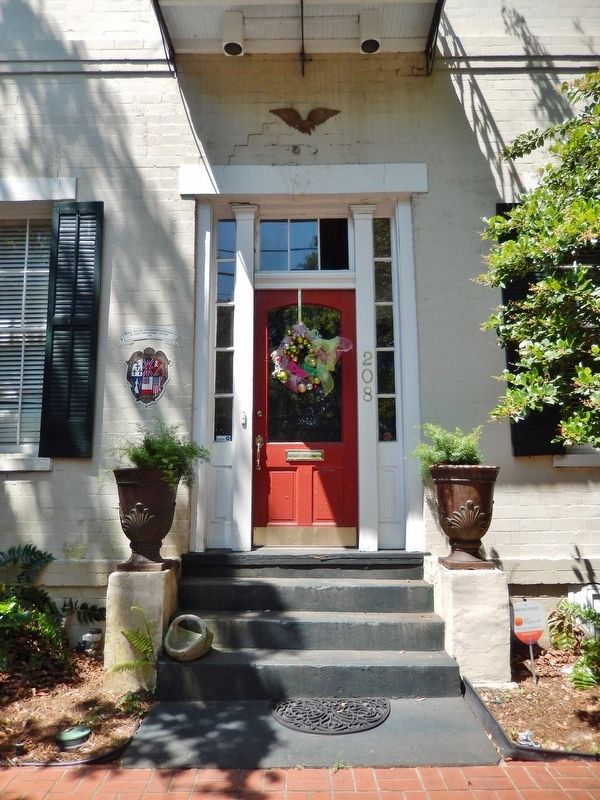
Photographed by Cosmos Mariner, May 9, 2018
5. St. John's Orphanage (front entrance detail)
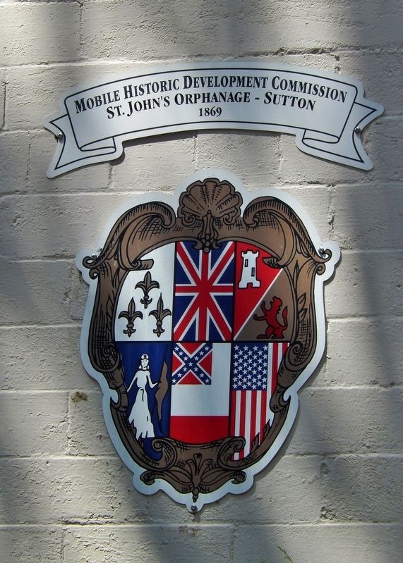
Photographed by Cosmos Mariner, May 9, 2018
6. St. John's Orphanage (historical plaque mounted beside front door)
Credits. This page was last revised on September 19, 2018. It was originally submitted on September 18, 2018, by Cosmos Mariner of Cape Canaveral, Florida. This page has been viewed 961 times since then and 82 times this year. Photos: 1, 2, 3, 4, 5, 6. submitted on September 18, 2018, by Cosmos Mariner of Cape Canaveral, Florida. • Bernard Fisher was the editor who published this page.
