Rochester in Butler County, Kentucky — The American South (East South Central)
Suffolk
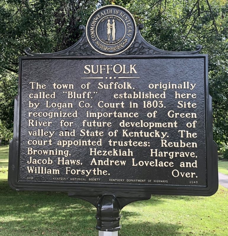
Photographed by Mark Hilton, September 14, 2018
1. Suffolk Marker
The town of Suffolk, originally called “Bluff,” established here by Logan Co. Court in 1803. Site recognized importance of Green River for future development of valley and State of Kentucky. The court appointed trustees: Reuben Browning, Hezekiah Hargrave, Jacob Haws, Andrew Lovelace and William Forsythe. Over.
When Butler County formed in 1810, Suffolk was the only town. Thomas Riddick laid out 104 half- acre lots for town plat from his father Jason’s Revolutionary War land grant. Although Suffolk failed, it became predecessor of the town of Rochester, an important shipping point on the Green River, founded in 1839.
Erected 2018 by Kentucky Historical Society, Kentucky Department of Highways. (Marker Number 2543.)
Topics and series. This historical marker is listed in these topic lists: Settlements & Settlers • Waterways & Vessels. In addition, it is included in the Kentucky Historical Society series list. A significant historical year for this entry is 1803.
Location. 37° 12.752′ N, 86° 53.562′ W. Marker is in Rochester, Kentucky, in
this page online

Regionally, this marker is in the Pennyroyal Region. It is also in the American South and specifically in the Upper South. Globally, it is in North America, the Western Hemisphere, the Western World, and the Anglosphere. Historically, it finds itself in what was once the territory of the Mississippian Culture and also the Antebellum South.
Other nearby markers. At least 8 other markers are within 13 miles of this marker, measured as the crow flies: Hunt Settlement (approx. 6.9 miles away); Capt. Henry Rhoads, Jr. (approx. 7.2 miles away); Airdrie Furnace Site / Iron Made in Kentucky (approx. 8½ miles away); James Forgy – Pioneer (approx. 10 miles away); Granville Allen (approx. 10.3 miles away); Cromwell Consolidated School (approx. 10.6 miles away); McHenry (approx. 11.9 miles away); Mount Zion Presbyterian Church (approx. 12.3 miles
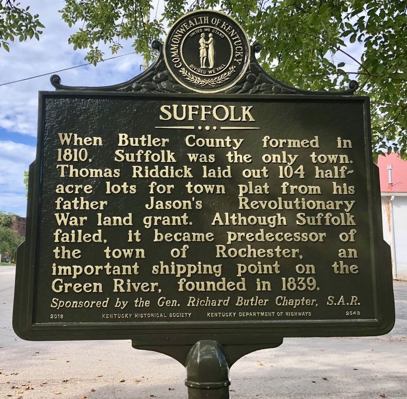
Photographed by Mark Hilton, September 14, 2018
2. Suffolk Marker (reverse)
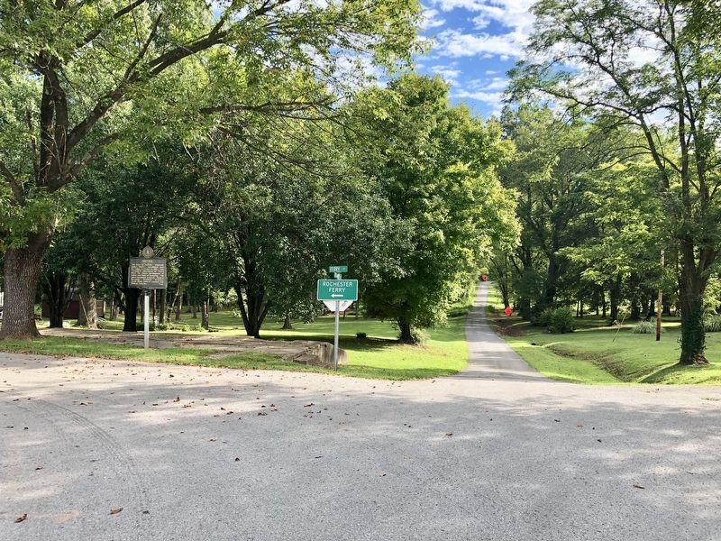
Photographed by Mark Hilton, September 14, 2018
3. Ferry Street to the left, leads to the Green River and the ferry across it.
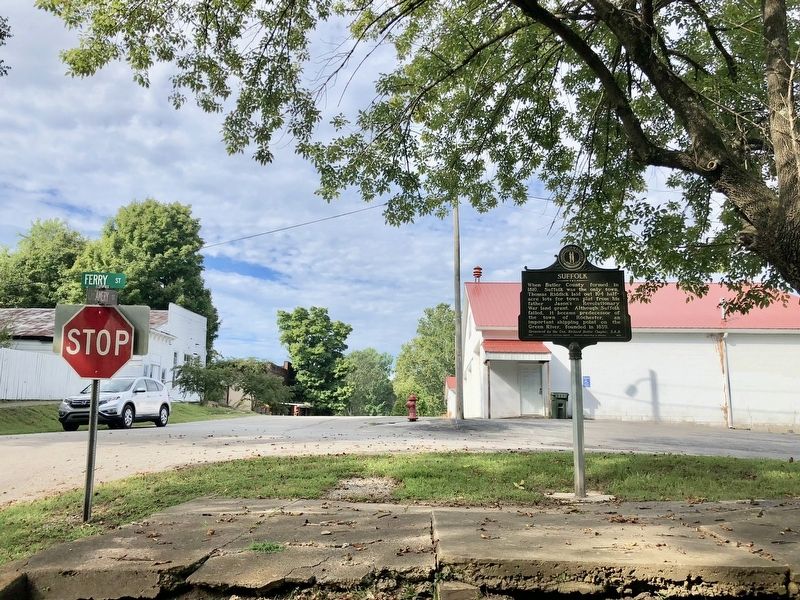
Photographed by Mark Hilton, September 14, 2018
4. View of marker looking westerly on Main Street.
Credits. This page was last revised on September 18, 2018. It was originally submitted on September 18, 2018, by Mark Hilton of Montgomery, Alabama. This page has been viewed 454 times since then and 49 times this year. Photos: 1, 2, 3, 4. submitted on September 18, 2018, by Mark Hilton of Montgomery, Alabama.
