The Famous Y Bridge In Galena, Missouri
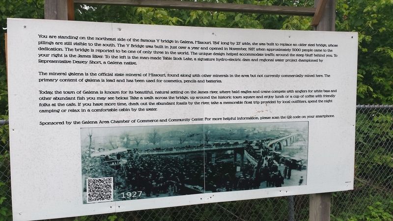
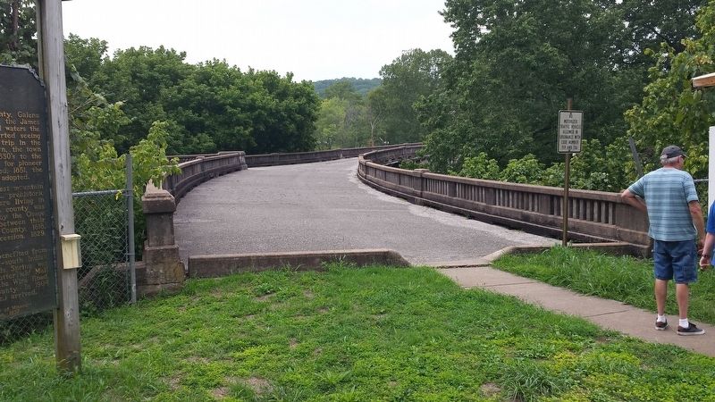
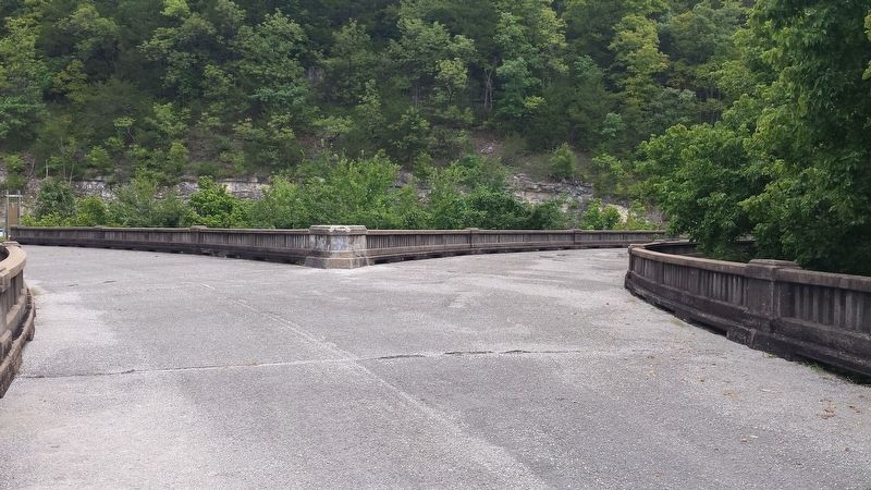
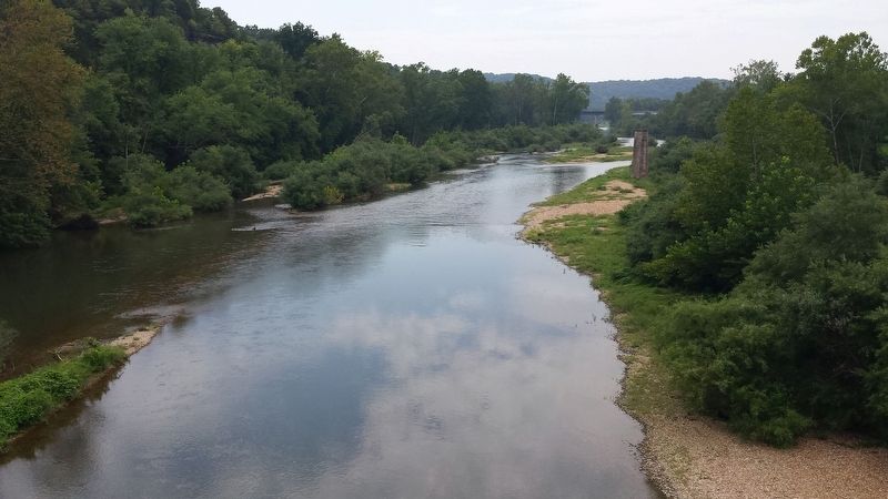
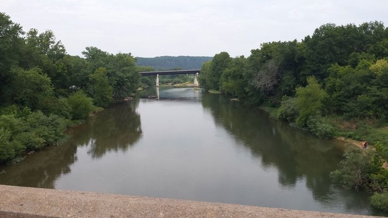
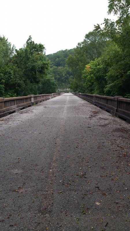
You are standing on the northeast side of the famous Y bridge in Galena, Missouri. 764’ long by 23’ wide, she was built to replace an older steel bridge whose pilings are still visible to the south. The Y Bridge was built in just over a year and opened in November; 1927, when approximately 5000 people came to the dedication. The bridge is reported to be one of only three in the world. The unique design helped accommodate traffic around the steep bluff behind you. To your right is the James River: To the left is the man-made Table Rock Lake, a signature hydro-electric dam and regional water project championed by Representative Dewey Short, a Galena native.
The mineral galena is the official state mineral of Missouri, found along with other minerals in the area but not currently commercially mined here. The primary content of galena is lead and has been used for cosmetics, pencils, and batteries.
Today, the town of Galena is known for its beautiful, natural setting on the James river, where bald eagles and crane compete with anglers for white bass and other abundant fish you may see below. Take a walk across the bridge, up around the historic town square and enjoy lunch or a cup of coffee with friendly folks at the café. If you have more time, check out the abundant fossils by the river, take a memorable float trip provided
by local outfitters, spend the night camping or relax in a comfortable cabin by the water:
Sponsored by the Galena Area Chamber of Commerce and Community Center: For more information, please scan the QR code on your smartphone.
Erected by Galena Area Chamber of Commerce and Community Center.
Topics. This historical marker is listed in these topic lists: Bridges & Viaducts • Industry & Commerce • Natural Features • Natural Resources. A significant historical month for this entry is November 1927.
Location. 36° 48.336′ N, 93° 27.638′ W. Marker is in Galena, Missouri, in Stone County. Marker is on 248, on the right when traveling south. This marker is across the river from downtown Galena. The bridge is now closed to motor vehicles and is now a pedestrian bridge. The markers can be seen from 248, but you have to park off the shoulder and walk up the path to read them. Touch for map. Marker is in this post office area: Galena MO 65656, United States of America. Touch for directions.
Other nearby markers. At least 8 other markers are within 12 miles of this marker, measured as the crow flies. Galena (a few steps from this marker); United We Stand (approx. 0.3 miles away); Honoring All Those Who Served (approx. 8.7 miles away); Duty, Honor, County (approx. 9 miles away); Veterans Memorial (approx. 9.1 miles away); Mars Hill Cemetery Veterans Memorial
Also see . . .
1. Y-Bridge (Galena, Missouri). From Wikipedia, the free encyclopedia (Submitted on September 19, 2018, by David Tibbs of Resaca, Georgia.)
2. Galena, Missouri: The Y Bridge. The Y Bridge page on Roadside America. (Submitted on September 19, 2018, by David Tibbs of Resaca, Georgia.)
3. The Y Bridge of Galena. StateoftheOzarks.net Celebrating & Preserving the Ozarks. (Submitted on September 19, 2018, by David Tibbs of Resaca, Georgia.)
Credits. This page was last revised on December 19, 2020. It was originally submitted on September 19, 2018, by David Tibbs of Resaca, Georgia. This page has been viewed 464 times since then and 65 times this year. Photos: 1, 2, 3, 4, 5, 6. submitted on September 19, 2018, by David Tibbs of Resaca, Georgia. • Bill Pfingsten was the editor who published this page.
