Midtown - Downtown in Columbia in Richland County, South Carolina — The American South (South Atlantic)
Beth Shalom Cemetery
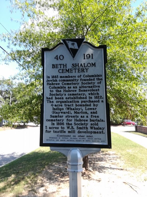
October 2018
1. Beth Shalom Cemetery Marker
Erected 2016 by Historic Columbia, Columbia Jewish Heritage Initiative, and Jewish Historical Society of SC. (Marker Number 40-191.)
Topics and series. This historical marker is listed in these topic lists: Cemeteries & Burial Sites • Religion & Religious Structures.
this page online
Location. 33° 59.316′ N, 81° 1.463′ W. Marker is in Columbia, South Carolina, in Richland County. It is in Midtown - Downtown. It is at the intersection of Whaley Street and Marion Street on Whaley Street. Touch for map. Marker is at or near this postal address: 1300 Block of Whaley Street, Columbia SC 29205, United States of America. Touch for directions.

Regionally, this marker is in the Midlands. It is also in the American South and specifically in the Deep South. Globally, it is in North America, the Western Hemisphere, the Western World, and the Anglosphere. Historically, it finds itself in what was once the territory of the Mississippian Culture, one of the original Thirteen Colonies, one of the Confederate States of America, and the Antebellum South.
Other nearby markers. At least 8 other markers are within walking distance of this marker: Gladden Home Site (approx. 0.3 miles away); Booker T. Washington School / Booker T. Washington High (approx. 0.3 miles away); Booker T. Washington High School (approx. 0.3
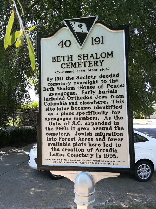
October 2018
2. Beth Shalom Cemetery Marker - other side
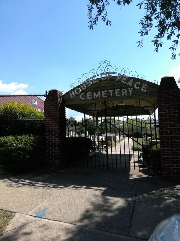
October 2018
3. Beth Shalom Cemetery Marker
Credits. This page was last revised on February 16, 2023. It was originally submitted on September 19, 2018. This page has been viewed 474 times since then and 35 times this year. Photos: 1, 2, 3. submitted on October 5, 2018. • Andrew Ruppenstein was the editor who published this page.
