Lancaster in Los Angeles County, California — The American West (Pacific Coastal)
Colonel William J. “Pete” Knight
Photographed by Craig Baker, June 29, 2018
1. Pete Knight Marker
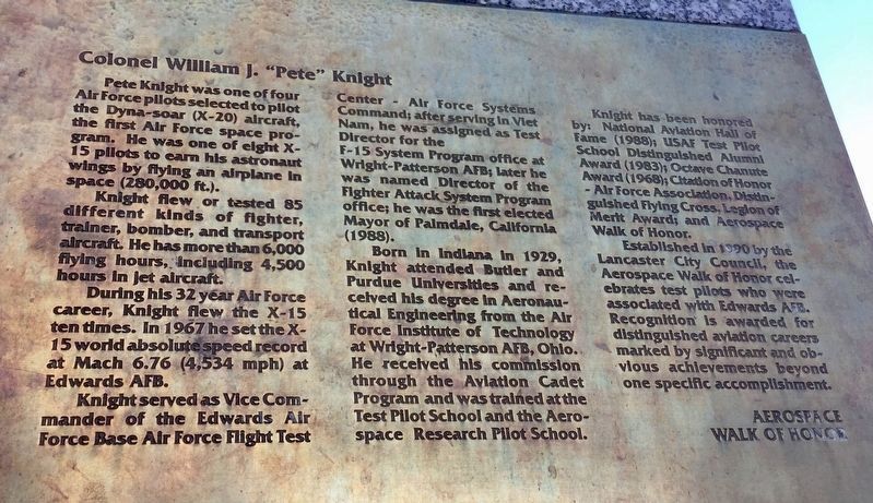
Pete Knight was one of four Air Force pilots selected to pilot the Dyna-Soar (X-20) aircraft, the first Air Force space program. He was one of eight X-15 pilots to earn his astronaut wings by flying an airplane in space (280,000 feet).
Knight flew or tested 85 different kinds of fighter, trainer, bomber, and transport aircraft. He has more than 6,000 flying hours, including 4,500 hours in jet aircraft.
During his 32 year Air Force career, Knight flew the X-15 ten times. In 1967 he set the X-15 world absolute speed record at Mach 6.76 (4,534 mph) at Edwards AFB.
Knight served as Vice Commander of the Edwards Air Force Base Flight Test Center - Air Force Systems Command; after serving in Vietnam, he was assigned as Test Director for the F-15 System Program office at Wright-Patterson AFB; later he was named Director of the Fighter Attack System Program office; he was the first elected Mayor of Palmdale, California (1988).
Born in Indiana in 1929, Knight attended Butler and Purdue Universities and received his degree in Aeronautical Engineering from the Air Force Institute of Technology at Wright-Patterson AFB,
this page online
Knight has been honored by: National Aviation Hall of Fame (1988); USAF Test Pilot School Distinguished Alumni Award (1983); Octave Chanute Award (1968); Citation of Honor - Air Force Association, Distinguished Flying Cross, Legion of Merit Award; and Aerospace Walk of Honor.
Established in 1990 by the Lancaster City Council, the Aerospace Walk of Honor celebrates test pilots who are associated with Edwards AFB. Recognition is awarded for distinguished aviation careers marked by significant and obvious achievements beyond one specific accomplishment.
Erected 1990 by City Of Lancaster CA - Aerospace Walk of Honor.
Topics and series. This memorial is listed in these topic lists: Air & Space • Government & Politics • War, Cold • War, Vietnam. In addition, it is included in the Valor in Aerial Operations series list.
Location. 34° 41.884′ N, 118° 8.481′ W. Memorial is in Lancaster, California, in Los Angeles County.
Photographed by Craig Baker, March 23, 2018
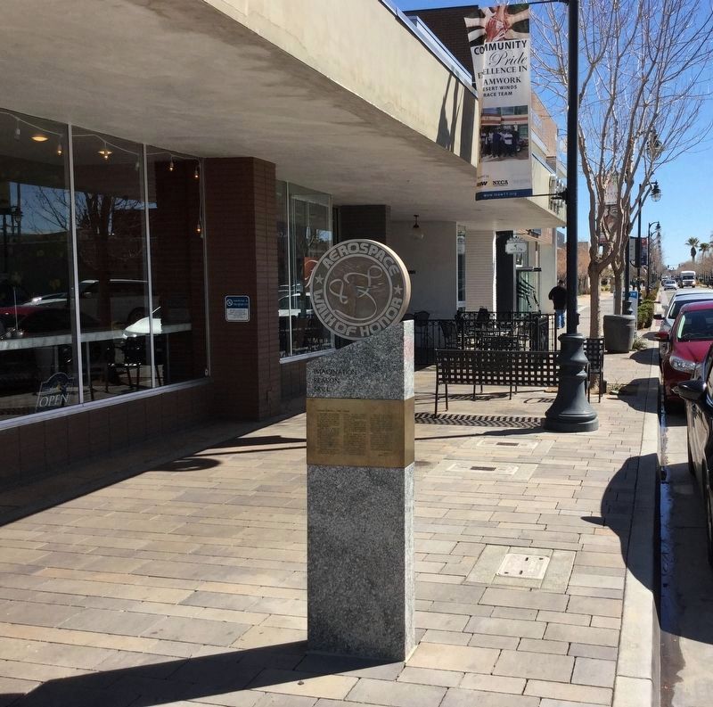
2. Pete Knight Marker

Regionally, this memorial is in Greater Los Angeles, in the High Desert, and in the Transverse Ranges. It is also on the American Pacific Coast. Globally, it is in North America, on the Ring of Fire, on the Pacific Rim, in the Western Hemisphere, in the Western World, and in the Anglosphere. Historically, it finds itself in what was once New Spain and also Mexico’s Alta California.
Other nearby markers. At least 8 other markers are within walking distance of this marker: Brig. General Charles E. “Chuck” Yeager (within shouting distance of this marker); Fred Wallace Haise (about 500 feet away, measured in a direct line); Lt. Gen. James H. "Jimmy" Doolittle (about 500 feet away); Colonel Frank Borman, USAF (about 500 feet away); Col. Robert L. "Silver Fox" Stephens, USAF (about 700 feet away); Lt. Col. Robert G. "Bob" Ferry, USAF (about 700 feet away); Western Hotel (about 700 feet
Photographed by Craig Baker, March 8, 2018
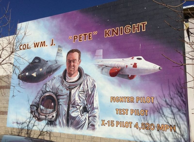
3. Nearby Mural
Located on Elm Ave, north of Lancaster Blvd.
Also see . . . Aerospace Walk of Honor. City Of Lancaster CA web page includes a map of all 100 markers. (Submitted on September 21, 2018.)
Credits. This page was last revised on November 25, 2023. It was originally submitted on September 21, 2018, by Craig Baker of Sylmar, California. This page has been viewed 552 times since then and 34 times this year. Last updated on September 22, 2018, by Craig Baker of Sylmar, California. Photos: 1, 2, 3. submitted on September 21, 2018, by Craig Baker of Sylmar, California. • Syd Whittle was the editor who published this page.
Editor’s want-list for this marker. Photos of the other markers along Lancaster Blvd, on their own marker pages. • Can you help?
